Forest Hills in Northwest Washington in Washington, District of Columbia — The American Northeast (Mid-Atlantic)
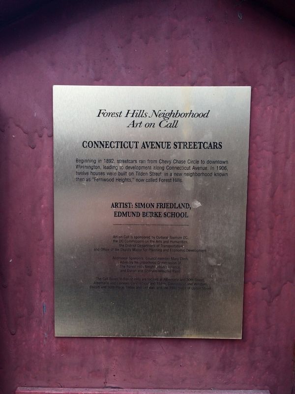
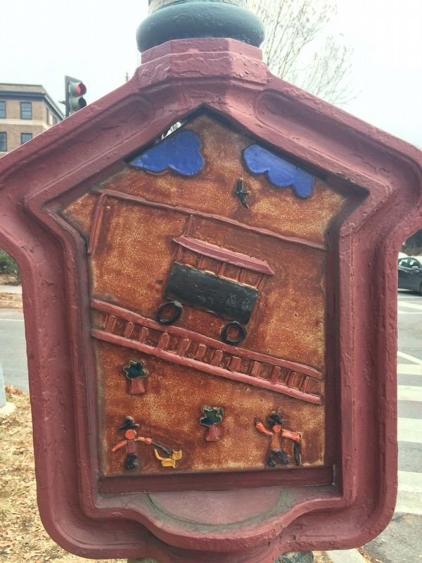
Connecticut Avenue Streetcars
Forest Hills Neighborhood
— Art on Call —
Beginning in 1892, streetcars ran from Chevy Chase Circle to downtown Washington, leading to development along Connecticut Avenue. In 1906, twelve houses were built on Tilden Street in a new neighborhood known then as "Fernwood Heights," now called Forest Hills.
Edmund Burke School
Erected by Cultural Tourism DC.
Topics and series. This historical marker is listed in this topic list: Railroads & Streetcars. In addition, it is included in the DC, Art on Call series list. A significant historical year for this entry is 1892.
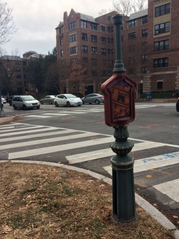
Location. 38° 56.457′ N, 77° 3.695′ W. Marker is in Northwest Washington in Washington, District of Columbia. It is in Forest Hills. Marker can be reached from the intersection of Tilden Street Northwest and Connecticut Avenue Northwest, in the median. Touch for map. Marker is in this post office area: Washington DC 20008, United States of America. Touch for directions.
Other nearby markers. At least 8 other markers are within walking distance of this marker. First Atomic Clock, 1948 (about 500 feet away, measured in a direct line); Cultural Institutions (about 600 feet away); Science Has Its Traditions As Well As Its Frontiers (approx. 0.2 miles away); The Broadmoor (approx. ¼ mile away); Bungalow (approx. ¼ mile away); "Music of the Spheres" (approx. 0.3 miles away); Landscape (approx. 0.3 miles away); Garden of the Righteous (approx. 0.3 miles away). Touch for a list and map of all markers in Northwest Washington.
Credits. This page was last revised on January 30, 2023. It was originally submitted on December 17, 2017, by Devry Becker Jones of Washington, District of Columbia. This page has been viewed 232 times since then and 16 times this year. Photos: 1, 2, 3. submitted on December 17, 2017, by Devry Becker Jones of Washington, District of Columbia. • Bill Pfingsten was the editor who published this page.


