Eastham in Barnstable County, Massachusetts — The American Northeast (New England)
The Outermost House
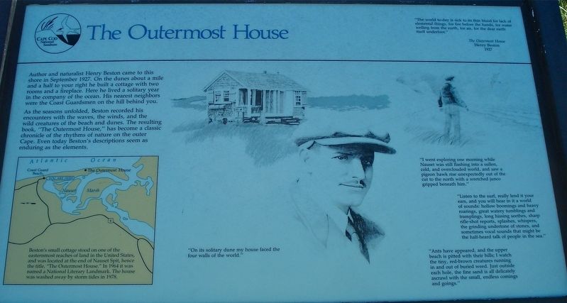
As the seasons unfolded, Beston recorded his encounters with the waves, the winds, and the wild creatures of the beach and dunes. The resulting book, “The Outermost House,” has become a classic chronicle of the rhythms of nature on the outer Cape. Even today Bestonís descriptions seem as enduring as the elements.
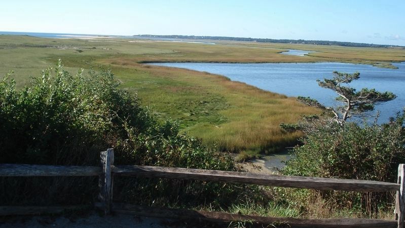
Bestonís small cottage stood on one of the easternmost reaches of land in the United States, and was located at the end of Nauset Spit, hence the title, “The Outermost House.”
In 1964 it was named a National Literary Landmark. The house was washed away by storm tides in 1978.
Erected by Cape Cod National Seashore.
Topics. This historical marker is listed in this topic list: Arts, Letters, Music. A significant historical month for this entry is September 1927.
Location. 41° 50.61′ N, 69° 56.827′ W. Marker is in Eastham, Massachusetts, in Barnstable County. Marker can be reached from Ocean View Drive. The marker is located at the end of a short path between the two buildings of the former Nauset Coast Guard Station. The path starts at the parking lot in front of the buildings. Touch for map. Marker is at or near this postal address: 2 Ocean View Drive, Eastham MA 02642, United States of America. Touch for directions.
Other nearby markers. At least 8 other markers are within 2 miles of this marker, measured as the crow flies. Journey of the Mayflower (here, next to this marker); Coast Guard Beach: (a few steps from this marker); Outermost cliff and solitary duneÖ (about 300 feet away, measured in a direct line); Doane Rock (approx. 0.6 miles away); The Long, Black Cable (approx. 1.2 miles away); Pushed Back by the Sea (approx. 1.2 miles away); The Nauset Lights (approx. 1.2 miles away); Three Sisters Lit the Way (approx. 1.2 miles away). Touch for a list and map of all markers in Eastham.
Also see . . .
1. The Outermost House. (Submitted on December 18, 2017, by Alan M. Perrie of Unionville, Connecticut.)
2. Henry Beston. (Submitted on December 18, 2017, by Alan M. Perrie of Unionville, Connecticut.)
Credits. This page was last revised on September 29, 2020. It was originally submitted on December 18, 2017, by Alan M. Perrie of Unionville, Connecticut. This page has been viewed 3,064 times since then and 262 times this year. Photos: 1, 2. submitted on December 18, 2017, by Alan M. Perrie of Unionville, Connecticut. • Bill Pfingsten was the editor who published this page.

