Provincetown in Barnstable County, Massachusetts — The American Northeast (New England)
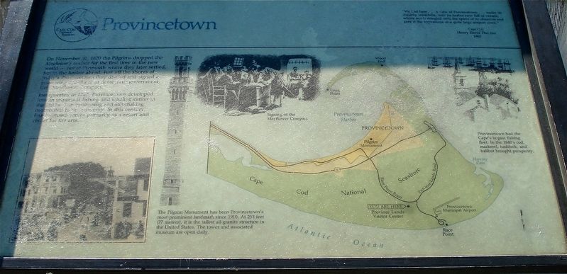
Provincetown
Incorporated in 1727, Provincetown developed into an important fishing and whaling center in the 1780’s. Fish processing and salt-making, contributed to the economy. In this century, Provincetown serves primarily as a resort and center for the arts.
The Pilgrim Monument has been Provincetown’s most prominent landmark since 1910. At 253 feet (77 meters), it is the tallest all-granite structure in the United States. The tower and the associated museum are open daily.
Provincetown had the Cape’s largest fishing fleet. In the 1840’s cod, mackerel, haddock, and halibut brought prosperity.
Erected by Cape Cod National Seashore.
Topics. This historical marker is listed in these topic lists: Colonial Era • Settlements & Settlers. A significant historical date for this entry is November 20, 1620.
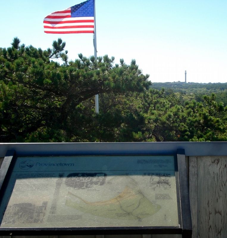
Location. 42° 4.449′ N, 70° 12.315′ W. Marker is in Provincetown, Massachusetts, in Barnstable County. Marker can be reached from Race Point Road. The marker is on an outside deck of the Race Point Visitors Center. Touch for map. Marker is at or near this postal address: 171 Race Point Road, Provincetown MA 02657, United States of America. Touch for directions.
Other nearby markers. At least 8 other markers are within 2 miles of this marker, measured as the crow flies. H.M.S. Somerset (here, next to this marker); Pilgrim Memorial Stone (approx. 1.8 miles away); Mayflowers Passengers Memorial (approx. 1.8 miles away); Provincetown Veterans Memorial (approx. 1.8 miles away); Provincetown AIDS Memorial (approx. 1.8 miles away); Sons of Provincetown (approx. 1.8 miles away); #286 Commercial St. (approx. 1.8 miles away); Rose Dorothea (approx. 1.8 miles away). Touch for a list and map of all markers in Provincetown.
Also see . . .
1. Provincetown. (Submitted on December 18, 2017, by Alan M. Perrie of Unionville, Connecticut.)
2. Pilgrim Monument. (Submitted on December 18, 2017, by Alan M. Perrie of Unionville, Connecticut.)
Credits. This page was last revised on December 20, 2017. It was originally submitted on December 18, 2017, by Alan M. Perrie of Unionville, Connecticut. This page has been viewed 325 times since then and 16 times this year. Photos: 1, 2. submitted on December 18, 2017, by Alan M. Perrie of Unionville, Connecticut. • Bill Pfingsten was the editor who published this page.

