Marker Logo HMdb.org THE HISTORICAL
MARKER DATABASE
“Bite-Size Bits of Local, National, and Global History”
Koolauloa near Kahuku in Honolulu County, Hawaii — Hawaiian Island Archipelago (Pacific Ocean)
 

Opana Radar Site

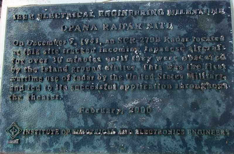
IEEE Electrical Engineering Milestone


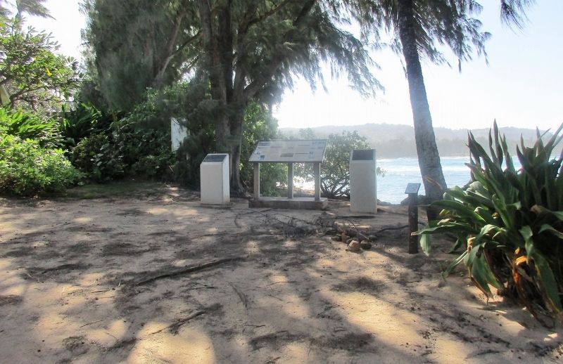
Opana Radar Site Marker image. Click for full size.
Photographed By Rev. Ronald Irick, December 5, 2017
1. Opana Radar Site Marker
Inscription. On December 7, 1941, an SCR-270B Radar located at this site tracked incoming Japanese aircraft for over 30 minutes until they were obscured by the island ground clutter. This was the first wartime use of radar by the United States Military, and led to its successful application throughout the theater.
 
Erected 2000 by Insitute of Electrical and Electronics Engineers.
 
Topics and series. This memorial is listed in these topic lists: Air & SpaceCommunicationsScience & MedicineWar, World II. In addition, it is included in the IEEE Milestones in Electrical Engineering and Computing series list. A significant historical date for this entry is December 7, 1941.
 
Location. 21° 42.265′ N, 157° 59.925′ W. Marker is near Kahuku, Hawaii, in Honolulu County. It is in Koolauloa. Memorial can be reached from Kuilima Drive, half a mile north of Hawaii Route 83, on the left when traveling north. Marker is accessible from a “Shoreline Public Access” to the left of a loading dock, at the Turtle Bay Resort. Touch for map. Marker is at or near this postal address: 57-091 Kuilima Dr, Kahuku HI 96731, United States of America. Touch for directions.
 
Other nearby markers. At least 3 other markers are within 7 miles of this marker, measured as the crow flies. A different marker also named Opana Radar Site (here,
Paid Advertisement
Click on the ad for more information.
Please report objectionable advertising to the Editor.
Click or scan to see
this page online
next to this marker); Mission School (approx. 5.8 miles away); Breaking Ground with a Vision: An Inspired Beginning (approx. 6.2 miles away).
 
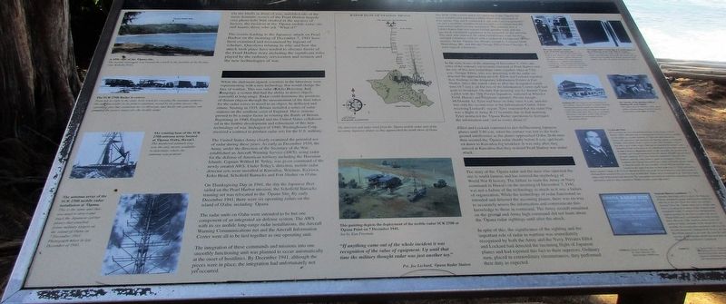
Opana Radar Site Marker, on the left image. Click for full size.
Photographed By Rev. Ronald Irick, December 5, 2017
2. Opana Radar Site Marker, on the left
Opana Radar Site Marker image. Click for full size.
Photographed By Rev. Ronald Irick, December 5, 2017
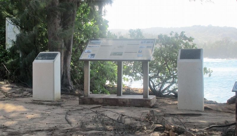
3. Opana Radar Site Marker
The top of the ridge in the background is also related to this marker.
An additional Opana Radar Site Marker image. Click for full size.
Photographed By Rev. Ronald Irick, December 5, 2017
4. An additional Opana Radar Site Marker
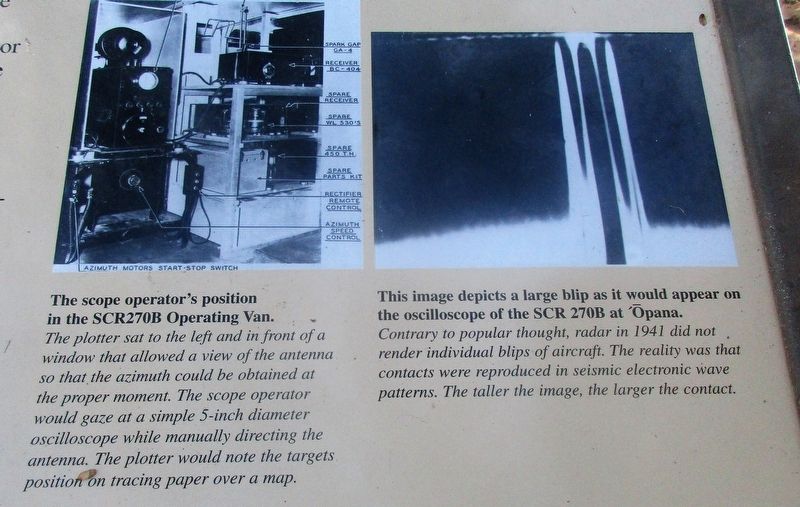
Opana Radar Site Marker detail image. Click for full size.
Photographed By Rev. Ronald Irick, December 5, 2017
5. Opana Radar Site Marker detail
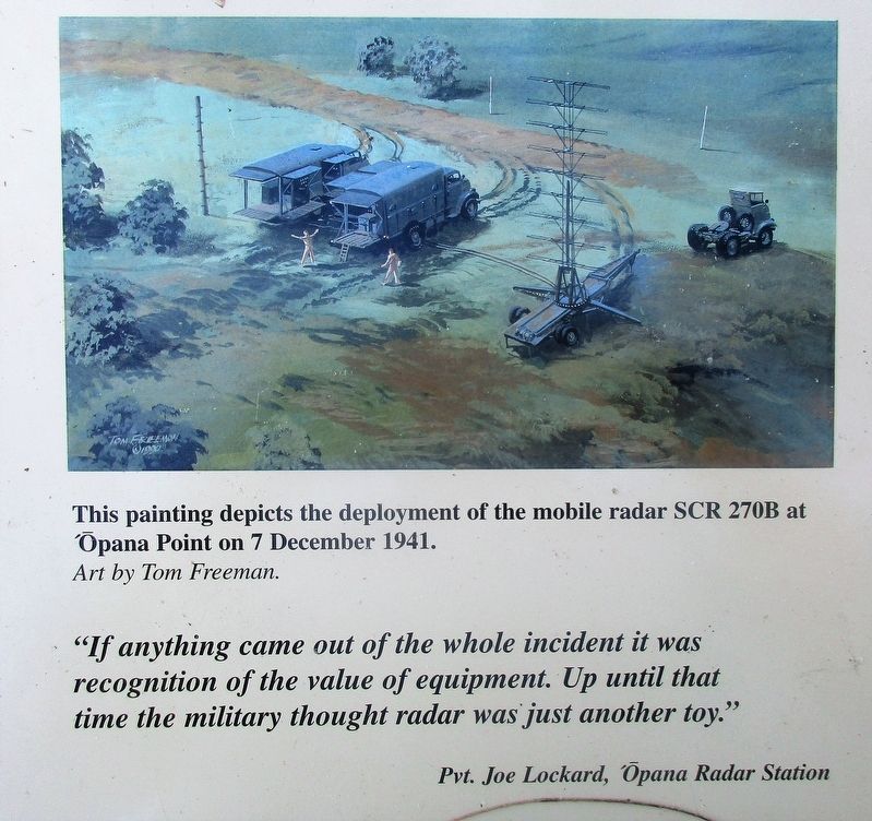
Additional Opana Radar Site Marker detail image. Click for full size.
Photographed By Rev. Ronald Irick, December 5, 2017
6. Additional Opana Radar Site Marker detail
A painting of the Opano radar Site, with mobile SR-270B consisting of three trucks.
 
 
Credits. This page was last revised on February 10, 2023. It was originally submitted on December 28, 2017. This page has been viewed 361 times since then and 25 times this year. Last updated on August 8, 2020, by Craig Baker of Sylmar, California. Photos:   1, 2, 3, 4, 5, 6. submitted on December 28, 2017, by Rev. Ronald Irick of West Liberty, Ohio. • J. Makali Bruton was the editor who published this page.
Share this page.  
Share on Tumblr
m=154431

CeraNet Cloud Computing sponsors the Historical Marker Database.
This website earns income from purchases you make after using our links to Amazon.com. We appreciate your support.
Paid Advertisement
Apr. 25, 2024