Near Greenville in Greenville County, South Carolina — The American South (South Atlantic)
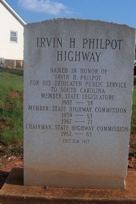
Irvin H. Philpot Highway
Irvin H. Philpot
for his dedicated public service
to South Carolina.
Member, State Legislature
1952 -- 58
Member, State Highway Commission
1959 -- 63
1967 -- 71
Chairman, State Highway Commission
1962 -- 63
Erected 1977.
Topics. This historical marker is listed in this topic list: Roads & Vehicles. A significant historical year for this entry is 1952.
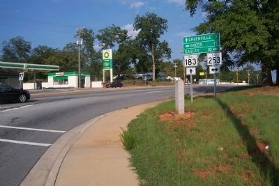
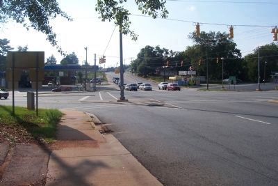
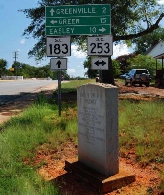
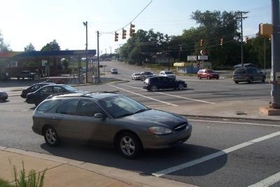
Location. 34° 52.239′ N, 82° 25.788′ W. Marker is near Greenville, South Carolina, in Greenville County. Marker is at the intersection of Cedar Lane Road (State Highway 183) and W. Blue Ridge Drive (State Highway 253), on the left when traveling west on Cedar Lane Road. Touch for map. Marker is in this post office area: Greenville SC 29611, United States of America. Touch for directions.
Other nearby markers. At least 10 other markers are within walking distance of this marker. Parker High School (approx. ¼ mile away); Poe Mill (approx. ¼ mile away); Poinsett (approx. ¼ mile away); Slater (approx. ¼ mile away); Piedmont (approx. ¼ mile away); American Spinning (approx. ¼ mile away); Mills Mill (approx. ¼ mile away); Monaghan (approx. ¼ mile away); Brandon Mill (approx. ¼ mile away); Camperdown (approx. ¼ mile away). Touch for a list and map of all markers in Greenville.
More about this marker. This marker is located at a very busy intersection. For your safety, it is best to approach from Poe Street, which is one block off of Cedar Lane Road.
Credits. This page was last revised on December 13, 2019. It was originally submitted on September 7, 2008, by M. L. 'Mitch' Gambrell of Taylors, South Carolina. This page has been viewed 1,163 times since then and 17 times this year. Photos: 1, 2, 3. submitted on September 8, 2008, by M. L. 'Mitch' Gambrell of Taylors, South Carolina. 4. submitted on November 5, 2009, by Brian Scott of Anderson, South Carolina. 5. submitted on September 8, 2008, by M. L. 'Mitch' Gambrell of Taylors, South Carolina. • Kevin W. was the editor who published this page.
