Near The Dalles in Wasco County, Oregon — The American West (Northwest)
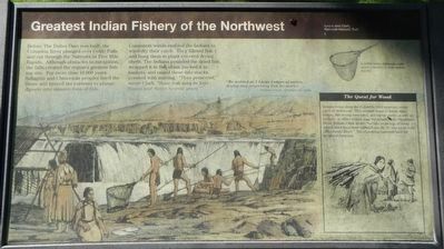
Greatest Indian Fishery of the Northwest
Inscription.
Before The Dalles Dam was built, the Columbia River plunged over Celilo Falls and cut through the Narrows or Five Mile Rapids. Although obstacles to navigation, the falls created the region’s greatest fishing site. For more than 10,000 years Sahaptin and Chinookan peoples lined the shore and braved the currents to plunge dipnets into massive runs of fish.
Consistent winds enabled the Indians to wind-dry their catch. They filleted fish and hung them in plank-covered drying sheds. The Indians pounded the dried fish, wrapped it in fish skins, packed it in baskets, and raised these into stacks covered with matting. “Thus preserved,” wrote Clark, “those fish may be kept Sound and Sweet Several years.”
(side-bar, on right:)
Indians living along the Columbia tried to secure every piece of driftwood. The needed wood to frame their lodges, fish-drying structures, and burial vaults, as well as for fuel. At Miller Island, near the mouth of the Deschutes River, William Clark wrote: "we saw large logs of wood which must have been rafted sown the To war-ne hi ooks (Deschutes River)" The expedition bartered hard for scraps of firewood.
Topics and series. This historical marker is listed in these topic lists: Exploration • Native Americans • Waterways & Vessels. In addition, it is included in the Lewis & Clark Expedition series list. A significant day of the year for for this entry is October 22.
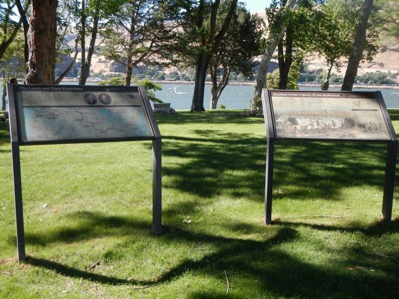
Location. 45° 39.024′ N, 120° 57.642′ W. Marker is near The Dalles, Oregon, in Wasco County. Marker can be reached from Oregon Route 206 near Interstate 84, on the right when traveling west. The marker is located in Celilo Park near the parking lot. Celilo Park is accessed from Interstate 84 at Exit 97. Touch for map. Marker is in this post office area: The Dalles OR 97058, United States of America. Touch for directions.
Other nearby markers. At least 8 other markers are within walking distance of this marker. The Lewis and Clark Expedition (a few steps from this marker); Ancient Indian Fishing Grounds (within shouting distance of this marker); Celilo Falls Fishing Grounds (about 400 feet away, measured in a direct line); Class P-2 Engine No. 2507 (approx. 0.6 miles away in Washington); Great Falls of the Columbia (approx. 0.9 miles away in Washington); Wyam (approx. 0.9 miles away in Washington); Celilo Falls (approx. 0.9 miles away in Washington); View of Mount Jefferson (approx. 0.9 miles away in Washington). Touch for a list and map of all markers in The Dalles.
Credits. This page was last revised on December 29, 2017. It was originally submitted on December 29, 2017, by Barry Swackhamer of Brentwood, California. This page has been viewed 167 times since then and 10 times this year. Photos: 1, 2. submitted on December 29, 2017, by Barry Swackhamer of Brentwood, California.

