Mill Hill in Trenton in Mercer County, New Jersey — The American Northeast (Mid-Atlantic)
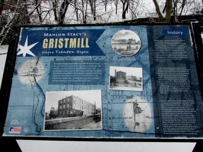
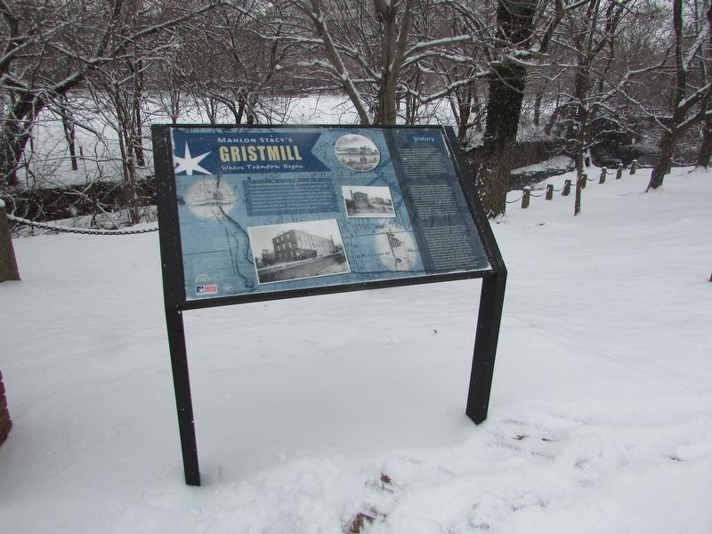
Mahlon Stacy’s Gristmill
Where Trenton Began
Trenton originated with a gristmill founded near this spot on the Assunpink Creek over three centuries ago. The mill drove the early economic growth of the town, soon becoming known as Trent’s or the Trenton Mills after the family that owned and invested in the enterprise. In spite of numerous floods and some devastating fires, mill waterwheels turned here for almost 200 years, grinding grain into flour and meal, and later helping to make cotton, wool and paper.
history
In 1714, Mahlon Stacy, the younger, sold his father’s property to William Trent, a Philadelphia merchant whose name soon came to define the emerging town. The Trents rebuilt and enlarged the gristmill, adding a sawmill and fulling mill. Within a few years the gristmill was the most productive in all of West Jersey and taxed at a level four times more than its competitors. The Trenton Mills flourished under the succession of wealthy and politically well connected owners who took over the Trent estate: William Morris (1729-33), George Thomas (1733-53), Robert Lettis Hooper (1753-65), and Robert Waln (1765-84).
The main action of the Second Battle of Trenton on January 2, 1777 swirled all around the Trenton Mills, as the American forces repelled British efforts to cross the nearby bridge over the Assunpink. After the Revolution the mills went into decline and were effectively bankrupt by the early 19th century. In 1814 the Waln family resurrected the building as part of their Eagle Factory textile venture, using the premises for picking and carding cotton. Floods in 1822 and 1843, followed by a fire in 1846, doomed this business, causing the site to be sold and redeveloped in 1851 by Henry McCall as a paper mill. This building was also felled by a fire in 1872, finally spelling the end of industrial activity at this seminal location in Trenton’s landscape.
Topics. This historical marker is listed in these topic lists: Colonial Era • Settlements & Settlers • War, US Revolutionary.
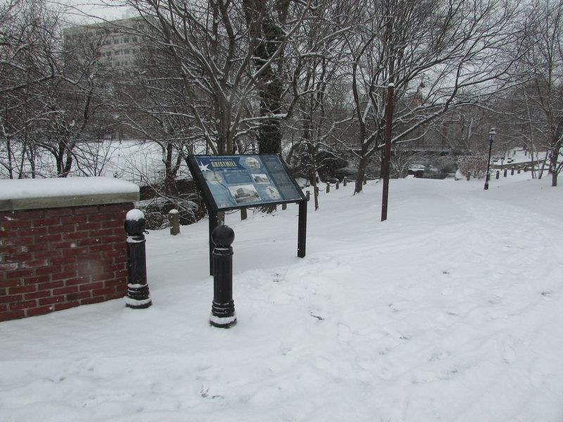
Location. 40° 13.086′ N, 74° 45.838′ W. Marker is in Trenton, New Jersey, in Mercer County. It is in Mill Hill. Marker is on S Broad Street, on the left when traveling north. Touch for map. Marker is in this post office area: Trenton NJ 08608, United States of America. Touch for directions.
Other nearby markers. At least 8 other markers are within walking distance of this marker. Assunpink Creek (a few steps from this marker); The Second Battle of Trenton (a few steps from this marker); Mahlon Stacy’s Grist Mill (a few steps from this marker); a different marker also named Assunpink Creek (a few steps from this marker); a different marker also named Assunpink Creek (a few steps from this marker); a different marker also named Assunpink Creek (within shouting distance of this marker); a different marker also named Assunpink Creek (within shouting distance of this marker); Washington’s Triumphal Arch (within shouting distance of this marker). Touch for a list and map of all markers in Trenton.
More about this marker. The background of the marker features A Plan of Sundry Lots of Daniel W. Coxe, circa 1804. Identified on the Plan are “The William Trent House, also known as Bloomsbury.” and “Trenton Mills and the South Broad Bridge”
Other images and photos on the marker depict “The millpond with the Trenton Mills and the South Broad Street Bridge in the background, 1848.”; “The McCall Paper Mill and the South Broad Street Bridge, circa 1870.”; and a “McCall Paper Mill View looking southeast from the South Broad Street Bridge toward where you are now standing to Mill Hill Park, circa 1870.”
Credits. This page was last revised on February 16, 2023. It was originally submitted on December 31, 2017, by Bill Coughlin of Woodland Park, New Jersey. This page has been viewed 351 times since then and 30 times this year. Photos: 1, 2, 3. submitted on December 31, 2017, by Bill Coughlin of Woodland Park, New Jersey.


