Marker Logo HMdb.org THE HISTORICAL
MARKER DATABASE
“Bite-Size Bits of Local, National, and Global History”
Oak Ridge in Anderson County, Tennessee — The American South (East South Central)
 

The Chapel-on-the-Hill


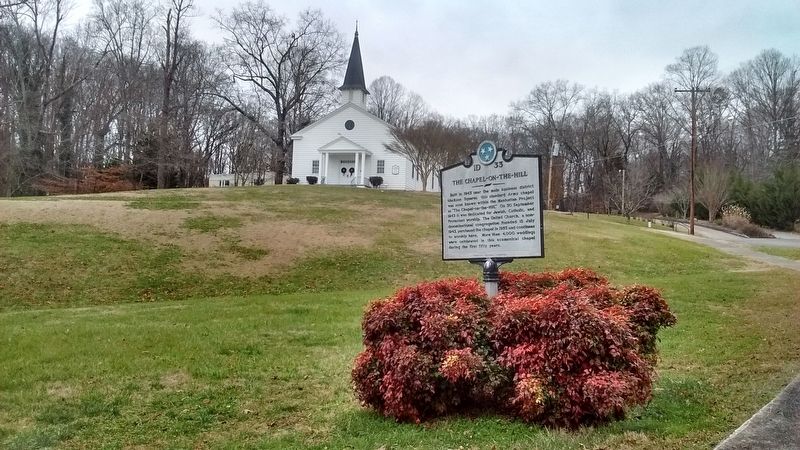
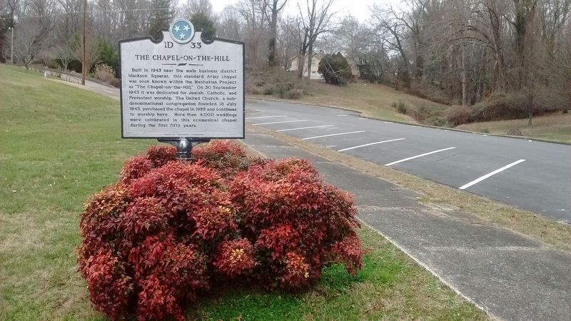
The Chapel-on-the-Hill Marker image. Click for full size.
Photographed By Tom Bosse, December 30, 2017
1. The Chapel-on-the-Hill Marker
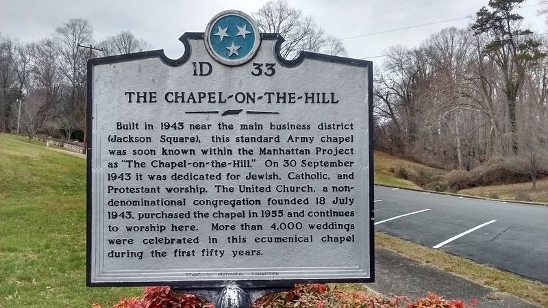
Inscription. Built in 1943 near the main business district (Jackson Square), this standard Army chapel was soon known with the Manhattan Project as "The Chapel-on-the-Hill". On 30 September 1943 it was dedicated for Jewish, Catholic, and Protestant worship. The United Church, a non-denominational congregation founded 18 July 1943, purchased the chapel in 1955 and continues to worship here. More than 4,000 weddings were celebrated in this ecumenical chapel during the first fifty years.
 
Erected by Tennessee Historical Commission. (Marker Number 1D 33.)
 
Topics and series. This historical marker is listed in these topic lists: Churches & ReligionWar, World II. In addition, it is included in the Tennessee Historical Commission series list. A significant historical date for this entry is July 18, 1943.
 
Location. 36° 1.778′ N, 84° 14.525′ W. Marker is in Oak Ridge, Tennessee, in Anderson County. Marker is on E. Madison Road, on the left when traveling north. Touch for map. Marker is in this post office area: Oak Ridge TN 37830, United States of America. Touch for directions.
 
Other nearby markers. At least 8 other markers are within 2 miles of this marker, measured as the crow flies. The Guest House (about 400 feet away, measured in a direct line); Historic Oak Ridge Playhouse (about 500 feet away); Castle on the Hill (approx. 0.3 miles away); Oak Ridge Schools
Paid Advertisement
Click on the ad for more information.
Please report objectionable advertising to the Editor.
Click or scan to see
this page online
(approx. 1.4 miles away); 1948 (approx. 1.4 miles away); 1942 (approx. 1.4 miles away); 1946 (approx. 1.4 miles away); Manhattan Engineer District – USAEC (approx. 1.4 miles away). Touch for a list and map of all markers in Oak Ridge.
 
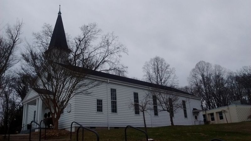
The Chapel-on-the-Hill Marker image. Click for full size.
Photographed By Tom Bosse, December 30, 2017
2. The Chapel-on-the-Hill Marker
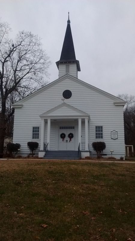
The Chapel-on-the-Hill Marker image. Click for full size.
Photographed By Tom Bosse, December 30, 2017
3. The Chapel-on-the-Hill Marker
The Chapel-on-the-Hill image. Click for full size.
Photographed By Tom Bosse, December 30, 2017
4. The Chapel-on-the-Hill
The Chapel-on-the-Hill image. Click for full size.
Photographed By Tom Bosse, December 30, 2017
5. The Chapel-on-the-Hill
 
 
Credits. This page was last revised on January 2, 2018. It was originally submitted on January 1, 2018, by Tom Bosse of Jefferson City, Tennessee. This page has been viewed 271 times since then and 18 times this year. Photos:   1, 2, 3, 4, 5. submitted on January 1, 2018, by Tom Bosse of Jefferson City, Tennessee. • Bill Pfingsten was the editor who published this page.
Share this page.  
Share on Tumblr
m=112102

CeraNet Cloud Computing sponsors the Historical Marker Database.
This website earns income from purchases you make after using our links to Amazon.com. We appreciate your support.
Paid Advertisement
Apr. 24, 2024