Ninety Six in Greenwood County, South Carolina — The American South (South Atlantic)
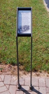
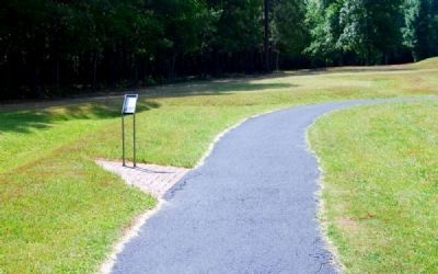
Approach Trench
June 2, 1781
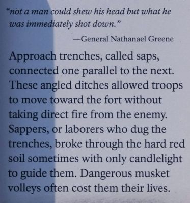
"Not a man could shew his head but what he was immediately shot down."
General Nathanael Green
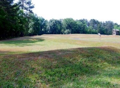
Approach trenches, called saps, connected one parallel to the next. These angled ditches allowed troops to move toward the fort without taking direct fire from the enemy. Sappers, or laborers who dug the tranches, broke through the hard red soil sometimes with only candlelight to guide them. Dangerous musket volleys often cost them their lives.
Erected 2009 by National Park Service.
Topics. This historical marker is listed in these topic lists: Forts and Castles • Man-Made Features • War, US Revolutionary.
Location. 34° 8.818′ N, 82° 1.107′ W. Marker is in Ninety Six, South Carolina, in Greenwood County. Marker can be reached from South Cambridge Street (State Highway 248). Marker is on the battlegrounds of Ninety Six Historic Park. Touch for map. Marker is in this post office area: Ninety Six SC 29666, United States of America. Touch for directions.
Other nearby markers. At least 8 other markers are within walking distance of this marker. Second Parallel (a few steps from this marker); Second Approach Trench (within shouting distance of this marker); The Artillery (within shouting distance of this marker); The Rifle Tower (within shouting distance of this marker); The British Fortifications (about 300 feet away, measured in a direct line); The Patriots Lay Siege to the Star Fort (about 300 feet away); Island Ford Road (about 300 feet away); Patriot Soldier (about 300 feet away). Touch for a list and map of all markers in Ninety Six.
More about this marker. The marker shown in Photo 1 is the current version of the marker.
Also see . . .
1. Ninety Six National Historic Site (U.S. National Park Service). Here settlers struggled against the harsh backcountry to survive, Cherokee Indians hunted and fought to keep their land, two towns and a trading post were formed and abandoned to the elements, and two Revolutionary War battles that claimed over 100 lives took place here. (Submitted on September 7, 2008, by Brian Scott of Anderson, South Carolina.)
2. Nathanael Greene. Nathanael Greene (August 7, 1742 – June 19, 1786) was a major general of the Continental Army in the American Revolutionary War. (Submitted on July 11, 2010, by Brian Scott of Anderson, South Carolina.)
Photographed By Brian Scott, September 5, 2008
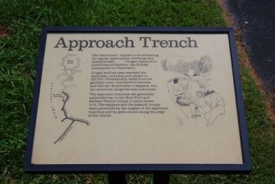
3. Original Approach Trench Marker
The Americans "appear to be advancing by regular approaches, working very industriously..." Cruger reported to Lord Francis Rawdon, the British commander in Charleston.
Cruger and his men watched the American tranches inch closer to the fort. Occasionally raids from the garrison were launched to harass and disrupt. Kosciuszko's sappers, but the American progress was relentless.
The approach trenches ran generally perpendicular to the Star Fort and allowed Patriot troops to move closer to it. The sappers and the assault troops were protected by the angles of the approach trenches and by gabions set along the edge of the trench.
Credits. This page was last revised on November 2, 2018. It was originally submitted on September 7, 2008, by Brian Scott of Anderson, South Carolina. This page has been viewed 986 times since then and 15 times this year. Last updated on October 30, 2018, by Bruce Guthrie of Silver Spring, Maryland. Photos: 1, 2. submitted on July 11, 2010, by Brian Scott of Anderson, South Carolina. 3. submitted on September 7, 2008, by Brian Scott of Anderson, South Carolina. 4, 5. submitted on July 11, 2010, by Brian Scott of Anderson, South Carolina. • Andrew Ruppenstein was the editor who published this page.
