Downtown in Garšabęr in Reykjavķkurborg, Höfušborgarsvęšiš, Iceland — North Atlantic and Artic Oceans (a Nordic Island)
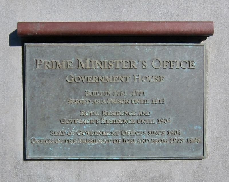
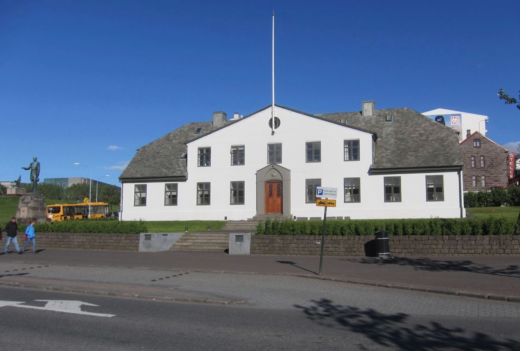
Forsętisrįšuneytiš / Prime Minister's Office
Prime Minister's Office
Government House
Built in 1761-1771
Served as a prison until 1813
Royal residence and
Governor's residence until 1904
Seat of government offices since 1904
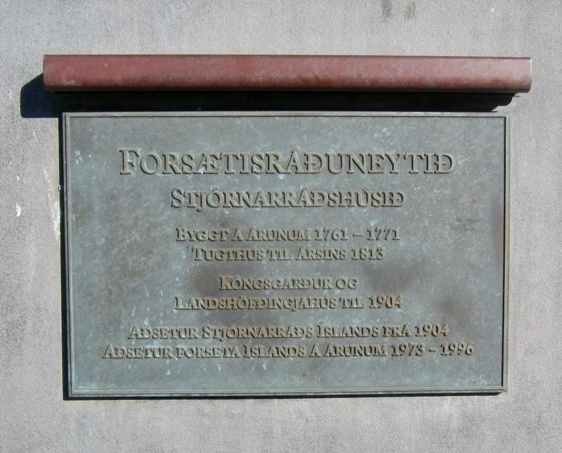
Byggt į įrunum 1761-1771
Kóngsgaršur og
Ašsetur Stjórnarrįšs Ķslands frį 1904
Office of the President of Iceland from 1973-1996
Stjórnarrįšshśsiš
Tugthśs til įrsins 1813
Landshöfšingjahśs til 1904
Ašsetur Forseta Ķslands į įrunum 1973-1996
Topics. This historical marker is listed in this topic list: Notable Buildings.
Location. 64° 8.843′ N, 21° 56.132′ W. Marker is in Garšabęr, Capital Region (Höfušborgarsvęšiš), in Reykjavķkurborg. It is in Downtown. Marker is at the intersection of Lękjargata and Bankastręti, on the right on Lękjargata. Touch for map. Marker is in this post office area: Garšabęr, Capital Region 101, Iceland. Touch for directions.
Other nearby markers. At least 8 other markers are within walking distance of this marker. Bernhöftshśs (within shouting distance of this marker); Bernhöftstorfan / Bernhöft's Sward (within shouting distance of this marker); Bakarķiš / Bakery (within shouting distance of this marker); Gimli (about 90 meters away, measured in a direct line); Hressingarskįlinn (about 90 meters away); Ingólfur Arnarson (about 90 meters away); Arnarhóll Arnarhólstrašir (about 120 meters away); Arnarhólstrašir / The Arnar Hill Path (about 120 meters away).
Also see . . . The Cabinet House (Nordica Adventure Travel). "The so-called Cabinet House (Stjornarrad) has carried a few names since it was built as a prison during the period 1765-70. The original idea was to accommodate vagabonds who were fit enough and able to work for the pioneer woolen industies of the country. The governor of Iceland at the time, Skuli Magnusson, was an ideologist, who wanted to create employment possibilities for the agricultural population of the country by building those factories....In 1904, Iceland was granted home rule by the Danish government. This announcement was read publicly on the steps of the Cabinet House and the official flag of the country was hoisted in front of it for the first time. Consequently the house was occupied by the three ministers of the
Icelandic government and got its present name." (Submitted on January 1, 2018.)
Credits. This page was last revised on January 1, 2018. It was originally submitted on January 1, 2018, by Andrew Ruppenstein of Lamorinda, California. This page has been viewed 257 times since then and 22 times this year. Photos: 1, 2, 3. submitted on January 1, 2018, by Andrew Ruppenstein of Lamorinda, California.


