Stevenson in Skamania County, Washington — The American West (Northwest)
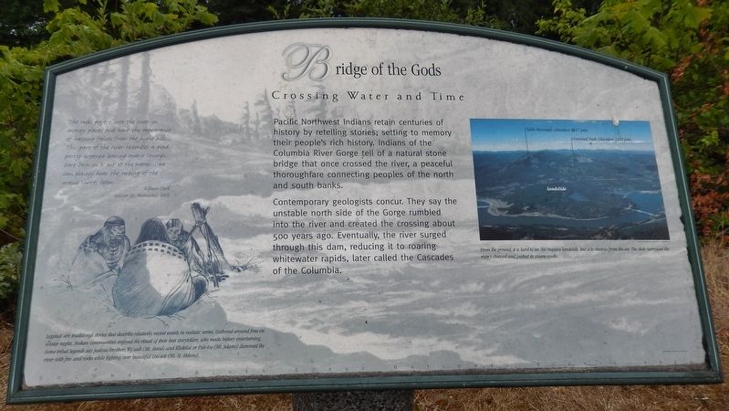
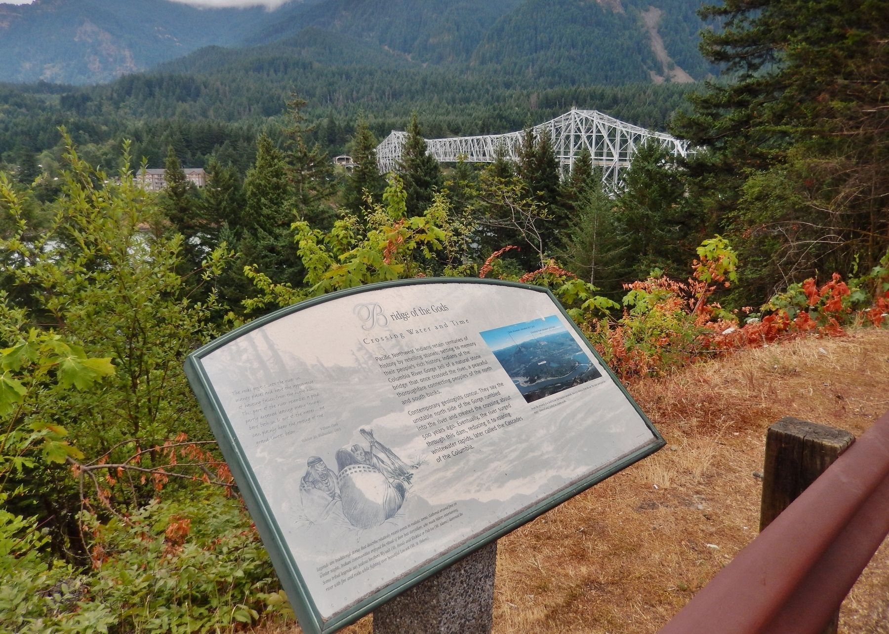
The Bridge of the Gods
Crossing Water and Time
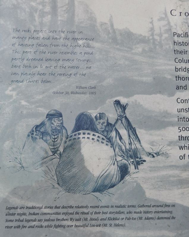
The rocks project into the river in many places and have the appearance of having fallen from the high hills… This part of the river resembles a pond partly drained leaving many stumps bare both in & out of the water… We can plainly hear the roaring of the grand shutes below…
William Clark
October 30, Wednesday, 1805
Pacific Northwest Indians retain centuries of history by retelling stories; setting to memory their people's rich history. Indians of the Columbia River Gorge tell of a natural stone bridge that once crossed the river, a peaceful thoroughfare connecting peoples of the north and south banks.
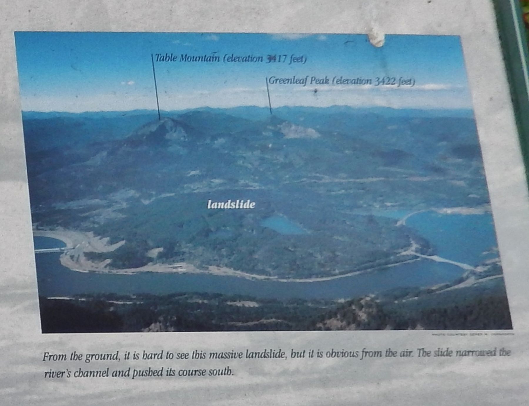
Contemporary geologists concur. They say the unstable north side of the Gorge rumbled into the river and created the crossing about 500 years ago. Eventually, the river surged through this dam, reducing it to roaring whitewater rapids, later called the Cascades of the Columbia.
From the ground, it is hard to see this massive landslide, but it is obvious from the air. The slide narrowed the river's channel and pushed its course south.
Legends are traditional stories that describe relatively recent events in realistic terms. Gathered around fires on winter nights, Indian communities enjoyed the ritual of their best storytellers, who made history entertaining. Some tribal legends say jealous brothers Wy’east (Mt. Hood) and Klickitat or Pab-toe (Mt. Adams) dammed the river with fire and rocks while fighting over beautiful Loo-wit (Mt St Helens).
Erected by Washington State Department of Transportation. (Marker Number 18.)
Topics and series. This historical marker is listed in these topic lists: Bridges & Viaducts • Exploration • Native Americans • Waterways & Vessels. In addition, it is included in the Lewis & Clark Expedition series list.
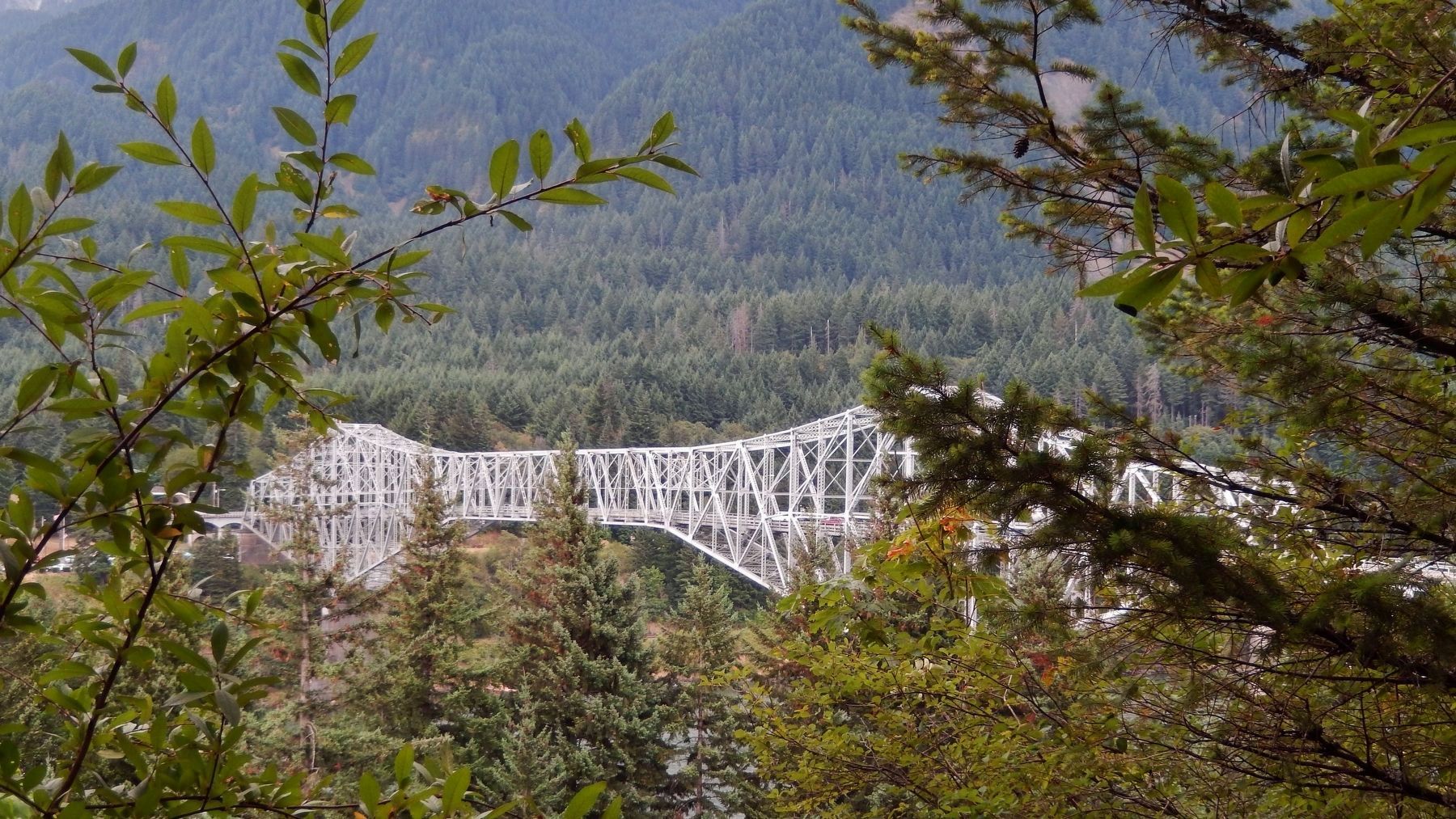
Location. 45° 39.856′ N, 121° 54.262′ W. Marker is in Stevenson, Washington, in Skamania County. Marker is on Evergreen Highway (Washington Route 14) north of Bridge of the Gods Road, on the right when traveling north. Marker is located in a pull-out on the south side of the highway, just north of the Bridge of the Gods, with an excellent view of the north side of the bridge from the marker. Touch for map. Marker is in this post office area: Stevenson WA 98648, United States of America. Touch for directions.
Other nearby markers. At least 8 other markers are within 3 miles of this marker, measured as the crow flies. A different marker also named The Bridge of the Gods (approx. 0.3 miles away in Oregon); Cascade Falls Portage (approx. half a mile away
in Oregon); the Oregon Pony (approx. half a mile away in Oregon); Lewis and Clark Trail (approx. 1˝ miles away); Gatekeepers of the Columbia (approx. 1˝ miles away); "The Great Shoote" (approx. 2.2 miles away); Steamboats Docked at Stevenson (approx. 2.2 miles away); Great Depression Threatens Bank (approx. 2.2 miles away). Touch for a list and map of all markers in Stevenson.
Related markers. Click here for a list of markers that are related to this marker.
Also see . . .
1. Bridge of the Gods.
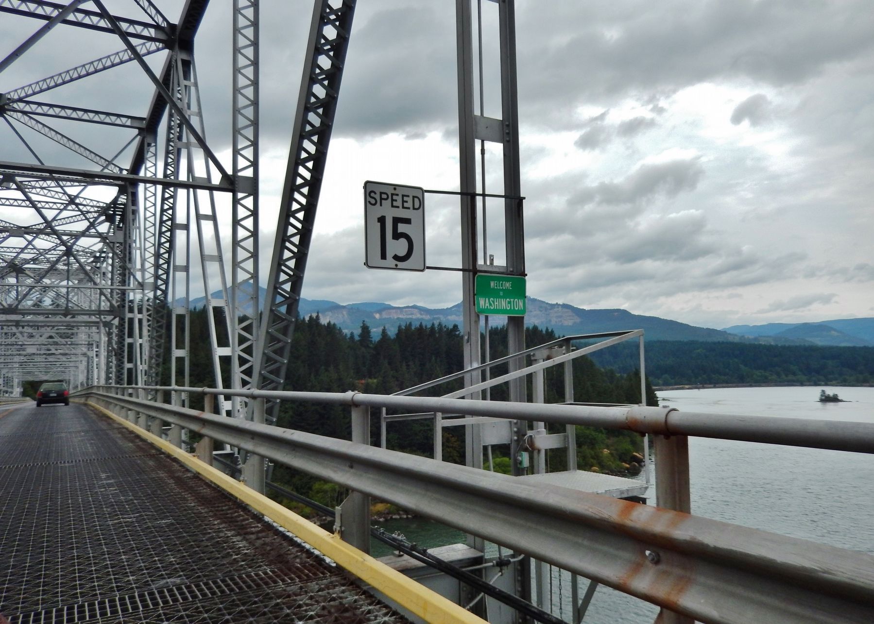
In 1926, the Bridge of the Gods spanning the Columbia River was completed. It crosses the river from a point near Stevenson in Skamania County, Washington, to Cascades Locks, Oregon. It is a steel cantilever, through-truss bridge and opens as a toll bridge. It will be raised during 1938-1940 in anticipation of rising water levels behind the Bonneville Dam. At this location there was once a natural stone bridge called by the indigenous peoples of the area the Bridge of the Gods. In about 1450 an immense landslide off Table Mountain blocked the Columbia. (Submitted on January 5, 2018, by Cosmos Mariner of Cape Canaveral, Florida.)
2. Bridge of the Gods (land bridge).
The Bridge of the Gods was a natural dam created by the Bonneville Slide, a major landslide that dammed the Columbia River near present-day Cascade Locks, Oregon in the Pacific Northwest of the United States. The river eventually breached the bridge and washed much of it away, but the event is remembered in local legends of the Native Americans as the Bridge of the Gods. The Bridge of the Gods is also the name of a modern manmade bridge, across the Columbia River between Oregon and Washington. (Submitted on January 5, 2018, by Cosmos Mariner of Cape Canaveral, Florida.)
Credits. This page was last revised on April 30, 2020. It was originally submitted on January 4, 2018, by Cosmos Mariner of Cape Canaveral, Florida. This page has been viewed 388 times since then and 24 times this year. Photos: 1. submitted on January 4, 2018, by Cosmos Mariner of Cape Canaveral, Florida. 2, 3, 4, 5, 6. submitted on January 5, 2018, by Cosmos Mariner of Cape Canaveral, Florida. • Bill Pfingsten was the editor who published this page.
