Columbus in Muscogee County, Georgia — The American South (South Atlantic)
The Fall Line
The Fall Line
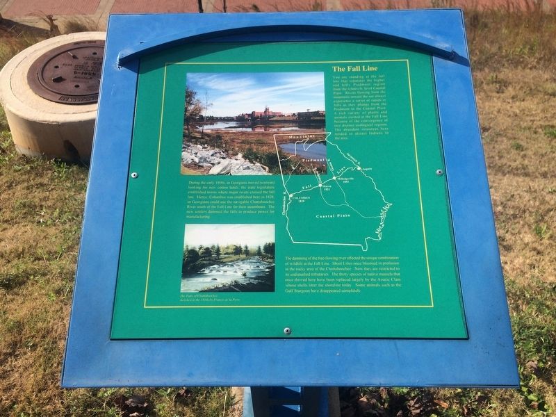
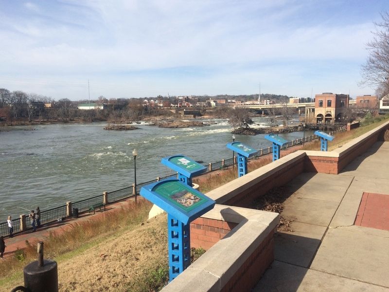
You are standing at the fall line that separates the higher and hilly Piedmont region from the relatively level Coastal Plain. Rivers flowing from the mountains toward the sea always experience a series of rapids or falls as they plunge from the Piedmont to the Coastal Plain. A rich variety of plants and animals existed at the Fall Line because of the convergence of two distinct ecological regions. The abundant resources here tended to attract Indians to the area.
During the 1800s, as Georgians moved westward looking for new cotton lands, the state legislature established towns where major rivers crossed the fall line. Hence, Columbus was established here in 1828, so Georgians could use the navigable Chattahoochee River south of the Fall Line for their steamboats. The new settlers dammed the falls to produce power for manufacturing.
The damming of the free-flowing river affected the unique combination of wildlife at the Fall Line. Shoal Lilies once bloomed in profusion in the rocky area of the Chattahoochee. Now they are restricted to its undisturbed tributaries. The thirty species of native mussels that once thrived here have been replaced largely by the Asiatic Clam whose shells litter the shoreline today. Some animals such as the Gulf Sturgeon have disappeared completely.
Caption: The Falls of Chattahoochee sketched in the 1830s by Francis de la Porte
Topics. This historical marker is listed in these topic lists: Industry & Commerce • Native Americans • Settlements & Settlers. A significant historical year for this entry is 1828.
Location. 32° 28.024′ N, 84° 59.763′ W. Marker is in Columbus, Georgia, in Muscogee County. Marker is on Bay Avenue north of 11 Street, on the right when traveling north. Touch for map. Marker is in this post office area: Columbus GA 31901, United States of America. Touch for directions.
Other nearby markers. At least 8 other markers are within walking distance of this marker. The Dam (1882) & Powerhouses (1899) (here, next to this marker); Cotton Warehouses (here, next to this marker); The Creek Indians and the Falls (here, next to this marker); The Ledger-Enquirer Newspapers (about 800 feet away, measured in a direct line); W. C. Bradley and Coca-Cola (approx. 0.2 miles away); City of Columbus (approx. 0.2 miles away); The Tie-Snake (approx. 0.2 miles away in Alabama); Nehi and Royal Crown Cola (approx. 0.2 miles away). Touch for a list and map of all markers in Columbus.
Credits. This page was last revised on January 4, 2018. It was originally submitted on January 4, 2018, by J. Makali Bruton of Accra, Ghana. This page has been viewed 273 times since then and 18 times this year. Photos: 1, 2. submitted on January 4, 2018, by J. Makali Bruton of Accra, Ghana.

