Near Spotsylvania Courthouse in Spotsylvania County, Virginia — The American South (Mid-Atlantic)
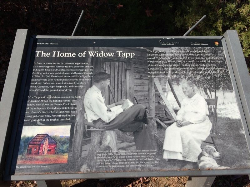
The Home of Widow Tapp
The Battle of the Wilderness
— Fredericksburg and Spotsylvania National Military Park —
In front of you is the site of Catherine Tapp's house, a 1.5-story log cabin surrounded by a corn crib, orchard, and stable. Union and Confederate forces swept past the dwelling, and at one point a Union shell passed through it. When Lt. Col. Theodore Lyman visited the Tapp farm area two years later, he found trees scarred by as many as a dozen bullets and some cut in two by artillery shells. Canteens, cups, knapsacks, and cartridge boxes littered the ground around you.
Mrs. Tapp and her children survived the battle unharmed. When the fighting started, they headed west down the Orange Plank Road, taking refuge at a Confederate field hospital near Parker's Store. Phenie Tapp, who was a young girl at the time, remembered bullets kicking up dirt in the road as they fled.
"The Tapp family...is still extant, an old woman and three daughters, all in a miserable log cabin, with a grand daughter named 'Tripheney Bermudey Tapp!' From these poor folks I got lots of information, of how A.P. Hill was utterly routed on the morning of the 6th, and 'we see his men runnin' up the road,' and how Longstreet's Corps passed the rebel hospital (where they had taken refuge) at the double quick, and Longstreet himself rode past, in hot haste, to restore the fight." Theodore Lyman, 1866
Captions:
The Tapp house just after the war.
A National Park Service historian interviews Eliza Frances "Phenie" Tapp in the 1930s. Phenie was just four when the battle happened. She remembered "a lot of men in blue" and the sound of battle "like a big storm." "[We] hurried westward on the Plank Road to the rear and safety...Large drops hit the road and dust spurted up [like] it does when the first raindrops fall, before the ground gets wet."
Erected by National Park Service, U.S. Department of the Interior.
Topics. This historical marker is listed in these topic lists: War, US Civil • Women.
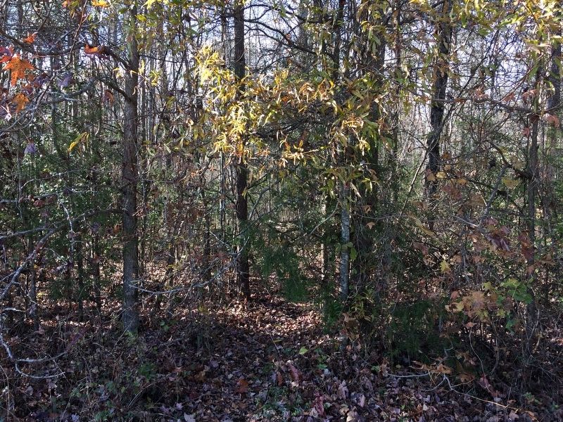
Location. 38° 17.502′ N, 77° 43.572′ W. Marker is near Spotsylvania Courthouse, Virginia, in Spotsylvania County. Marker can be reached from Orange Plank Road (County Route 621) half a mile west of Hill-Ewell Drive, on the right when traveling west. Marker is located along the ˝-mile Tapp Field Walking Trail - located at Stop 6 on the Wilderness Battlefield Auto Tour Route. Touch for map. Marker is in this post office area: Spotsylvania VA 22551, United States of America. Touch for directions.
Other nearby markers. At least 8 other markers are within walking distance of this marker. The Widow Tapp House (here, next to this marker); Brink of Victory (about 500 feet away, measured in a direct line); In The Nick of Time
(about 600 feet away); Lee-to-the-Rear (about 600 feet away); In the Nick of Time (about 600 feet away); Lee to the Rear! (approx. 0.2 miles away); Texas (approx. 0.2 miles away); Lee to the rear! (approx. 0.2 miles away).
More about this marker. This marker replaces an older marker at this location titled, "The Widow Tapp House"
Also see . . .
1. Old Marker at this Location. This marker replaced an older one at this location titled “The Widow Tapp House” (Submitted on January 8, 2018.)
2. Fredericksburg & Spotsylvania National Military Park. National Park Service (Submitted on January 8, 2018.)
Credits. This page was last revised on July 9, 2021. It was originally submitted on January 5, 2018, by Shane Oliver of Richmond, Virginia. This page has been viewed 492 times since then and 25 times this year. Photos: 1, 2. submitted on January 5, 2018, by Shane Oliver of Richmond, Virginia. • Bernard Fisher was the editor who published this page.

