Wald um Rimbach / The Woods around Rimbach
Denkmal Route Volkach am Main - Mainschleife
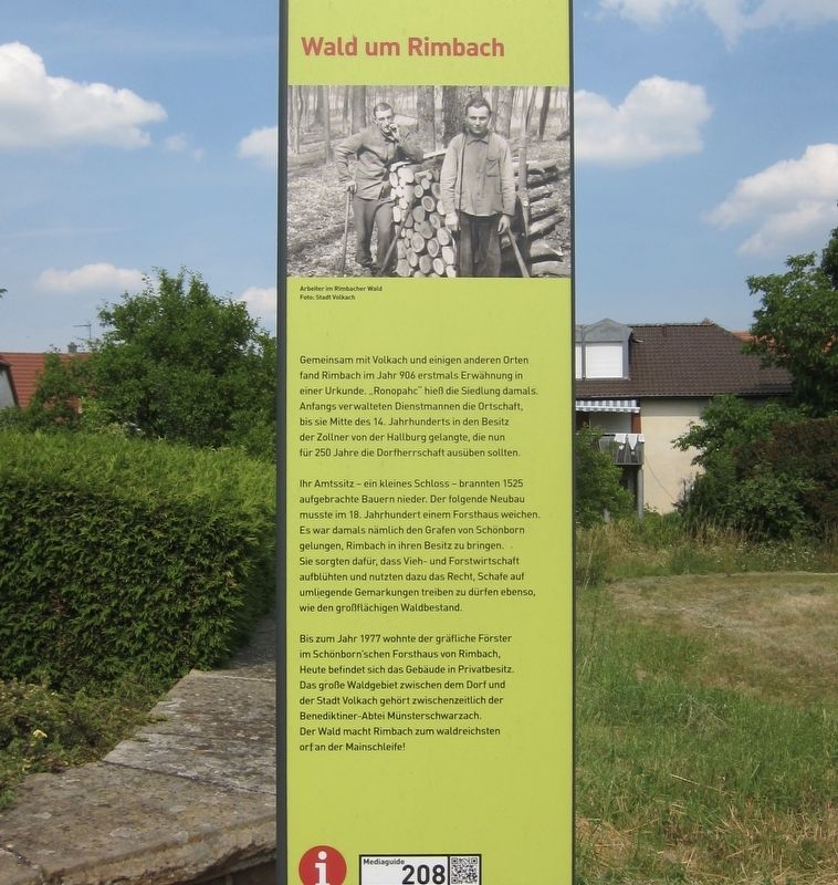
Ihr Amtssitz - ein kleines Schloss - brannten 1525 aufgebrachte Bauern nieder. Der folgende Neubau musste im 18. Jahrhundert einem Forsthaus weichen. Es war damals nämlich den Grafen von Schönborn gelungen, Rimbach in ihren Besitz zu bringen. Sie sorgten dafür, dass Vieh- und Forstwirtschaft aufblühten und nutzten dazu das Recht, Schafe auf umliegende Gemarkungen treiben zu dürfen ebenso, wie den großflächigen Waldbestand.
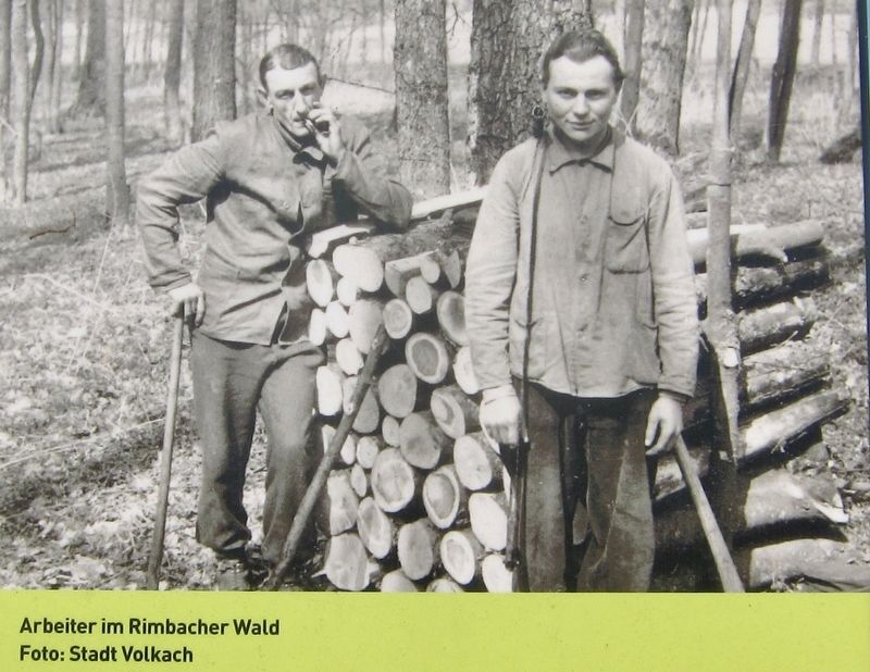
Bis zum Jahr 1977 wohnte der gräfliche Förster im Schönborn'schen Forsthaus von Rimbach, Heute befindet sich das Gebäude in Privatbesitz. Das große Waldgebiet zwischen dem Dorf und der Stadt Volkach gehört zwischenzeitlich der Benediktiner-Abtei Münsterschwarzach. Der Wald macht Rimbach zum waldreichsten orf an der Mainschleife!
Their official residence - a small chateau - was burnt down in 1525 by angry peasants. The following new building then gave way to a forester's lodge in the 18th century. By that time, the Count von Schönborn had taken possession of Rimbach. Under the Schönborns, animal husbandry and forestry flourished, and they made use of sheep grazing rights in surrounding areas, as well as large-scale horticulture.
Until 1977, the Count's forester lived in the Schönborn forest house of Rimbach, but today the building is privately owned. The large forested area between the village and the town of Volkach belongs in the meantime to the Benedictine abbey in Münsterschwarzach. The forest makes Rimbach the most wooded place on the Mainschleife! (The "Mainschleife" is a large oxbow or loop on the Main River, noted for its wines and scenery.) (Marker Number 208.)
The first mention of Rimbach, together with Volkach and some other places, is found in a document dating back to 906.... Ronopahc, as the settlement was called at that time. Initially, the village was managed by functionaries until the mid-14th century, when it came into the hands of the tax collectors of the von der Hallburgs, who were then to rule over the village for 250 years.
Topics. This historical marker is listed in these topic lists: Horticulture & Forestry
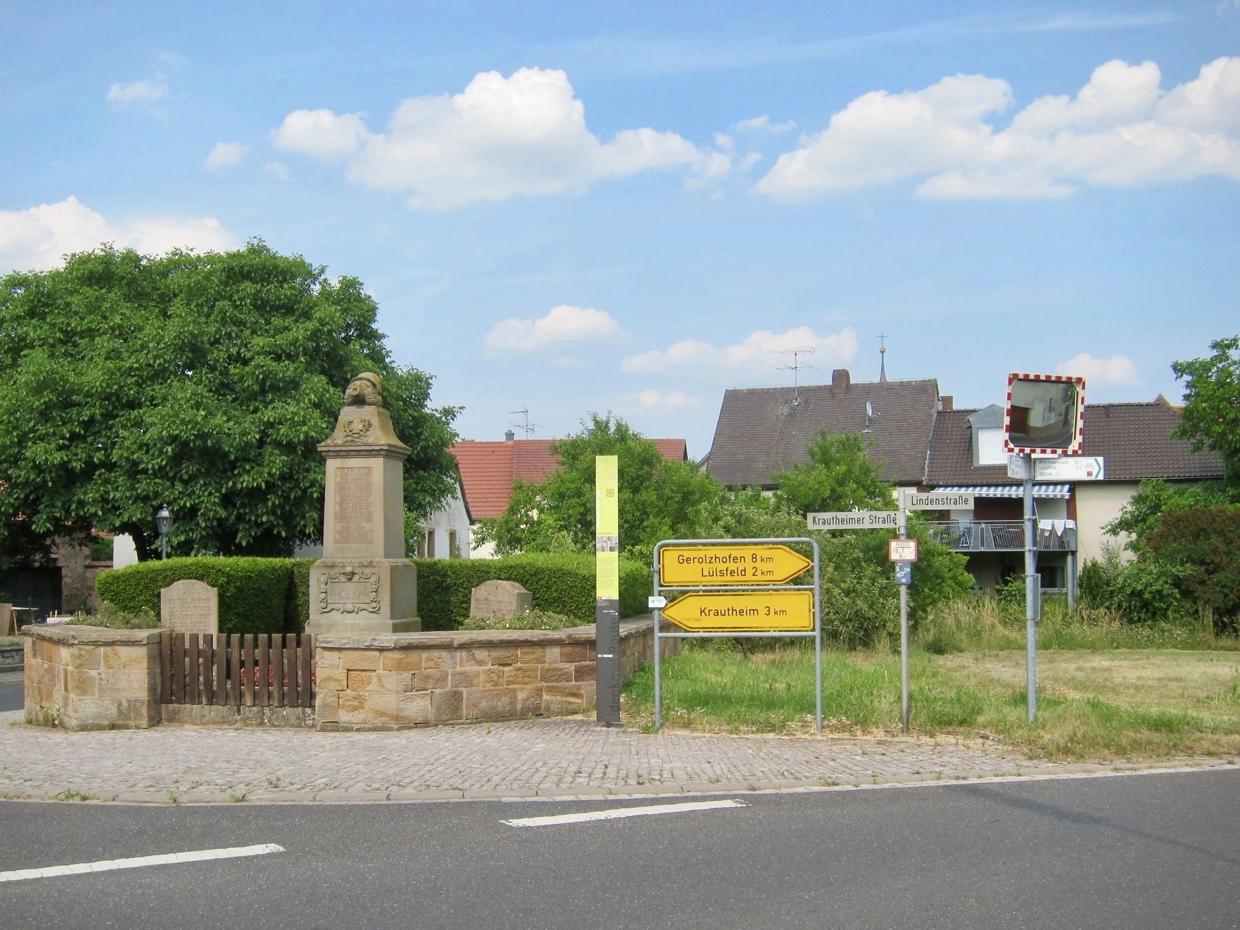
Location. 49° 51.876′ N, 10° 17.5′ E. Marker is in Rimbach, Bayern (Bavaria), in Kitzingen. Marker is at the intersection of Lindenstrasse and Krautheimerstrasse on Lindenstrasse. Touch for map. Marker is in this post office area: Rimbach BY 97332, Germany. Touch for directions.
Other nearby markers. At least 8 other markers are within 5 kilometers of this marker, measured as the crow flies. Obervolkach und der Fischerei / Obervolkach and the Fish Ponds (approx. 2.7 kilometers away); Ehemalige Gendarmeriestation / Former Police Station (approx. 4.1 kilometers away); Gemeindebäckerei / Community Bake-House (approx. 4.1 kilometers away); Das Schloss / The Chateau (approx. 4.1 kilometers away); Stone Bridge (approx. 4.1 kilometers away); Ehem. Dorfbrauerei / Former Village Brewery (approx. 4.1 kilometers away); Storchenbrünnlein / Little Stork Spring (approx. 4.1 kilometers away); Gerberhaueser / Tanners Houses (approx. 4.1 kilometers away).
Also see . . . Wald um Rimbach (TouristInformation Volkacher Mainschleife, 2.5 mins., in German). (Submitted on January 7, 2018.)
Credits. This page was last revised on January 28, 2022. It was originally submitted on January 7, 2018, by Andrew Ruppenstein of Lamorinda, California. This page has been viewed 165 times since then and 6 times this year. Photos: 1, 2, 3. submitted on January 7, 2018, by Andrew Ruppenstein of Lamorinda, California.


