Near Newport in Lincoln County, Oregon — The American West (Northwest)
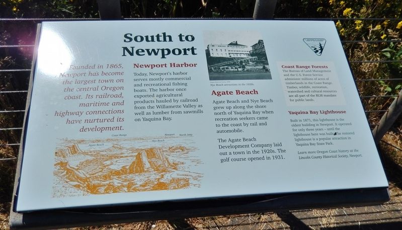
South to Newport
Founded in 1865, Newport has become the largest town on the central Oregon coast. Its railroad, maritime and highway connections have nurtured its development.
Newport Harbor
Today, Newport's harbor serves mostly commercial and recreational fishing boats. The harbor once exported agricultural products hauled by railroad from the Willamette Valley as well as lumber from sawmills on Yaquina Bay.
Agate Beach
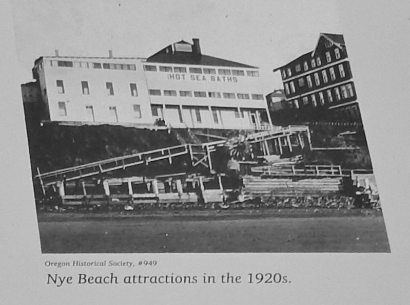
Agate Beach and Nye Beach grew up along the shore north of Yaquina Bay when recreation seekers came to the coast by rail and automobile.
The Agate Beach Development Company laid out a town in the 1920s. The golf course opened in 1931.
Coast Range Forests
The bureau of Land Management and the U.S. Forest Service administer millions of acres of timberlands in the Coast Range. Timber, wildlife, recreation, watershed and cultural resources are all part of the BIM mandate for public lands.
Yaquina Bay Lighthouse
Built in 1871, this lighthouse is the oldest building in Newport. It operated for only three years – until the lighthouse here was built. The restored lighthouse is a popular attraction in Yaquina Bay State Park.
Learn more Oregon Coast history at the Lincoln County Historical Society, Newport
Erected by U.S. Department of the Interior - Bureau of Land Management.
Topics and series. This historical marker is listed in these topic lists: Industry & Commerce • Notable Places • Railroads & Streetcars • Waterways & Vessels. In addition, it is included in the Lighthouses series list.
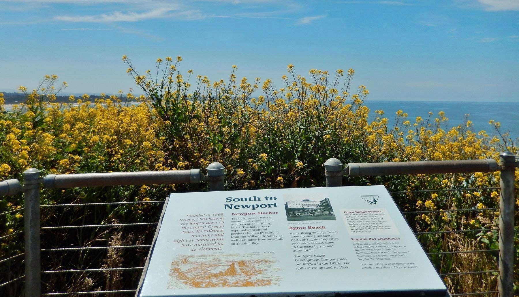
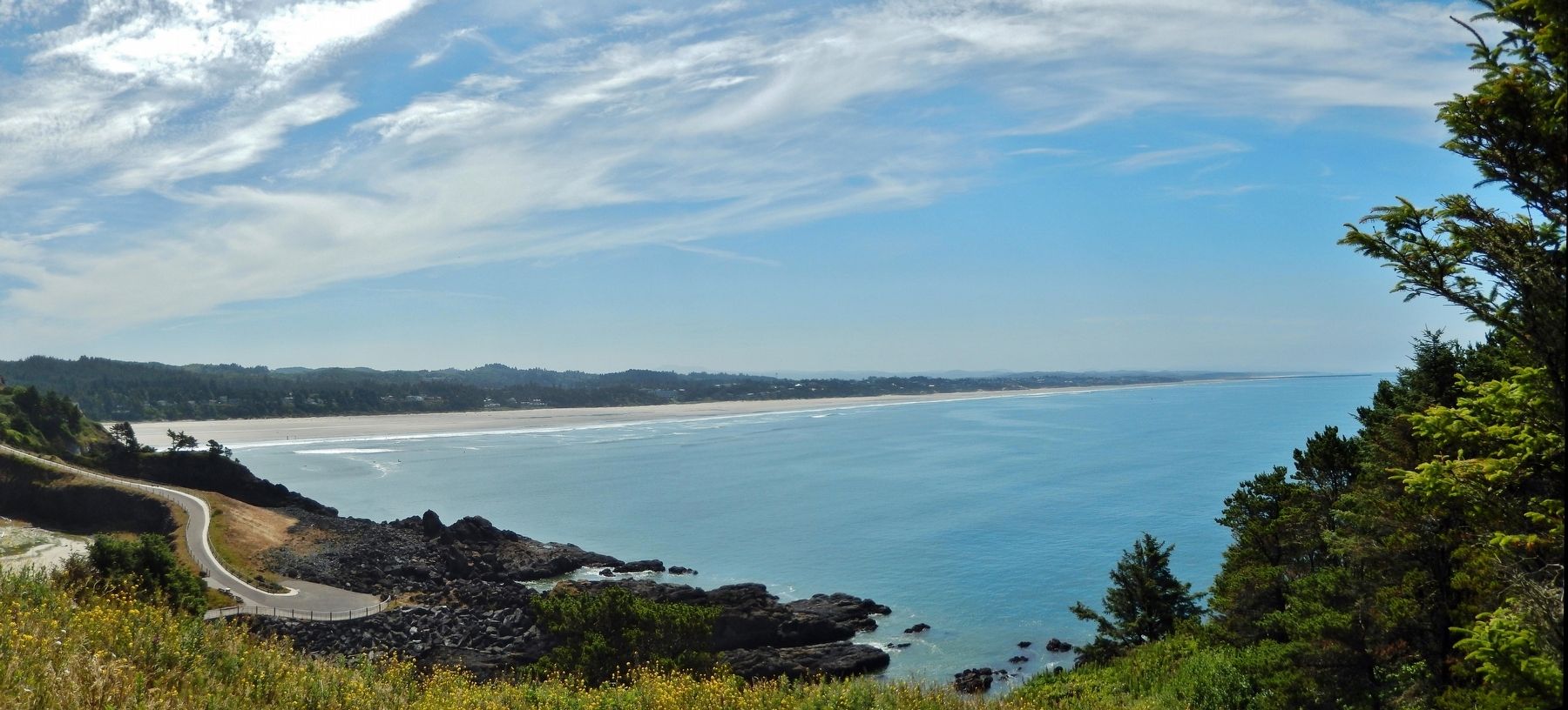
Location. This marker has been replaced by another marker nearby. 44° 40.596′ N, 124° 4.752′ W. Marker is near Newport, Oregon, in Lincoln County. Marker can be reached from Northwest Lighthouse Drive west of Oregon Coast Highway (U.S. 101). Marker is located near the Yaquina Head Lighthouse, at the end of NW Lighthouse Drive, within the Yaquina Head Outstanding Natural Area, about 4 miles north of Newport, Oregon. View from marker looks south along the beach toward Newport. Touch for map. Marker is in this post office area: Newport OR 97365, United States of America. Touch for directions.
Other nearby markers. At least 8 other markers are within 4 miles of this location, measured as the crow flies. A String of Lights (here, next to this marker); A Family Affair (within shouting distance of this marker); A Keeper's Work Was Never Done (within shouting distance of this marker); It's a Long Way Up (within shouting distance of this marker); The Changing Light Station Community: (within shouting distance of this marker); Lighthouse Life in the Western Wilderness (within shouting distance of this marker); Built to Last: Dedication to Quality (within shouting distance of this marker); Newport, Oregon (approx. 3.2 miles away). Touch for a list and map of all markers in Newport.
Also see . . . Newport. (includes pictures of the Yaquina Bay Lighthouse)
As early as 1856, Yaquina Bay was visited by the sailing vessel Calumet, laden with supplies for Lieutenant Phil Sheridan and the nearby military garrison. When the Yaquina Bay oyster beds were discovered in 1862, great profits were made by exporting the delicacy to San Francisco and elsewhere. Settlers from the East Coast began homesteading in the Yaquina Bay area in 1864. (Submitted on January 8, 2018, by Cosmos Mariner of Cape Canaveral, Florida.)
Credits. This page was last revised on July 13, 2021. It was originally submitted on January 8, 2018, by Cosmos Mariner of Cape Canaveral, Florida. This page has been viewed 205 times since then and 10 times this year. Photos: 1, 2, 3, 4. submitted on January 8, 2018, by Cosmos Mariner of Cape Canaveral, Florida. • Bill Pfingsten was the editor who published this page.


