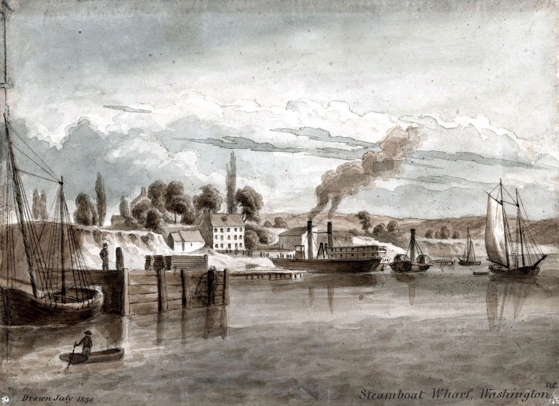
Southwest Waterfront in Southwest Washington in Washington, District of Columbia — The American Northeast (Mid-Atlantic)
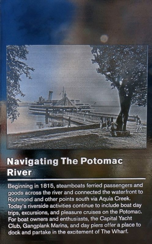
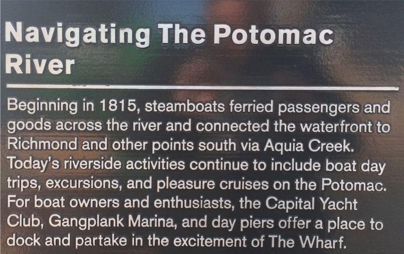
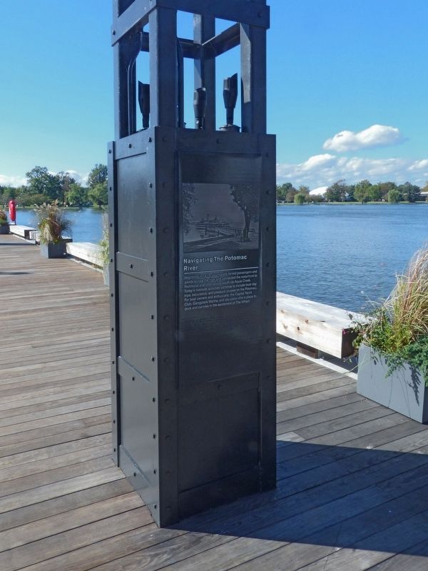
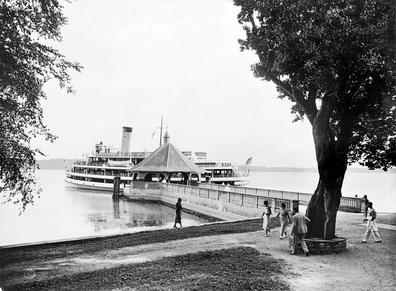
Navigating the Potomac River
Erected by Hoffman Madison Waterfront LLC.
Topics. This historical marker is listed in these topic lists: Industry & Commerce • Parks & Recreational Areas • Waterways & Vessels. A significant historical year for this entry is 1815.
Location. 38° 52.762′ N, 77° 1.571′ W. Marker is in Southwest Washington in Washington, District of Columbia. It is in Southwest Waterfront. Marker can be reached from District Square Southwest west of Wharf Street Southwest, on the right when traveling west. On the District Pier in Southwest Washington. Touch for map. Marker is at or near this postal address: 890 Water Street Southwest, Washington DC 20024, United States of America. Touch for directions.
Other nearby markers. At least 8 other markers are within walking distance of this marker. Creating the Waterfront (a few steps from this marker); Waterfront Industry and Commerce (a few steps from this marker); African-American History in Southwest (a few steps from this marker); Urban Renewal (a few steps from this marker); Long Bridge (within shouting distance of this marker); Houseboats on the Waterfront (within shouting distance of this marker); America's Oldest Operating Fish Market (within shouting distance of this marker); Underground Railroad and Waterway (within shouting distance of this marker). Touch for a list and map of all markers in Southwest Washington.
Credits. This page was last revised on January 7, 2024. It was originally submitted on October 29, 2017, by Allen C. Browne of Silver Spring, Maryland. This page has been viewed 264 times since then and 20 times this year. Last updated on January 9, 2018, by Devry Becker Jones of Washington, District of Columbia. Photos: 1. submitted on October 29, 2017, by Allen C. Browne of Silver Spring, Maryland. 2. submitted on January 9, 2018, by Devry Becker Jones of Washington, District of Columbia. 3, 4, 5. submitted on October 29, 2017, by Allen C. Browne of Silver Spring, Maryland. • Bill Pfingsten was the editor who published this page.
