The Fire / Le Feu
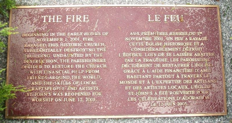
Beginning in the early hours of November 1, 2001, fire ravaged this historic church, substantially destroying the building. Undaunted by the destruction, the parishioners decided to restore the church. With financial help from friends around the world, and the skills of local craftspeople and artists, St. John's was reopened for worship on June 12, 2005.
Erected by St. John's Anglican Church.
Topics. This historical marker is listed in these topic lists: Architecture • Churches & Religion • Disasters • Man-Made Features. A significant historical date for this entry is June 12, 2005.
Location. 44° 22.687′ N,
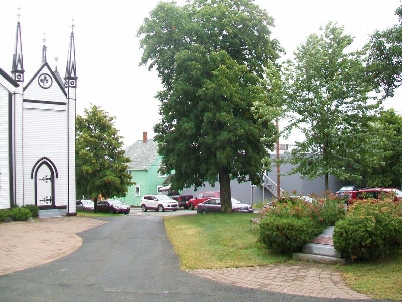
64° 18.692′ W. Marker is in Lunenburg, Nova Scotia, in Lunenburg County. Marker is on the St. John's Anglican Church grounds. Touch for map. Marker is at or near this postal address: 64 Townsend Street, Lunenburg NS B0J 2C0, Canada. Touch for directions.
Other nearby markers. At least 8 other markers are within walking distance of this marker. The Jessen Bell / La Cloche Jessen (a few steps from this marker); St. John's Anglican Church / Église Anglicane St. John (a few steps from this marker); 1753 Open-Air Protestant Interfaith Church Services (a few steps from this marker); St. John's Anglican Church / L'église anglicane St. John's (within shouting distance of this marker); Koch-Solomon House (within shouting distance of this marker); St. John's Parish Hall (within shouting distance of this marker); Finck-Holder House (within shouting distance of this marker); Lennox Tavern (about 90 meters away, measured in a direct line). Touch for a list and map of all markers in Lunenburg.
Also see . . . St. John's Anglican Church. (Submitted on January 9, 2018, by William Fischer, Jr. of Scranton, Pennsylvania.)
Credits. This page was last revised on August 9, 2020. It was originally submitted on January 9, 2018, by William Fischer, Jr. of Scranton, Pennsylvania. This page has been viewed 165 times since then and 6 times this year. Photos: 1, 2. submitted on January 9, 2018, by William Fischer, Jr. of Scranton, Pennsylvania.

