Rogue River in Jackson County, Oregon — The American West (Northwest)
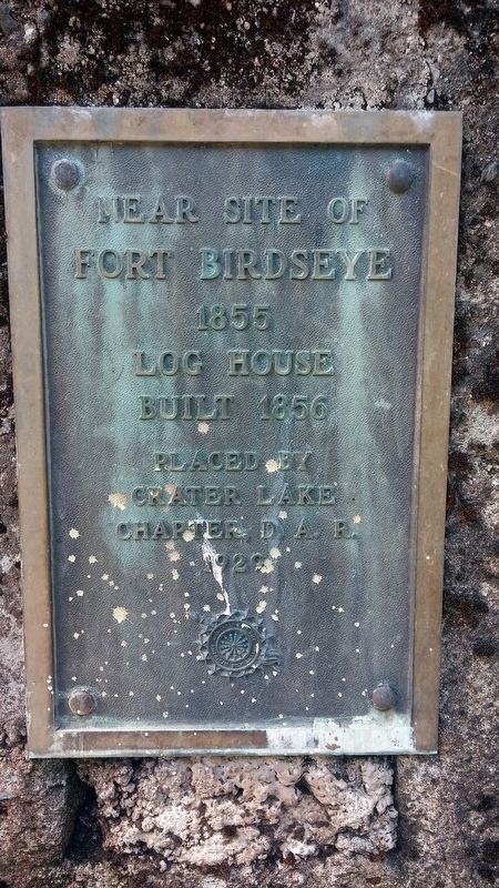
Fort Birdseye
Fort Birdseye
1855
Log House
Built 1856
Erected 1929 by Crater Lake Chapter, Daughters of the American Revolution.
Topics and series. This historical marker is listed in these topic lists: Forts and Castles • Settlements & Settlers • Wars, US Indian. In addition, it is included in the Daughters of the American Revolution series list. A significant historical year for this entry is 1855.
Location. 42° 24.424′ N, 123° 9.033′ W. Marker is in Rogue River, Oregon, in Jackson County. Marker is on Rogue River Hwy (U.S. 99). Touch for map. Marker is in this post office area: Gold Hill OR 97525, United States of America. Touch for directions.
Other nearby markers. At least 8 other markers are within 4 miles of this marker, measured as the crow flies. Applegate Trail - Fort Birdseye (here, next to this marker); Valley of the Rogue Applegate Trail Kiosk (approx. 1.2 miles away); The City of Rogue River (approx. 2 miles away); Rising above the Rogue (approx. 2 miles away); A Bridge for a New Century (approx. 2 miles away); Crossing the Rogue (approx. 2 miles away); Evan's Ferry (approx. 2 miles away); Rock Point, Oregon (approx. 3˝ miles away). Touch for a list and map of all markers in Rogue River.
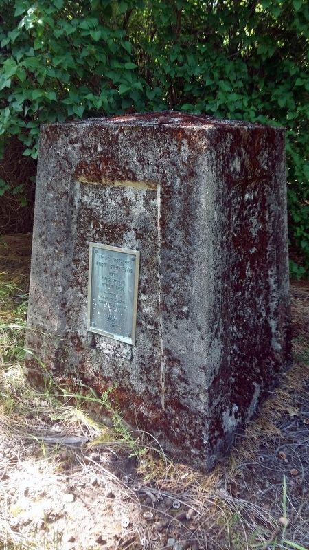
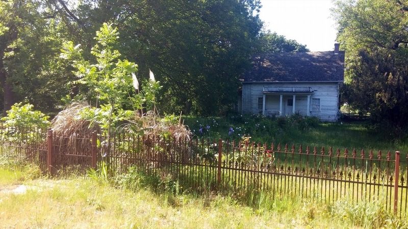
More about this marker. This marker is behind a fence and in a front yard belonging to Del Rio Vineyards which now owns the property.
Regarding Fort Birdseye. Fort (David) Birdseye
Built in Jackson County by settlers during the Rogue River Indian Uprising of 1855 - 1856, it was a settlers' stockaded square-hewn timber house located on the south bank of the Rogue River near the mouth of Birdseye Creek. The D.A.R. erected a monument here in 1929. The original Birdseye Cabin was restored in the 1980's, but burned down in November 1990.
-via North American Forts
Credits. This page was last revised on April 23, 2024. It was originally submitted on January 10, 2018, by Douglass Halvorsen of Klamath Falls, Oregon. This page has been viewed 240 times since then and 31 times this year. Photos: 1, 2, 3. submitted on January 10, 2018, by Douglass Halvorsen of Klamath Falls, Oregon. • Bill Pfingsten was the editor who published this page.


