Chiloquin in Klamath County, Oregon — The American West (Northwest)
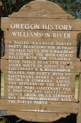
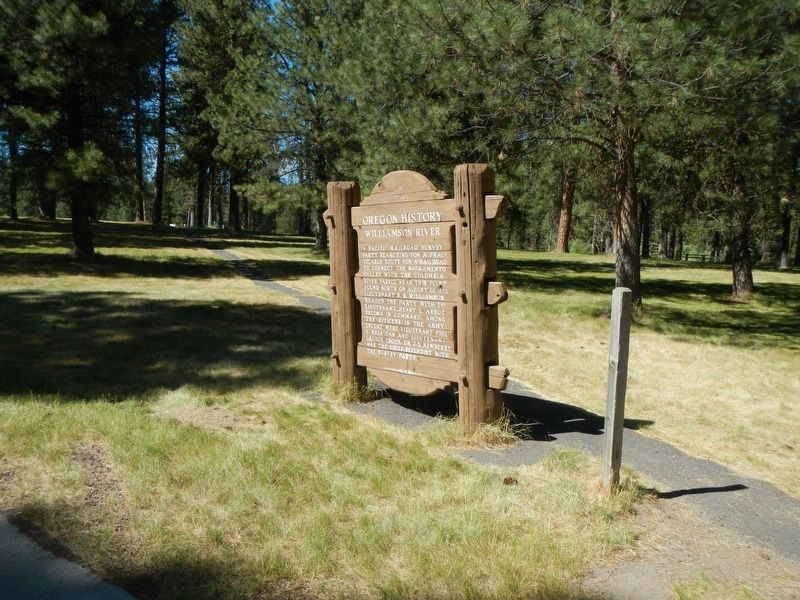
Williamson River
Erected by Oregon Department of Transportation.
Topics and series. This historical marker is listed in this topic list: Exploration. In addition, it is included in the Oregon Beaver Boards series list. A significant historical date for this entry is August 10, 1855.
Location. 42° 38.52′ N, 121° 52.788′ W. Marker is in Chiloquin, Oregon, in Klamath County. Marker can be reached from the intersection of U.S. 97 and Glendale Street, on the left when traveling south. Touch for map. Marker is at or near this postal address: 46000 US Highway 97, Crater Lake OR 97604, United States of America. Touch for directions.
Other nearby markers. At least 8 other markers are within 7 miles of this marker, measured as the crow flies. Stout Abner (about 500 feet away, measured in a direct line); Collier Memorial Logging Museum (about 500 feet away); Klamath Fish Hatchery (approx. 3˝ miles away); The Klamath Tribes (approx. 4.7 miles away); The First Sawmill (approx. 5.9 miles away); Ft. Klamath Frontier Post (approx. 5.9 miles away); Site of Fort Klamath (approx. 5.9 miles away); Fort Klamath Military Cemetery Memorial (approx. 6.2 miles away). Touch for a list and map of all markers in Chiloquin.
More about this marker. The marker is located in the Collier State Park Rest Area.
Also see . . .
1. Pacific Railroad Surveys -- Wikipedia. The Pacific Railroad Surveys (1853–1855) consisted of ...(five)... explorations of the American West to find possible routes for a transcontinental railroad across North America. The expeditions included surveyors, scientists, and artists and resulted in an immense body of data ... on the American West. "These volumes... constitute probably the most important single contemporary source of knowledge on Western geography and history and their value is greatly enhanced by the inclusion of many beautiful plates in color of scenery, native inhabitants, fauna and flora of the Western country." Published by the United States War Department from 1855 to 1860, the surveys contained significant material on natural history, including many illustrations of reptiles, amphibians, birds, and mammals. In addition to describing the route, these surveys also reported on the geology, zoology, botany, paleontology of the land as well as provided ethnographic descriptions of the Native peoples encountered during the surveys.
... The fifth survey was along the Pacific coast from San Diego to Seattle, Washington conducted by Lt. Robert S. Williamson and (Lt. John) Parke. (Submitted on January 11, 2018, by Barry Swackhamer of Brentwood, California.)
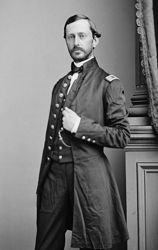
2. Robert S. Williamson -- Wikipedia. Robert Stockton Williamson (January 21, 1825 – November 10, 1882) was an American soldier and engineer, noted for conducting surveys for the transcontinental railroad in California and Oregon. Inducted into the Army Corps of Engineers in 1861, he had a distinguished record serving in the American Civil War... (Submitted on January 11, 2018, by Barry Swackhamer of Brentwood, California.)
Credits. This page was last revised on February 11, 2018. It was originally submitted on January 11, 2018, by Barry Swackhamer of Brentwood, California. This page has been viewed 230 times since then and 12 times this year. Photos: 1, 2, 3. submitted on January 11, 2018, by Barry Swackhamer of Brentwood, California.
Editor’s want-list for this marker. Nice view of the Williamson River. • Can you help?


