Cahaba in Dallas County, Alabama — The American South (East South Central)
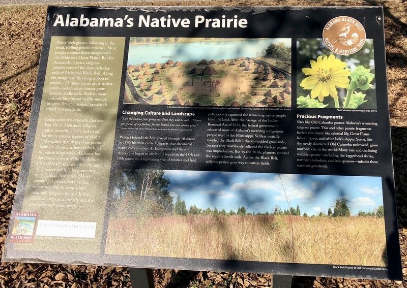
Alabama's Native Prairie
Today, scientists estimate that less than 1% of Alabama's tallgrass prairie remains. That's bad news for the countless species of plants and wildlife that depend on prairie—habitat from northern bobwhites to prairie kingsnakes. Alabama has developed a State Wildlife Action Plan (SWAP) that details a strategy to conserve wildlife by protecting their habitat. Alabama's SWAP encourages prescribed burning as one key way to restore and maintain tallgrass prairie. It lists Old Cahawba as a priority site for prairie conservation work.
Changing Culture and Landscape
"I see the Indian fires going out. Soon they will be cold.... I leave the graves of my fathers, for the Indian fires are almost gone."
-Yoholo-Micco Chief of Eufaula Town, speaking to the Alabama Legislature, 1836
When Herando de Soto passed through Alabama in 1540, his men carried diseases that decimated native communities. As Europeans and then Americans began to settle this region in the 18th and 19th centuries, a tightening vise of treaties and land policy slowly squeezed the remaining native people from the land. After the passage of the Indian Removal Act of 1830, the federal government relocated most of Alabama's surviving indigenous people west of the Mississippi. Settlers initially avoided the Black Belt's thickly-sodded grasslands, because they mistakenly believed the treeless prairie was unproductive. But by the 1830s, planters coveted the region's fertile soils. Across the Black Belt, tallgrass prairie gave way to cotton fields.
Precious Fragments
Sites like Old Cahawba protect Alabama's remaining tallgrass prairie. This and other prairie fragments harbor rare plants like celestial lily, Great Plains ladies'-tresses, and white lady's slipper. Some, like the newly discovered Old Cahawba rosinweed, grow nowhere else in the world. Many rare and declining wildlife species—including the loggerhead shrike, northern bobwhite, and lark sparrow—inhabit these remnant grasslands.
Erected 2013 by the Alabama Black Belt Nature & Heritage Trail.
Topics. This historical marker is listed in these topic lists: Agriculture • Environment • Exploration • Native Americans. A significant historical year for this entry is 1836.
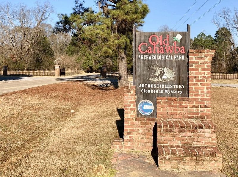
Location. Marker has been permanently removed. It was located near 32° 19.185′ N, 87° 6.274′ W. Marker was in Cahaba, Alabama, in Dallas County. Marker was at the intersection of Capitol Street and Cahaba Road, on the right when traveling east on Capitol Street. Located within the Old Cahawba Archaeological Park. Touch for map. Marker was in this post office area: Orrville AL 36767, United States of America.
We have been informed that this sign or monument is no longer there and will not be replaced. This page is an archival view of what was.
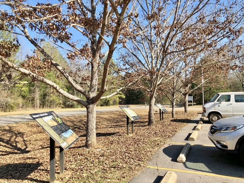
Other nearby markers. At least 8 other markers are within walking distance of this location. Cahawba’s Current Residents (here, next to this marker); Cahawba's Changing Landscape (a few steps from this marker); Black Belt Transformations (a few steps from this marker); Who Lived Here? (approx. 0.3 miles away); Anna Gayle Fry House (approx. 0.3 miles away); Old Cemetery (approx. 0.4 miles away); Methodist Church (approx. 0.4 miles away); Memorials for Prisoners of War (approx. 0.4 miles away). Touch for a list and map of all markers in Cahaba.
Additional keywords. forced relocation
Credits. This page was last revised on April 21, 2024. It was originally submitted on January 14, 2018, by Mark Hilton of Montgomery, Alabama. This page has been viewed 737 times since then and 102 times this year. Photos: 1, 2, 3. submitted on January 14, 2018, by Mark Hilton of Montgomery, Alabama.


