Near Klamath Falls in Klamath County, Oregon — The American West (Northwest)
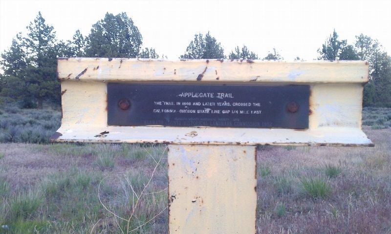
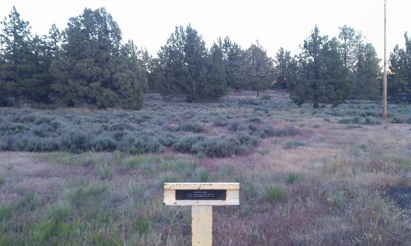
Applegate Trail
California-Oregon state line gap 1/4 mile east
Erected 1978 by Klamath County Historical Society. (Marker Number A-53.)
Topics and series. This historical marker is listed in this topic list: Exploration. In addition, it is included in the Applegate Trail series list. A significant historical year for this entry is 1846.
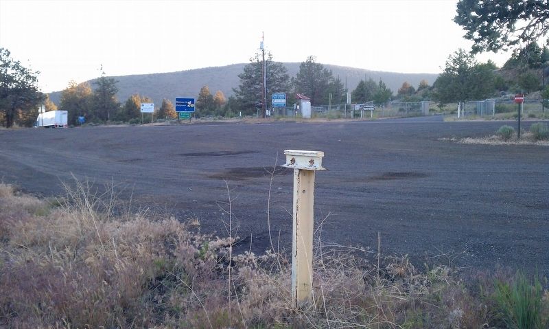
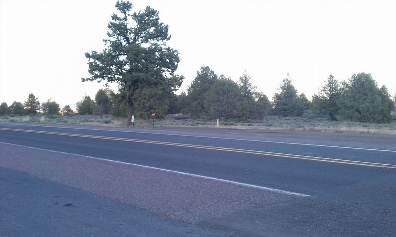
Location. 42° 0.22′ N, 121° 53.305′ W. Marker is near Klamath Falls, Oregon, in Klamath County. Marker is on Volcanic Legacy Scenic Byway (U.S. 97), on the right when traveling north. Touch for map. Marker is in this post office area: Klamath Falls OR 97603, United States of America. Touch for directions.
Other nearby markers. At least 8 other markers are within 9 miles of this marker, measured as the crow flies. A different marker also named Applegate Trail (about 300 feet away, measured in a direct line); Western International History (about 400 feet away); Resolving the Oregon Question (about 400 feet away); The 42nd Parallel (about 400 feet away); Dorris Veterans Memorial (approx. 3.2 miles away in California); South Road - Hot Creek (approx. 5.1 miles away in California); Picard California (approx. 5.2 miles away in California); Bear Valley (approx. 8.7 miles away).
Regarding Applegate Trail. The route of the historic Applegate Trail passed through this location in the year 1846 through the 1860s. Although not listed on the plaque, this marker is number A-53 in the Applegate Trail series of markers monumented by Trails West Inc. and appears in their booklet titled A Guide to the Applegate Trail From Goose Lake to Southern Oregon available for sale on their website.
Credits. This page was last revised on January 19, 2018. It was originally submitted on January 15, 2018, by Douglass Halvorsen of Klamath Falls, Oregon. This page has been viewed 219 times since then and 16 times this year. Photos: 1, 2, 3, 4. submitted on January 15, 2018, by Douglass Halvorsen of Klamath Falls, Oregon. • Bill Pfingsten was the editor who published this page.


