St. Simons Island in Glynn County, Georgia — The American South (South Atlantic)
Retreat Plantation
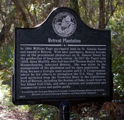
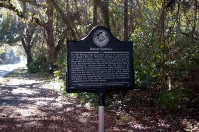
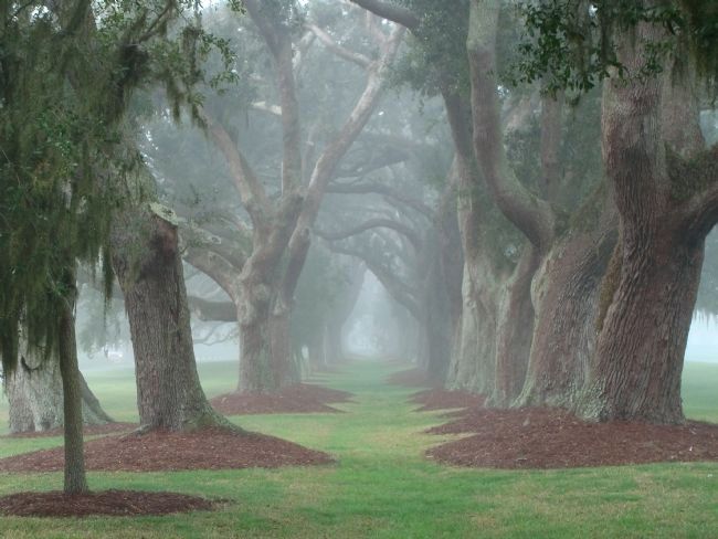
In 1804 William Page purchased land on St. Simons Sound and named it Retreat. With later purchases, Retreat became one of the preeminent plantations on St. Simons Island for the production of long-staple cotton. In 1827 the Pages' only child, Anna Matilda, who had married Thomas Butler King of Massachusetts, inherited Retreat. She was active in the management of the plantation and its slave population. Mr. King became a Georgia state senator and U. S. Congressman, where he led efforts to strengthen the U.S. Navy. Retreat land stretched from the Frederica River to the Lighthouse. Part of Retreat, including the Avenue of Oaks, is now home to Sea Island Golf Club, and other portions are residential and commercial areas and public parks.
Erected 2007 by Georgia Historical Society, Coastal Georgia Historical Society, Friends of Coastal Georgia History, and Sea Island Company. (Marker Number 63-7.)
Topics and series. This historical marker is listed in these topic lists: Agriculture • Settlements & Settlers. In addition, it is included in the Georgia Historical Society series list. A significant historical year for this entry is 1804.
Location. 31° 8.913′ N, 81° 24.092′ W. Marker is on St. Simons Island, Georgia, in Glynn County. Marker is on Kings Way, 0.2 miles north of Frederica Road, on the left when traveling north. Touch for map. Marker is in this post office area: Saint Simons Island GA 31522, United States of America. Touch for directions.
Other nearby markers. At least 8 other markers are within 2 miles of this marker, measured as the crow flies. St. Simons Park (approx. 0.8 miles away); Slave Cabin (approx. 1.1 miles away); North Atlantic Right Whale (approx. 1.1 miles away); Historic St. Simons Lighthouse (approx. 1.1 miles away); Fort St. Simons (approx. 1.1 miles away); a different marker also named Fort St. Simons (approx. 1.1 miles away); Early History of St. Simons Island (approx. 1.1 miles away); The First Lighthouse ~ 1810 (approx. 1.1 miles away). Touch for a list and map of all markers in St. Simons Island.
Related markers. Click here for a list of markers that are related to this marker. Retreat Plantation, St. Simons Island, Georgia
Credits. This page was last revised on May 27, 2022. It was originally submitted on September 8, 2008, by David Seibert of Sandy Springs, Georgia. This page has been viewed 5,150 times since then and 54 times this year. Last updated on October 18, 2018, by Cosmos Mariner of Cape Canaveral, Florida. Photos: 1, 2. submitted on September 8, 2008, by David Seibert of Sandy Springs, Georgia. 3. submitted on April 6, 2010, by Patrick Saylor of Saint Simons Island, Georgia. • Andrew Ruppenstein was the editor who published this page.


