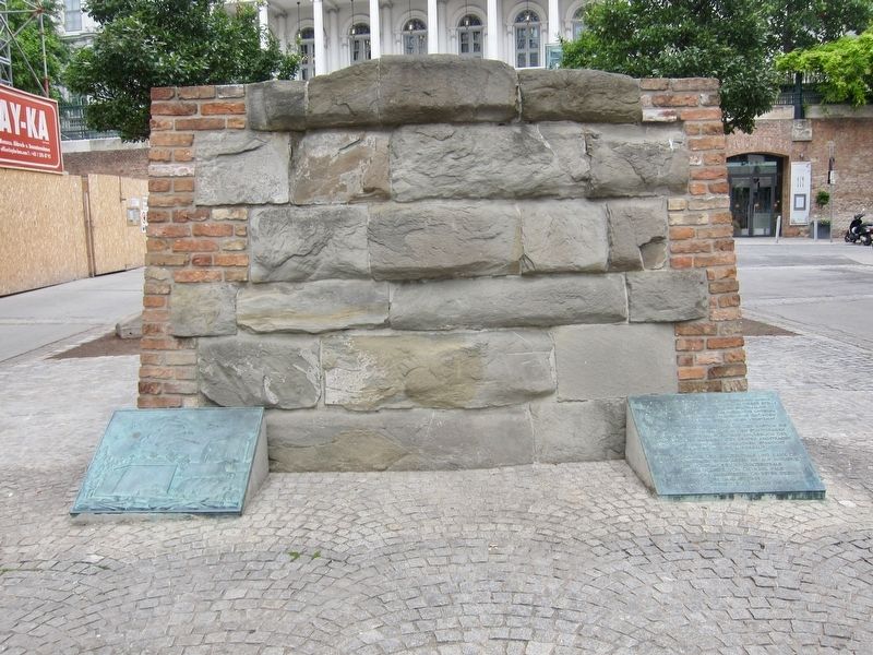
Braunbastion / The Braun Bastion
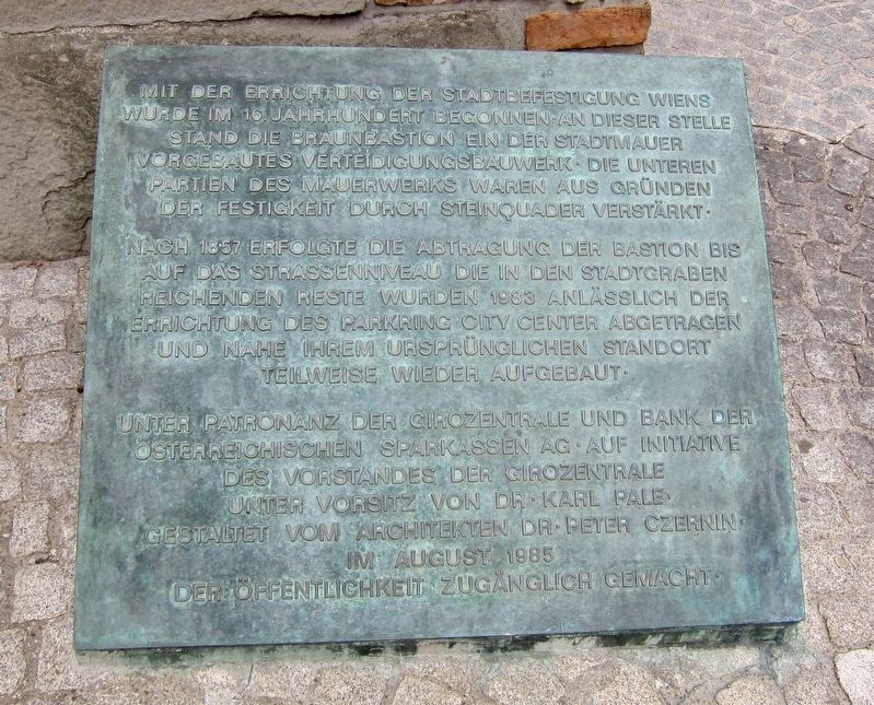
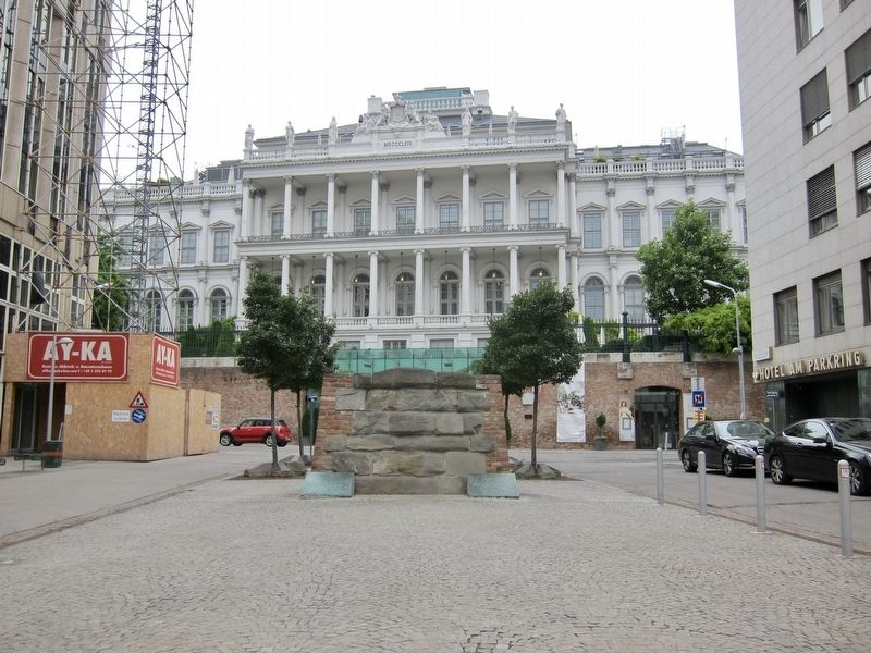
Nach 1857 erfolgte die Abtragung der Bastion bis auf der Strassenniveau die in den Stadtgraben reichenden Reste wurden 1983 anlässlich der Errichtung des Parkring City Center abgetragen und nahe ihrem ursprünglichen Standort teilweise wieder aufgebaut.
Unter Patronanz der Girozentrale und Bank auf der Österreichischen Sparkassen AG. Auf Initiative des Vorstandes der Girozentrale unter Vorsitz von Dr. Karl Pale, gestaltet vom Architekten Dr. Peter Czernin im August 1985, der Öffentlichkeit zugänglich gemacht.
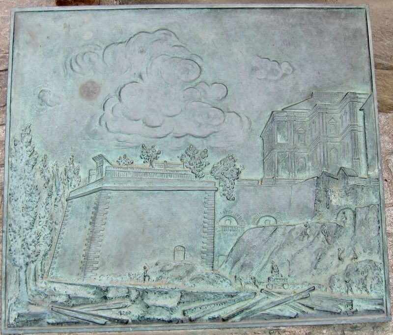
The construction of the Vienna's fortifications was begun in the 16th century. Here at this location stood the Braun bastion, a defensive structure built in front of the city walls. The lower parts of the stone structures were reinforced by cut stone blocks.
After 1857, the bastion
Under patronage of the Clearinghouse and Bank of the Austrian Sparkassen AG. On the initiative of the Executive Board of the Clearinghouse chaired by Dr. Ing. Karl Pale, designed by architect Dr. Peter Czernin in August 1985, and opened to the public.
Erected 1985 by Girozentrale und Bank auf der Österreichischen Sparkassen AG.
Topics. This historical marker is listed in this topic list: Forts and Castles. A significant historical month for this entry is August 1985.
Location. 48° 12.332′ N, 16° 22.635′ E. Marker is in Wien. It is in Stephansdom. Marker is at the intersection of Gartenbaupromenade and Coburgbastei, in the median on Gartenbaupromenade. Touch for map. Marker is in this post office area: Wien 1010, Austria. Touch for directions.
Other nearby markers. At least 8 other markers are within walking distance of this marker. Kurt Gödel (about 180 meters away, measured in a direct line); Karl Freiherr von Vogelsang (about 240 meters away); Franz Grillparzer (approx. 0.2 kilometers away); Mozart's First (approx. 0.2 kilometers away); Egon Cäsar Conte Corti (approx. 0.3 kilometers away); Ferenc Rákóczi
Also see . . . Palais Coburg History. "1545-1555 The so-called Braunbastei, named after the engineer in charge, is being built where Palais Coburg now stands." (Submitted on January 17, 2018.)
Credits. This page was last revised on February 1, 2022. It was originally submitted on January 17, 2018, by Andrew Ruppenstein of Lamorinda, California. This page has been viewed 171 times since then and 21 times this year. Photos: 1, 2, 3, 4. submitted on January 17, 2018, by Andrew Ruppenstein of Lamorinda, California.


