Grand Ronde in Polk County, Oregon — The American West (Northwest)
The Grand Ronde Indian Reservation
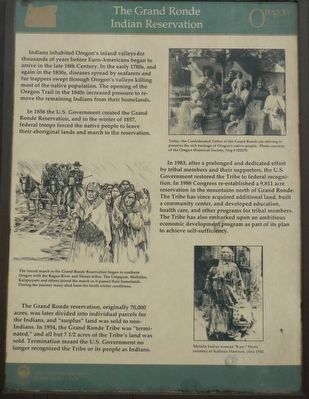
In 1856, the U.S. Government created the Grand Ronde Reservation, and in the winter of 1857, federal troops forced the native people to leave their aboriginal lands and march to the reservation.
The Grand Ronde reservation, originally 70,000 acres, was later divided into individual parcels for the Indians, and “surplus” land was sold to non-Indians. In 1954, the Grand Ronde Tribe was “terminated,í and all but 7 1/2 acres of the Tribeís land was sold. Termination meant the U.S. Government no longer recognized the Tribe or its people as Indians.
In 1983, after a prolonged and dedicated effort by tribal members and their supporters, the U.S. Government restored the Tribe to federal recognition. In 1988 Congress re-established a 9,811 acre reservation in the mountains north of Grand Ronde. The Tribe has since acquired additional land, built a community center, and developed education, health care, and other programs for tribal members. The Tribe has also embarked upon an ambitious economic development program as part of its plan to achieve self-sufficiency.
Erected by Oregon Department of Transportation.
Topics and series. This historical marker is listed in this topic list: Native Americans. In addition, it is included in the Oregon Beaver Boards series list. A significant historical year for this entry is 1856.
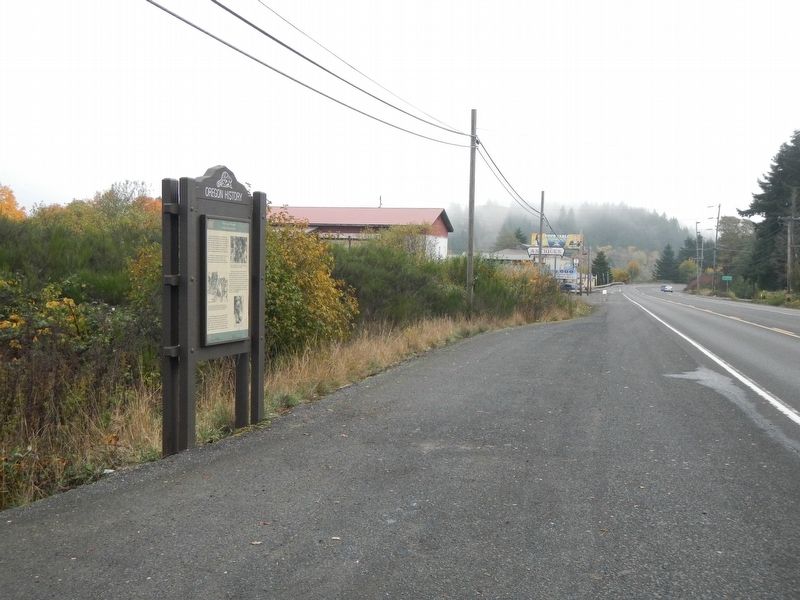
Location. 45° 3.534′ N, 123° 36.696′ W. Marker is in Grand Ronde, Oregon, in Polk County. Marker is on Oregon Route 18 near Grand Ronde Road, on the right when traveling west. Touch for map. Marker is at or near this postal address: 28459 Oregon Highway 18, Grand Ronde OR 97347, United States of America. Touch for directions.
Other nearby markers. At least 3 other markers are within 3 miles of this marker, measured as the crow flies. Cross-Cultural Convenience Store (approx. 2.1 miles away); We Greet Settlement Ö Ö With Reservations (approx. 2.1 miles away); Policing or Protecting? (approx. 2.1 miles away).
Also see . . . Oregon Travel Experience - The Grand Ronde Indian Reservation. (Submitted on January 19, 2018, by Douglass Halvorsen of Klamath Falls, Oregon.)
Credits. This page was last revised on February 22, 2018. It was originally submitted on January 19, 2018, by Barry Swackhamer of Brentwood, California. This page has been viewed 245 times since then and 18 times this year. Photos: 1, 2. submitted on January 19, 2018, by Barry Swackhamer of Brentwood, California.

