Litchfield in Lassen County, California — The American West (Pacific Coastal)
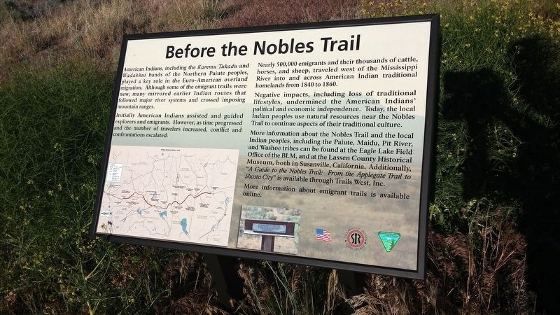
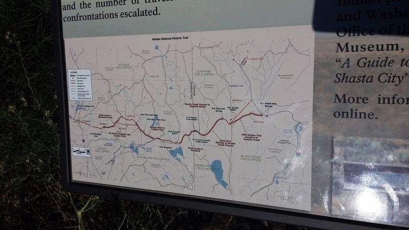
Before the Nobles Trail
Initially American Indians assisted and guided explorers and emigrants. However, as time progressed and the number of travelers increased, conflict and confrontations escalated.
Nearly 500,000 emigrants and their thousands of cattle, horses, and sheep, traveled west of the Mississippi River into and across American Indian traditional homelands from 1840 to 1860.
Negative impacts, including loss of traditional lifestyles, undermined the American Indians' political and economic independence. Today, the local Indian peoples use natural resources near the Nobles Trail to continue aspects of their traditional culture.
Erected by Eagle Lake Field Office of the BLM, Lassen County Historical Society and Trails West, Inc.
Topics. This historical marker is listed in this topic list: Native Americans. A significant historical year for this entry is 1840.
Location. 40° 25.123′ N, 120° 17.089′ W. Marker is in Litchfield, California, in Lassen County. Marker is on U.S. 395, on the right when traveling north. Touch for map. Marker is in this post office area: Litchfield CA 96117, United States of America. Touch for directions.
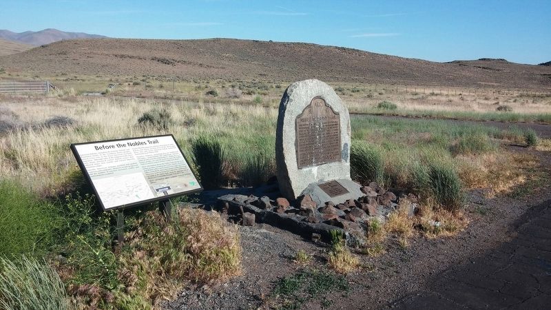
Other nearby markers. At least 2 other markers are within 7 miles of this marker, measured as the crow flies. Noble Emigrant Trail (here, next to this marker); Nobles Trail - Soldiers Bridge (approx. 6.4 miles away).
Credits. This page was last revised on January 22, 2018. It was originally submitted on January 19, 2018, by Douglass Halvorsen of Klamath Falls, Oregon. This page has been viewed 226 times since then and 13 times this year. Photos: 1, 2, 3. submitted on January 19, 2018, by Douglass Halvorsen of Klamath Falls, Oregon. • Andrew Ruppenstein was the editor who published this page.


