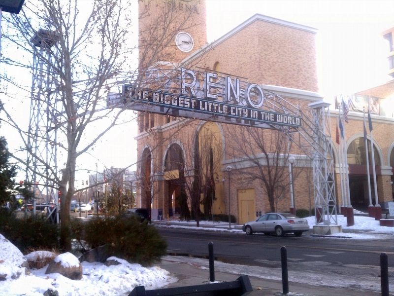
Reno in Washoe County, Nevada — The American Mountains (Southwest)
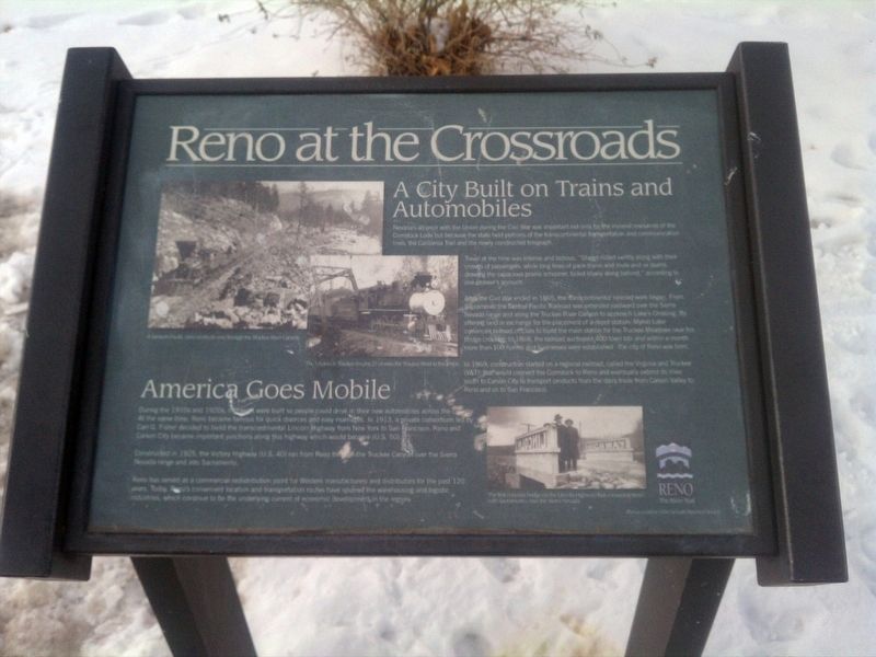
Reno at the Crossroads
Nevada's alliance with the Union during the Civil War was important not only for the mineral resources of the Comstock Lode but because the state held portion of the transcontinental transportation and communication lines, the California Trail and the newly constructed telegraph.
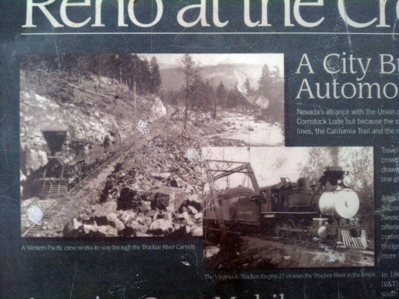
After the Civil War ended in 1865, the transcontinental railroad work began. From Sacramento the Central Pacific Railroad was extended eastward over Sierra Nevada range and along the Truckee River Canyon to approach Lake's crossing (near here). By offering land in exchange for the placement of a depot station, Myron Lake convinced railroad officials to build the main station for the Truckee Meadows near his bridge crossing. In 1868, the railroad auctioned 400 town lots and within a month more than 100 houses and businesses were established - the city of Reno was born.
In 1869, construction started on a regional railroad, called the Virginia and Truckee (V&T); that would connect the Comstock to Reno and eventually extend its lines south to Carson City to transport products from the dairy trade from Carson Valley to Reno and on to San Francisco.
America Goes Mobile
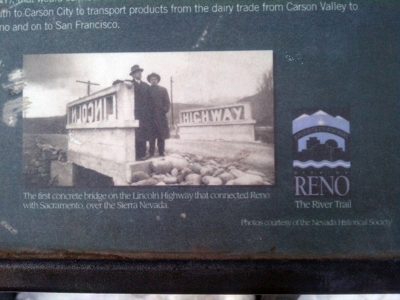
During the 1910s and 1920s, highways were built so people could drive in their new automobiles across the country. At the same time, Reno became famous for quick divorces and easy marriages. In 1913, a private consortium led by Carl G. Fisher decided to build the transcontinental Lincoln Highway from New York to San Francisco. Reno and Carson City became important junctions along the highway which would become (U.S. 50).
Constructed 1925, the Victory Highway (U.S. 40) ran from Reno through the Truckee Canyon over the Sierra Nevada range and into Sacramento.
Reno has served as a commercial redistribution point for Western manufacturers and distributors for the past 120 years. Today, Reno's convenient location and transportation routes have spurred the warehousing and logistic industries, which continue to be the underlying current of economic development in the region.
Erected by Nevada Historical Society.
Topics and series. This historical marker is listed in these topic lists: Railroads & Streetcars • Roads & Vehicles. In addition, it is included in the Lincoln Highway series list. A significant historical year for this entry is 1865.
Location. 39° 31.553′ N, 119° 48.582′ W. Marker is in Reno, Nevada, in Washoe County. Marker is on Lake St north of Mill Street, on the right when traveling north. Touch for map. Marker is in this post office area: Reno NV 89501, United States of America. Touch for directions.
Other nearby markers. At least 8 other markers are within walking
distance of this marker. The Reno Arch (within shouting distance of this marker); Frederick Joseph DeLongechamps (approx. 0.2 miles away); Site of Nevada’s First Public Library (approx. 0.2 miles away); Ginsburg Jewelry Company (approx. 0.2 miles away); Lake's Crossing (approx. 0.2 miles away); The Virginia Street Bridges (approx. 0.2 miles away); Washoe County World War II Memorial (approx. 0.2 miles away); Reno (approx. 0.2 miles away). Touch for a list and map of all markers in Reno.
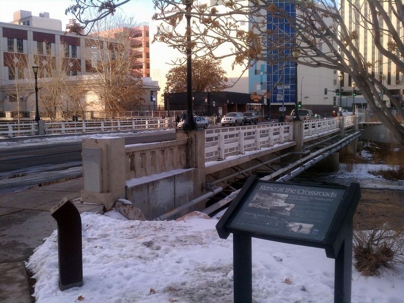
Regarding Reno at the Crossroads. Marker located in front of the National Automobile Museum.
Credits. This page was last revised on January 22, 2018. It was originally submitted on January 19, 2018, by Douglass Halvorsen of Klamath Falls, Oregon. This page has been viewed 453 times since then and 16 times this year. Photos: 1, 2, 3, 4, 5. submitted on January 19, 2018, by Douglass Halvorsen of Klamath Falls, Oregon. • Andrew Ruppenstein was the editor who published this page.
