Astoria in Clatsop County, Oregon — The American West (Northwest)
A Great Artery of Transportation
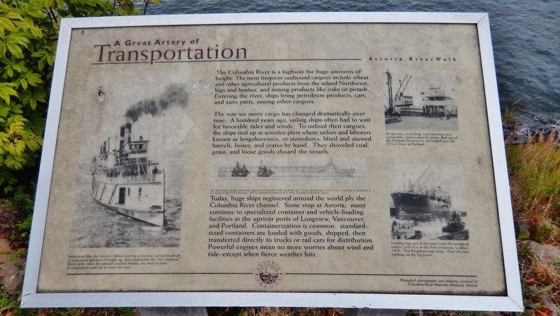
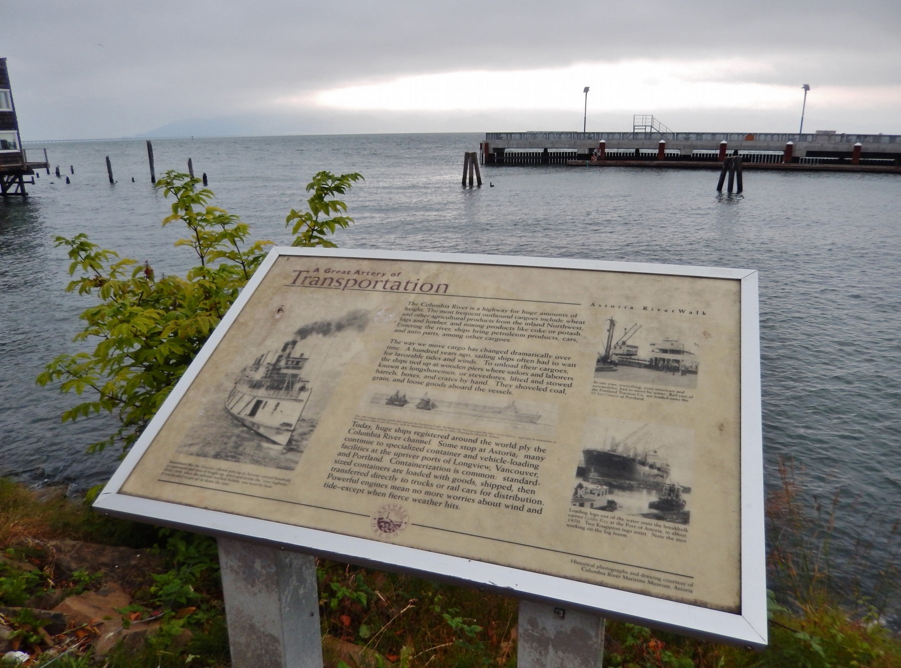
The Columbia River is a highway for huge amounts of freight. The most frequent outbound cargoes include wheat and other agricultural products from the inland Northwest, logs and lumber, and mining products like coke or potash. Entering the river, ships bring petroleum products, cars, and auto parts, among other cargoes.
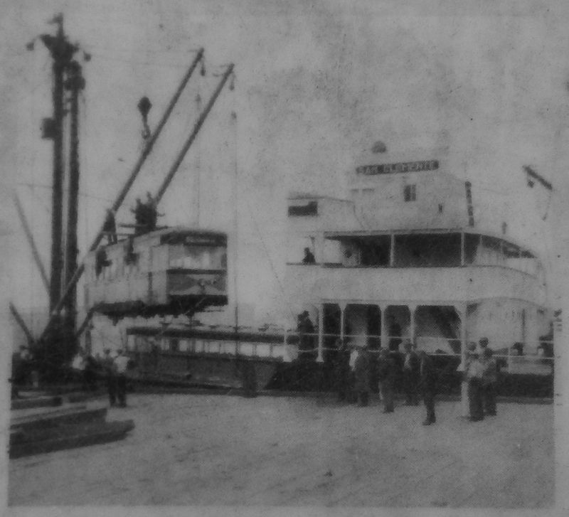
The way we move cargo has changed dramatically over time. A hundred years ago, sailing ships often had to wait for favorable tides and winds. To unload their cargoes, the ships tied up at wooden piers where sailors and laborers known as longshoremen, or stevedores, lifted and stowed barrels, boxes, and crates by hand. They shoveled coal, grain, and loose goods aboard the vessels.
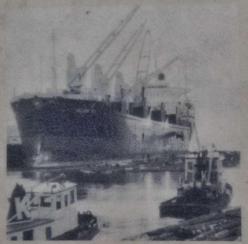
Today, huge ships registered around the world ply the Columbia River channel. Some stop at Astoria; many continue to specialized container and vehicle-loading facilities at the upriver ports of Longview, Vancouver, and Portland. Containerization is common: standard-sized containers are loaded with goods, shipped, then transferred directly to trucks or rail cars for distribution. Powerful engines mean no more worries about wind and tide – except when fierce weather hits.
Erected by City of Astoria.
Topics. This historical marker is listed in these topic lists: Industry & Commerce • Man-Made Features • Waterways & Vessels.
Location. 46° 11.382′ N, 123° 49.502′ W. Marker is in Astoria, Oregon, in Clatsop County. Marker can be reached from East Columbia River Highway (U.S. 30) east of 16th Street, on the left when traveling east. Marker is located along the Astoria Riverwalk, north of the highway, overlooking the Columbia River, east of 16th Street. Touch for map. Marker is in this post office area: Astoria OR 97103, United States of America. Touch for directions.
Other nearby markers. At least 8 other markers are within walking distance of this marker. A Waterfront at Work (about 300 feet away, measured in a direct line); Into the Unknown (about 400 feet away); Ranald MacDonald (about 800 feet away); Fort Astoria (approx. 0.2 miles away); Site of Original Settlement of Astoria (approx. 0.2 miles away); 14th Street Ferry Slip (approx. 0.2 miles away); Gimre's Shoe Store (approx. 0.2 miles away); Columbia River Tugs And Towboats (approx. 0.2 miles away). Touch for a list and map of all markers in Astoria.
Also see . . .
1. Columbia River Waterway.
For centuries, the Columbia River has been at the center of trade and transportation in the Pacific Northwest. Before the nineteenth century, trade focused on fishing and hunting, and travel was constrained by the river's
Photographed By Cosmos Mariner, July 8, 2015
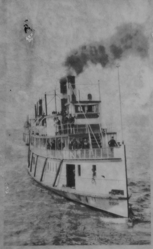
2. Marker detail: Steamboat
Steamboats like the Columbia (shown arriving at Astoria) carried hundreds of passengers and tons of freight up, down and across the “river highway.” Until 1898, when the railroad reached Astoria, you went by boat if you needed to get up or down the river.
2. Columbia River.
The use of steamboats along the river, beginning with the British Beaver in 1836 and followed by American vessels in 1850, contributed to the rapid settlement and economic development of the region. The boats, initially powered by burning wood, carried passengers and freight throughout the region for many years. Early railroads served to connect steamboat lines interrupted by waterfalls on the river's lower reaches. In the 1880s, railroads began to supplement steamboat operations as the major transportation links along the river. (Submitted on January 25, 2018, by Cosmos Mariner of Cape Canaveral, Florida.)

Photographed By Cosmos Mariner, July 8, 2015
3. Marker detail: Container ship President Washington
The 18th-century trading vessels that explored the Northwest Coast, the sloop Lady Washington and the ship Columbia Rediviva, were tiny in comparison to the container ship President Washington, built by American President Lines in 1953.
Credits. This page was last revised on February 15, 2021. It was originally submitted on January 24, 2018, by Cosmos Mariner of Cape Canaveral, Florida. This page has been viewed 282 times since then and 14 times this year. Photos: 1. submitted on January 24, 2018, by Cosmos Mariner of Cape Canaveral, Florida. 2, 3, 4, 5, 6. submitted on January 25, 2018, by Cosmos Mariner of Cape Canaveral, Florida. • Bill Pfingsten was the editor who published this page.
