Hettinger in Adams County, North Dakota — The American Midwest (Upper Plains)
Custer and Hiddenwood Cliff
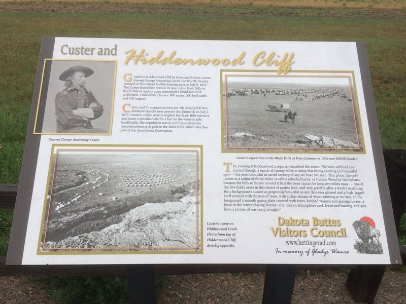
Guided to Hiddenwood Cliff by Sioux and Arikara scouts, General George Armstrong Custer and the 7th Cavalry camped on this famed buffalo hunting spot on July 8, 1874. The Custer Expedition was on its way to the Black Hills in South Dakota and its camp consumed a broad area with 2,000 men, 1,000 cavalry horses, 900 mules, 300 beef cattle, and 150 wagons.
Custer and 10 companies from his 7th Cavalry left Fort Abraham Lincoln near present day Bismarck on July 2, 1874. Custer's orders were to explore the Black Hills territory and locate a potential site for a fort on the western side. Unofficially, the expedition was to confirm or deny the rumored presence of gold in the Black Hills, which was then part of the Great Sioux Reservation.
The evening at Hiddenwood a reporter described the scene: "We have suffered and panted through a march of twenty miles to enjoy this balmy evening and beautiful spot - the most beautiful in varied scenery of any we have yet seen. This place, the only timber in a radius of thirty miles, is called Pahachechacha, or Hidden Wood by the Indians, because the hills so cluster around it that the trees cannot by seen two miles away - one of the few shady oases in this desert of prairie land, and very grateful after a week's marching . For a background a sunset as gorgeously beautiful as any that ever glowed and a high, jagged bluff covered with clusters of trees, with a clear stream of water running at its base. In the foreground a smooth grassy plain covered with tents, hooded wagons and grazing horses, a band in the center playing familiar airs, and an atmosphere cool, fresh and bracing, and you have a picture of our camp to-night."
[Captions:]
General George Armstrong Custer
Custer's camp on Hiddenwood Creek. Photo from top of Hiddenwood Cliff, directly opposite.
Custer's expedition to the Black Hills at Four Columns in 1874 near ND/SD border.
Erected by Dakota Buttes Visitors Council.
Topics. This historical marker is listed in these topic lists: Exploration • Native Americans • Wars, US Indian. A significant historical date for this entry is July 8, 1874.
Location. 45° 57.858′ N, 102° 24.446′ W. Marker is in Hettinger, North Dakota, in Adams County. Marker is on U.S. 12, half a mile north of 40th Ave SE. Touch for map. Marker is in this post office area: Hettinger ND 58639, United States of America. Touch for directions.
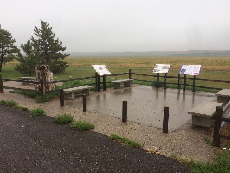
Other nearby markers. At least 2 other markers are within walking distance of this marker. The Last Great Buffalo Hunts (here, next to this marker); Recognizing our Past (here, next to this marker).
Credits. This page was last revised on March 17, 2024. It was originally submitted on January 24, 2018, by Ruth VanSteenwyk of Aberdeen, South Dakota. This page has been viewed 790 times since then and 72 times this year. Photos: 1, 2, 3. submitted on January 24, 2018, by Ruth VanSteenwyk of Aberdeen, South Dakota. • Bill Pfingsten was the editor who published this page.


