Florence in Lane County, Oregon — The American West (Northwest)
Siuslaw River Bridge
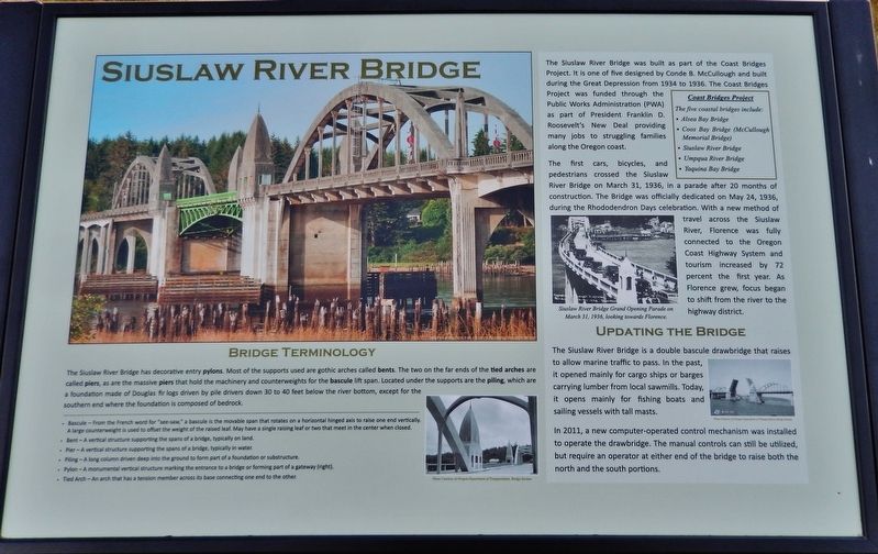
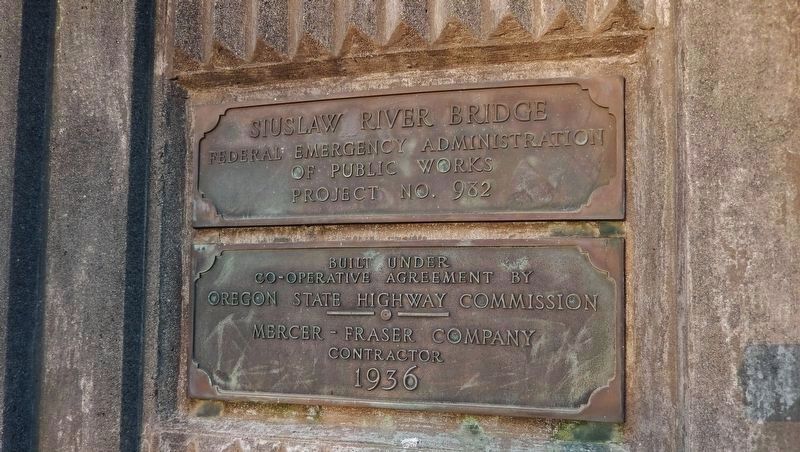
The Siuslaw River Bridge was built as part of the Coast Bridges Project. It is one of five designed by Conde B. McCullough and built during the Great Depression from 1934 to 1936. The Coast Bridges Project was funded through the Public Works Administration (PWA) as part of President Franklin D. Roosevelt's New Deal providing many jobs to struggling families along the Oregon coast.
Coast Bridges Project
The five coastal bridges include:
Alsea Bay Bridge
Coos Bay Bridge (McCullough Memorial Bridge)
Siuslaw River Bridge
Umpqua River Bridge
Yaquina Bay Bridge
The first cars, bicycles, and pedestrians crossed the Siuslaw River Bridge on March 31, 1936, in a parade after 20 months of construction. The Bridge was officially dedicated on May 24, 1936, during the Rhododendron Days celebration. With a new method of travel across the Siuslaw River, Florence was fully connected to the Oregon Coast Highway System and tourism increased by 72 percent the first year. As Florence grew, focus began to shift from the river to the highway district.
Updating the Bridge
The Siuslaw River Bridge is a double bascule drawbridge that raises to allow marine traffic to pass. In the past, it opened mainly for cargo ships or barges carrying lumber from local sawmills. Today, it opens mainly for fishing boats and sailing vessels with tall masts.
In 2011, a new computer-operated control mechanism was installed to operate the drawbridge. The manual controls can still be utilized, but require an operator at either end of the bridge to raise both the north and the south portions.
Bridge Terminology
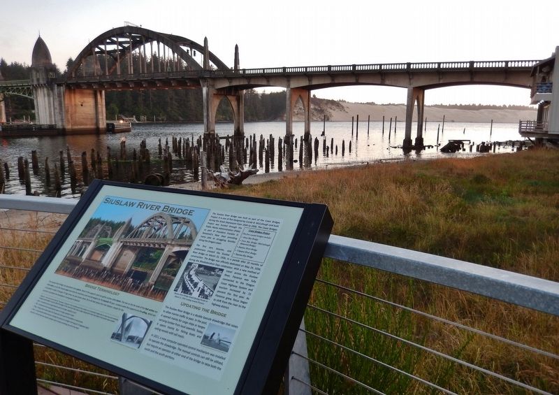
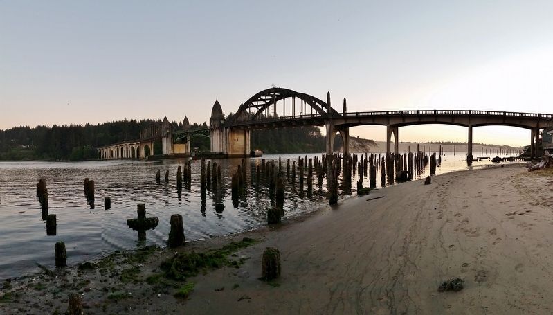
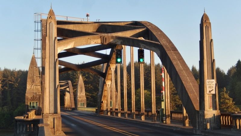
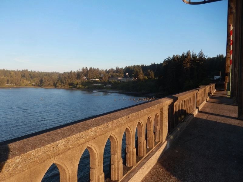
The Siuslaw River Bridge has decorative entry pylons. Most of the supports used are gothic arches called bents. The two on the far ends of the tied arches are called piers, as are the massive piers that hold the machinery and counterweights for the bascule lift span. Located under the supports are the pilings, which are a foundation made of Douglas fir logs driven by pile drivers down 30 to 40 feet below the river bottom, except for the southern end where the foundation is composed of bedrock.
Bascule - From the French word for "see-saw," a bascule is the movable span that rotates on a horizontal hinged axis to raise one end vertically. A large counterweight is used to offset the weight of the raised leaf. May have a single raising leaf or two that meet in the center when closed.
Bent - A vertical structure supporting the spans of a bridge, typically on land.
Pier - A vertical structure supporting the spans of a bridge, typically in water.
Piling - A long column driven deep into the ground to form part of a foundation or substructure.
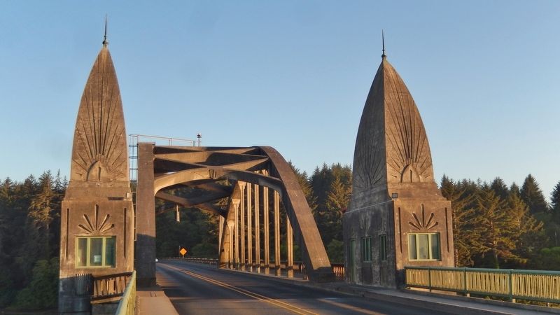
Pylon - A monumental vertical structure marking the entrance to a bridge or forming part of a gateway.
Tied Arch - An arch that has a tension member across its base connecting one end to the other.
Topics. This historical marker is listed in these topic lists: Architecture • Bridges & Viaducts • Roads & Vehicles • Waterways & Vessels.
Location. 43° 57.962′ N, 124° 6.457′ W. Marker is in Florence, Oregon, in Lane County. Marker is on Bay Street east of Oregon Coast Highway (U.S. 101), on the right when traveling east. Marker is located in the Siuslaw Interpretive Center, a small plaza overlooking the Siuslaw River and the subject bridge. Touch for map. Marker is at or near this postal address: 1252 Bay Street, Florence OR 97439, United States of America. Touch for directions.
Other nearby markers. At least 8 other markers are within 12 miles of this marker, measured as the crow flies. Mapleton Depot (a few steps from this marker); Welcome to Historic Old Town (within shouting distance of this marker); The Kyle Building (within shouting distance of this marker); Navigating the Siuslaw River (within shouting distance of this marker); Florence: Industrial Beginnings (about 300 feet away, measured in a direct line); Siuslaw River Bridge: Construction & Design (about 300 feet away); Harbor Theater (about 500 feet away); Technology Spans (approx. 11.6 miles away). Touch for a list and map of all markers in Florence.
Related markers. Click here for a list of markers that are related to this marker.
Also see . . . Siuslaw River Bridge.
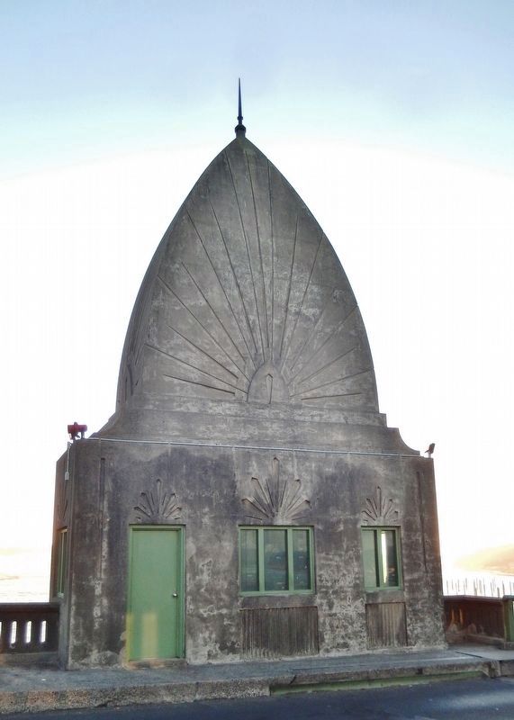
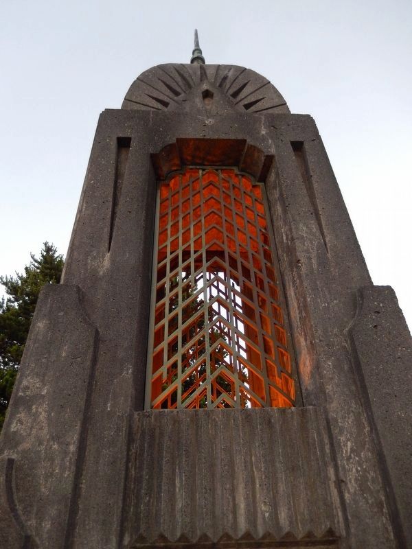
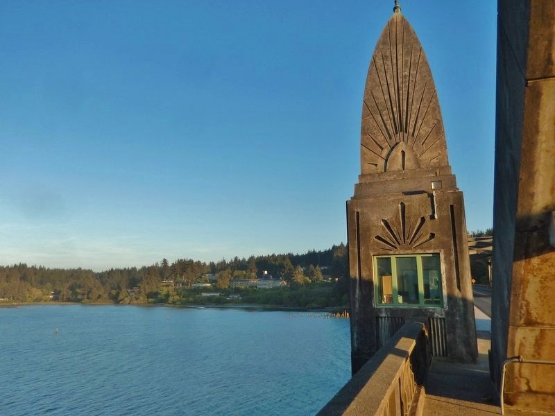
The bridge's total length is 1,568 feet. When open, the 140-foot double-leaf bascule provides 110 feet of horizontal clearance for boat traffic. The bascule section is flanked by two 154-foot reinforced concrete tied arches. Four Art Deco-style obelisks house mechanical equipment as well as living quarters for the bridge operator. (Submitted on January 26, 2018, by Cosmos Mariner of Cape Canaveral, Florida.)
Credits. This page was last revised on October 19, 2020. It was originally submitted on January 24, 2018, by Cosmos Mariner of Cape Canaveral, Florida. This page has been viewed 392 times since then and 30 times this year. Photos: 1. submitted on January 24, 2018, by Cosmos Mariner of Cape Canaveral, Florida. 2, 3, 4, 5. submitted on January 26, 2018, by Cosmos Mariner of Cape Canaveral, Florida. 6, 7. submitted on April 27, 2018, by Cosmos Mariner of Cape Canaveral, Florida. 8, 9. submitted on May 4, 2018, by Cosmos Mariner of Cape Canaveral, Florida. 10. submitted on April 27, 2018, by Cosmos Mariner of Cape Canaveral, Florida. 11. submitted on January 26, 2018, by Cosmos Mariner of Cape Canaveral, Florida. • Andrew Ruppenstein was the editor who published this page.
