Florence in Lane County, Oregon — The American West (Northwest)
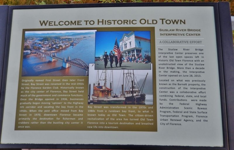
Welcome to Historic Old Town
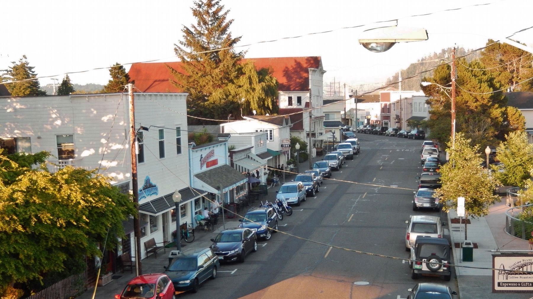
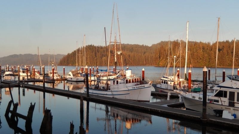
Originally named First Street then later Front Street, Bay Street was renamed in the mid-1950s by the Florence Garden Club. Historically known as the city center of Florence, Bay Street held much of the government and commerce functions. Once the Bridge opened in 1936, businesses gradually began moving 'uptown' to the Highway 101 corridor and vacating the bay front in the 1950s. When the post office moved from Bay Street in 1970, downtown Florence became primarily the destination for fishermen and crabbers rather than the bustling city center it once was.
Bay Street was transformed in the 1970s and 1980s from a rundown bay front, to what is known today as Old Town. The citizen-driven revitalization of the area has turned Old Town Florence into a tourism destination and breathed new life into downtown.
Siuslaw River Bridge Interpretive Center
A Collaborative Effort
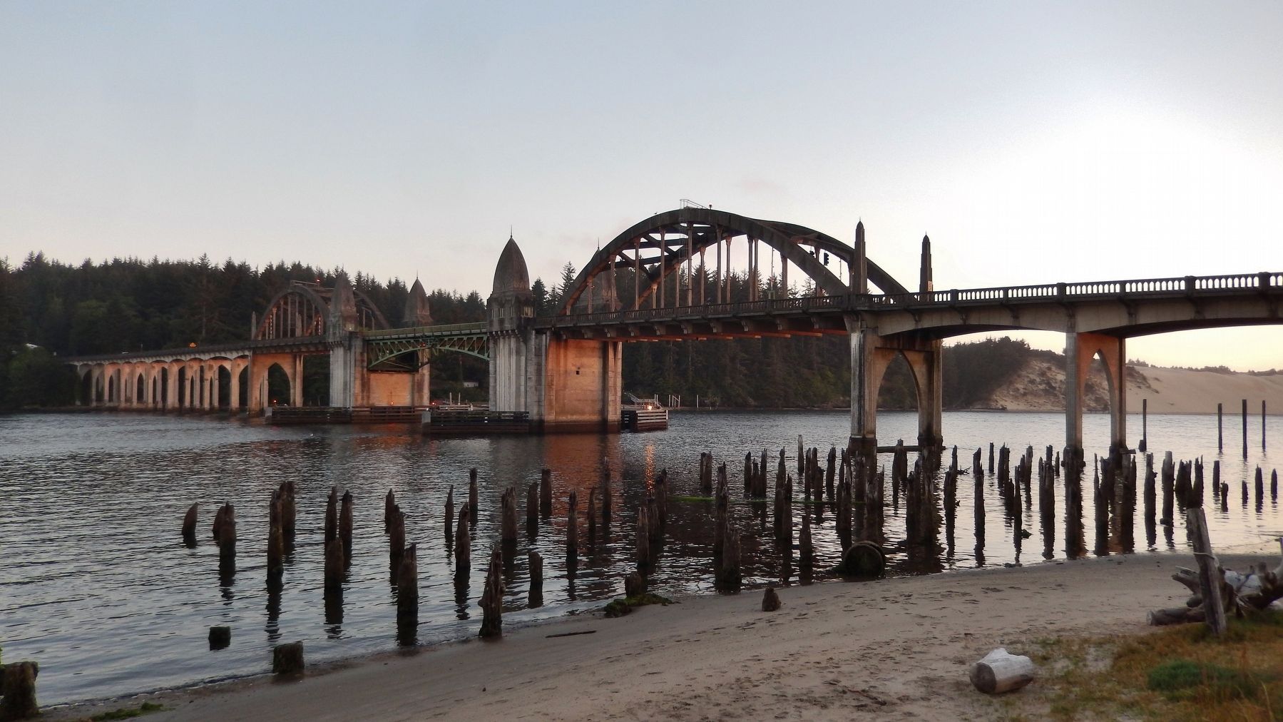
The Siuslaw River Bridge Interpretive Center preserves one of the last open spaces left in Historic Old Town Florence with an unobstructed view of the Siuslaw River Bridge. More than a decade in the making, the Interpretive Center opened on June 28, 2013. Located on what was previously known as the Barnett property, the construction of the Interpretive Center was a collaborative effort combining federal, state, and local funds. Contributions were made by the Federal Highway Administration Scenic Byways Program, Federal and State Surface Transportation Program, Florence Urban Renewal Agency, and the City of Florence.
Topics. This historical marker is listed in these topic lists: Bridges & Viaducts • Industry & Commerce.
Location. 43° 57.977′ N, 124° 6.461′ W. Marker is in Florence, Oregon, in Lane County. Marker is on Bay Street east of Oregon Coast Highway (U.S. 101), on the right when traveling east. Marker is near the sidewalk on the south side of Bay Street. Touch for map. Marker is at or near this postal address: 1252 Bay Street, Florence OR 97439, United States of America. Touch for directions.
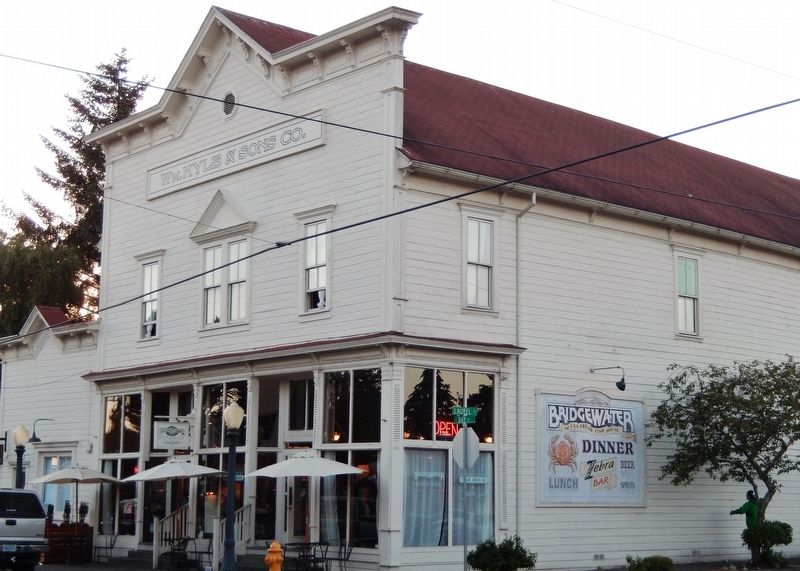
Other nearby markers. At least 8 other markers are within 12 miles of this marker, measured as the crow flies. Siuslaw River Bridge (within shouting distance of this marker); Mapleton Depot (within shouting distance of this marker); The Kyle Building (within shouting distance of this marker); Navigating the Siuslaw River (within shouting distance of this marker); Florence: Industrial Beginnings (within shouting distance of this marker); Siuslaw River Bridge: Construction & Design (about 300 feet away, measured in a direct line); Harbor Theater (about 500 feet away); Technology Spans (approx. 11.6 miles away). Touch for a list and map of all markers in Florence.
Also see . . .
1. History Of The Port.
In the early part of the 20th century, lumber and fisheries were the mainstays of the local economy in a relatively remote part of the State of Oregon. In March 1936, the McCullough designed bridge over the Siuslaw River was opened and became a part of Highway 101. The stretch of Highway 101 between Florence and Yachats is
considered to be one of the most scenic stretches of the already scenic Oregon Coast. (Submitted on January 26, 2018, by Cosmos Mariner of Cape Canaveral, Florida.)
2. Florence, Oregon.
The Florence area was originally inhabited by the Siuslaw tribe of Native Americans. Some claim that the city was named after state senator A. B. Florence, who represented Lane County from 1858 to 1860; another claim is that Florence was named after a French vessel that was wrecked at the mouth of the Siuslaw River on February 17, 1875. (Submitted on January 26, 2018, by Cosmos Mariner of Cape Canaveral, Florida.)
Credits. This page was last revised on January 27, 2018. It was originally submitted on January 24, 2018, by Cosmos Mariner of Cape Canaveral, Florida. This page has been viewed 301 times since then and 32 times this year. Photos: 1. submitted on January 24, 2018, by Cosmos Mariner of Cape Canaveral, Florida. 2, 3, 4, 5. submitted on January 26, 2018, by Cosmos Mariner of Cape Canaveral, Florida. • Andrew Ruppenstein was the editor who published this page.
