Georgetown in Northwest Washington in Washington, District of Columbia — The American Northeast (Mid-Atlantic)
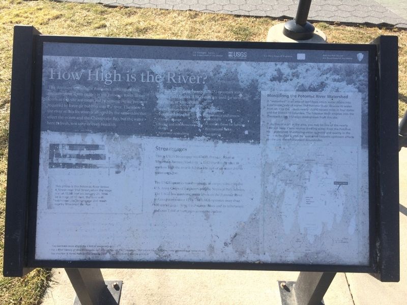
How High is the River?
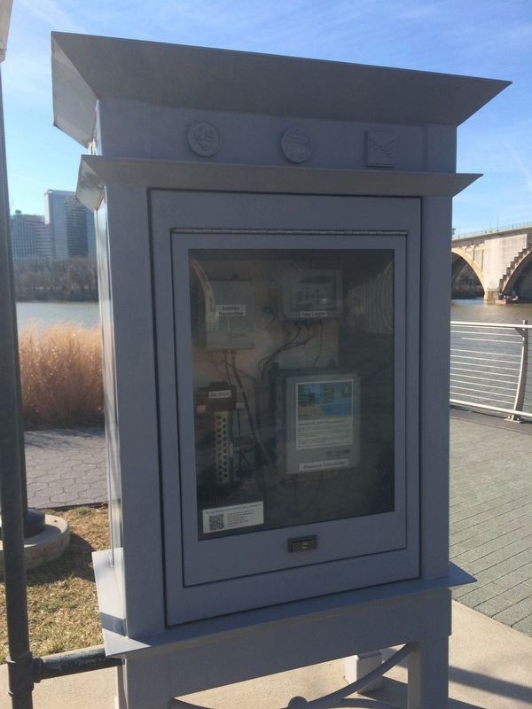
The structure to the right contains a streamgage that records water levels (stage) in the Potomac River. Water levels at this site are measured by sensing the air pressure required to force air bubbles into the river. The water in the river at this location is affected by the same tides that affect the ocean and the Chesapeake Bay, but the water here is fresh, not salty or even brackish.
The U.S. Geological Survey (USGS) monitors water quantity and quality. USGS data are used for studying, managing, or forecasting:
• Water resources and supply
• Floods and droughts
• Climate change
• Bridge and infrastructure design
• Reservoir operations
• Water quality
• Stormwater and stream restoration
• In-stream flows for habitats
• Recreational safety
• Navigation
Streamgages
This is USGS Streamgage 01647600, Potomac River at Wisconsin Avenue, Washington, D.C. Use this number to see how high the river is for this site and other water data at www.usgs.gov.
The USGS operates this streamgage in cooperation with the U.S. Army Corps of Engineers and the National Park Service. The USGS has measured water levels on the Potomac River in Georgetown since 1935. The USGS operates more than 100 streamgages along the Potomac River and its tributaries and over 7,600 streamgages across the Nation.
Monitoring the Potomac River Watershed
A "watershed" is an area of land from which water drains into a particular body of water. The Potomac River receives its water from an area that covers nearly 15,000 square miles in four states and the District of Columbia. The Potomac River empties into the Chesapeake Bay 112 miles downstream from this site.
If you live or work in the area, you may be one of the nearly 5 million people who receive drinking water from the Potomac River watershed. Monitoring water quantity and quality in the entire watershed is vital, because what happens upstream affects people and the environment downstream.
Caption:
This photo is the Potomac River below K Street near 31st Street when the stage was at 13.88 feet on January 21, 1996. At a stage of 12 feet, the river will submerge this streamgage and reach nearby Wisconsin Avenue.
Erected by US Geological Survey, US Army Corps of Engineers, National Park Service.
Topics. This historical marker is listed in these topic lists: Science & Medicine • Waterways & Vessels. A significant historical year for this entry is 1935.
Location. This marker has been replaced by another marker nearby. It was located
Other nearby markers. At least 8 other markers are within walking distance of this location. A different marker also named How High is the River? (within shouting distance of this marker); An Industrial Georgetown (about 300 feet away, measured in a direct line); Window on Washington (about 400 feet away); Francis Scott Key Park … a place to reflect (about 400 feet away); Forrest Marbury House (about 500 feet away); Francis Scott Key Bridge (about 600 feet away); Halcyon House (about 700 feet away); Georgetown's First Market (about 700 feet away). Touch for a list and map of all markers in Northwest Washington.
Related marker. Click here for another marker that is related to this marker. This marker has been replaced with the linked marker, which has a different inscription.

Photographed By Devry Becker Jones (CC0), January 27, 2018
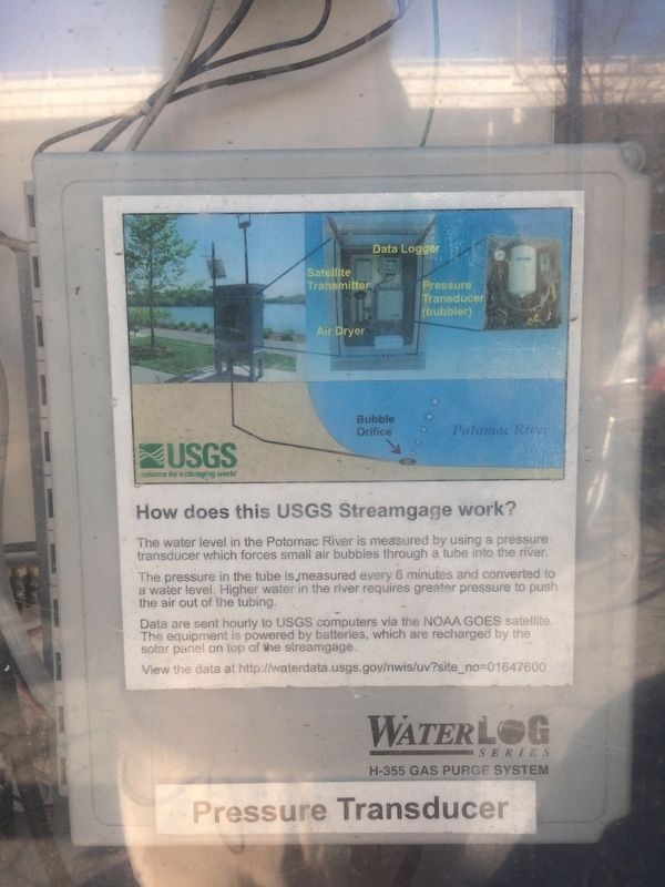
3. Signage on the USGS Streamgage
How does this USGS Streamgage work?
The water level in the Potomac River is measured by using a pressure transducer which forces small air bubbles through a tube into the river.
The pressure in the tube is measured every 6 minutes and converted to a water level. Higher water in the river requires greater pressure to push the air out of the tubing.
Data are sent hourly to USGS computers via the NOAA GOES satellite. The equipment is powered by batteries, which are recharged by the solar panel on top of the streamgage.
View the data at http://waterdata.usgs.gov/nwis/uv?site_no=01647600
Credits. This page was last revised on December 10, 2023. It was originally submitted on January 27, 2018, by Devry Becker Jones of Washington, District of Columbia. This page has been viewed 179 times since then and 9 times this year. Photos: 1, 2, 3. submitted on January 27, 2018, by Devry Becker Jones of Washington, District of Columbia. • Bill Pfingsten was the editor who published this page.

