Near Florence in Lane County, Oregon — The American West (Northwest)
Road Behind And Sea Beyond
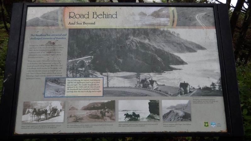
This headland has attracted and challenged centuries of travelers.
For centuries, Siuslaw, Yachats and Alsea Tribes were drawn to the rich marine resources at Heceta Head. As they hunted, fished, and traveled, they established trails. In the 1800s, many of those ancient paths were turned into wagon roads by Euroamerican settlers.
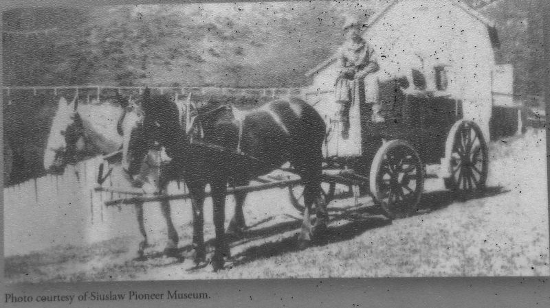
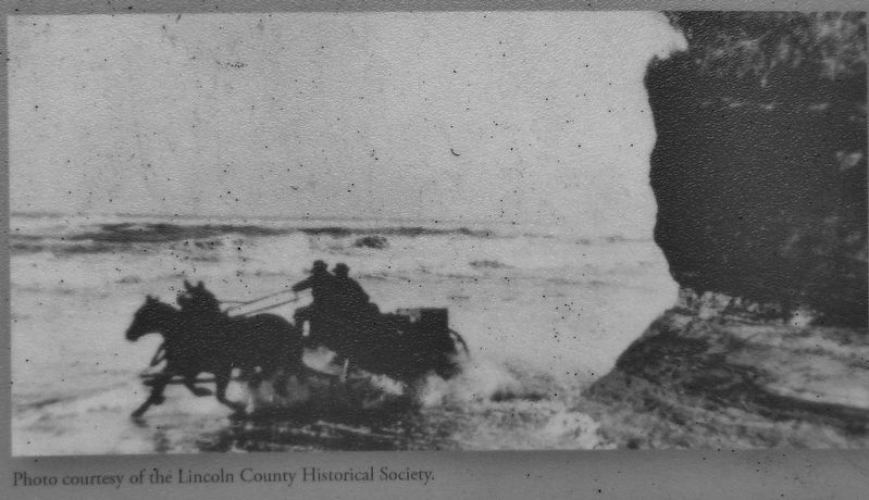
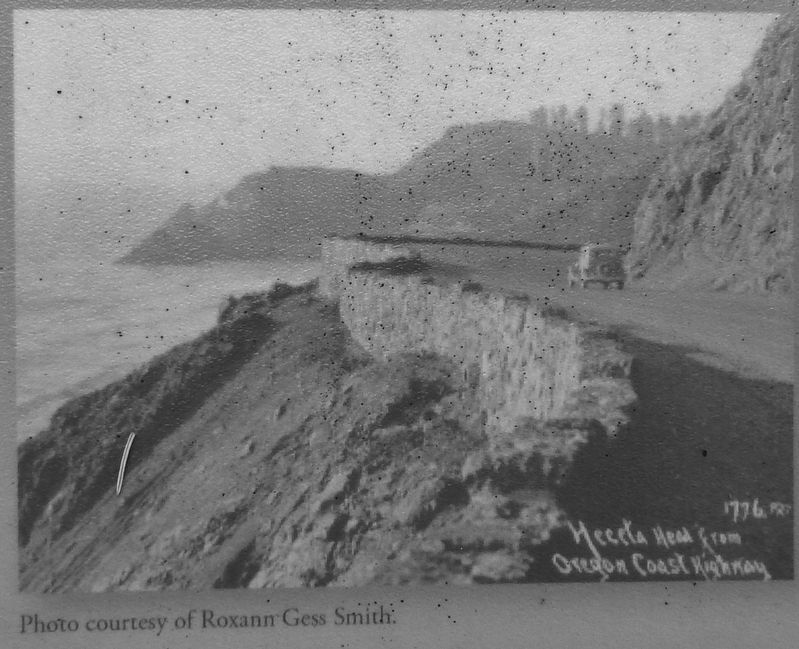
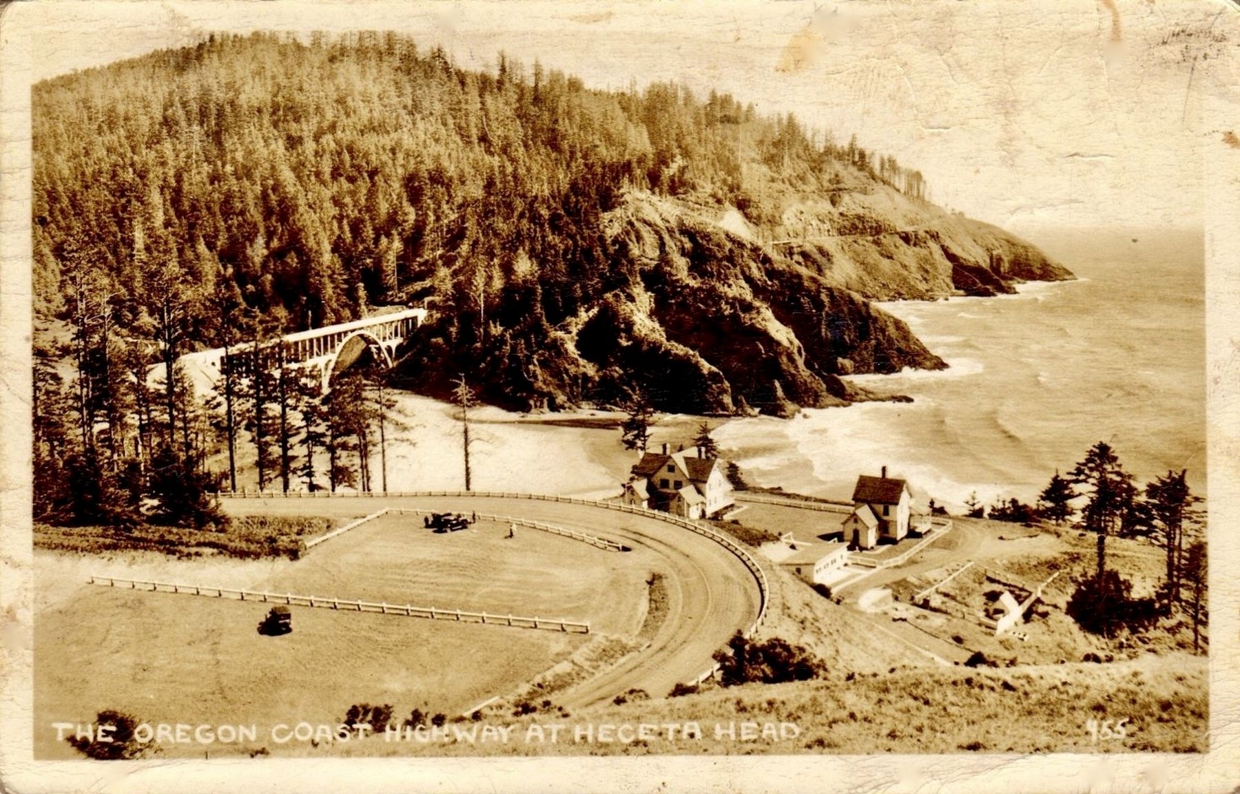
Where they could, 19th-century travelers took to the beaches – the expressways of the era. It wasn't all smooth riding though. When they came to headlands, beach travelers had to choose: make a risky low-tide dash around, or clamber up and over. Here at Heceta Head, travelers went upland, following a wagon road that passed just below the lightkeepers’ houses.
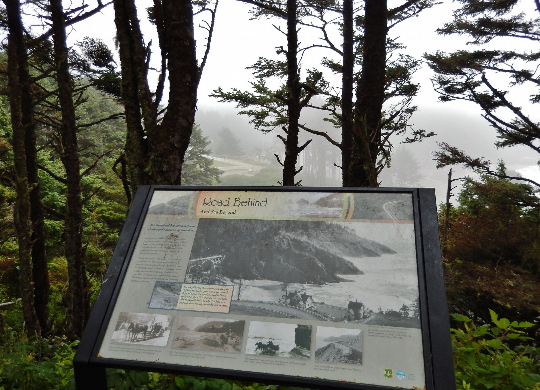
You are following the concrete trail along the cliff that the lightkeepers used to get to work day and night. The wooden boardwalk was replaced in the 1920s with the concrete path. The boardwalk had a handrail to hold onto and help show the way in the fog and at night.
Topics. This historical marker is listed in these topic lists: Native Americans • Roads & Vehicles.
Location. 44° 8.241′ N, 124° 7.618′ W. Marker is near Florence, Oregon, in Lane County. Marker can be reached from Cape Creek Road west of Oregon Coast Highway (U.S. 101) when traveling west. Marker is located at Heceta Head Lighthouse State Scenic Viewpoint, on the downhill side of Summer Street, overlooking the beach, beyond the path leading uphill from the parking lot to the Heceta Head Lighthouse. Touch for map. Marker is at or near this postal address: 725 Summer Street, Florence OR 97439, United States of America. Touch for directions.
Other nearby markers. At least 8 other markers are within 12 miles of this marker, measured as the crow flies. Designed for Seafarer Safety (within shouting distance of this marker); A Battle With the Elements (within shouting distance of this marker); Hard Work at a Lonely Light (about 400 feet away, measured in a direct line); Heceta Head Lightstation (approx. ¼ mile away); Technology Spans (approx. 0.3 miles away); Giant Spruce of Cape Perpetua (approx. 10.1 miles away); Harbor Theater (approx. 11.9 miles away); The Kyle Building (approx. 11.9 miles away). Touch for a list and map of all markers in Florence.
Also see . . . Coast Highway 101 in Oregon.
In the 19th century, the roads consisted of glorified cow paths courtesy of wagon-wheel ruts, or log roads in soggy places. Road conditions were deep mud in winter and dust clouds in summer. People got around by using the beach, where accessible. Several of Oregon's "highways" consisted of stretches of hard, smooth sand. Generations of Native Americans, then white settlers, used the beach to reach neighboring communities. The late 19th century saw the introduction of freight and passenger stage lines that took advantage of the sand. Stagecoaches were glorified wagons equipped with wide wheels - better to negotiate sand - and roll-down curtains to protect passengers against spray, rain, and airborne sand. (Submitted on January 28, 2018, by Cosmos Mariner of Cape Canaveral, Florida.)
Credits. This page was last revised on October 19, 2020. It was originally submitted on January 25, 2018, by Cosmos Mariner of Cape Canaveral, Florida. This page has been viewed 177 times since then and 15 times this year. Last updated on January 28, 2018, by Cosmos Mariner of Cape Canaveral, Florida. Photos: 1. submitted on January 25, 2018, by Cosmos Mariner of Cape Canaveral, Florida. 2. submitted on January 27, 2018, by Cosmos Mariner of Cape Canaveral, Florida. 3, 4, 5. submitted on January 28, 2018, by Cosmos Mariner of Cape Canaveral, Florida. 6. submitted on January 27, 2018. • Andrew Ruppenstein was the editor who published this page.
