Pedee in Polk County, Oregon — The American West (Northwest)
Ritner Creek Bridge
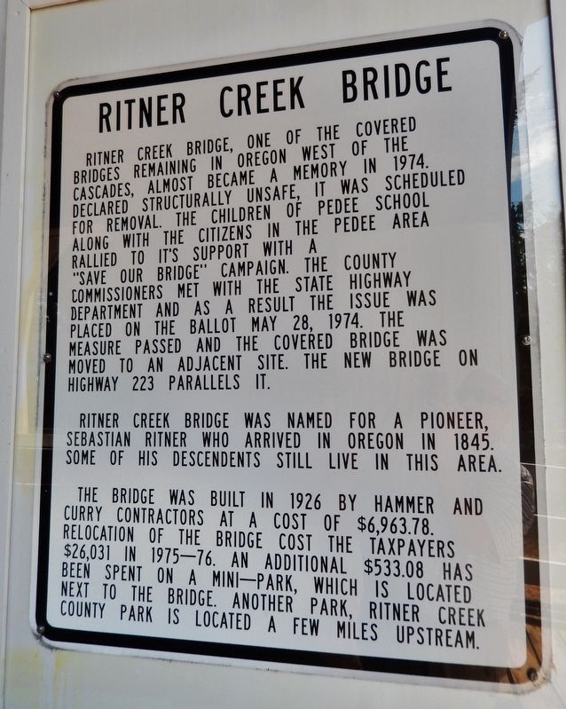
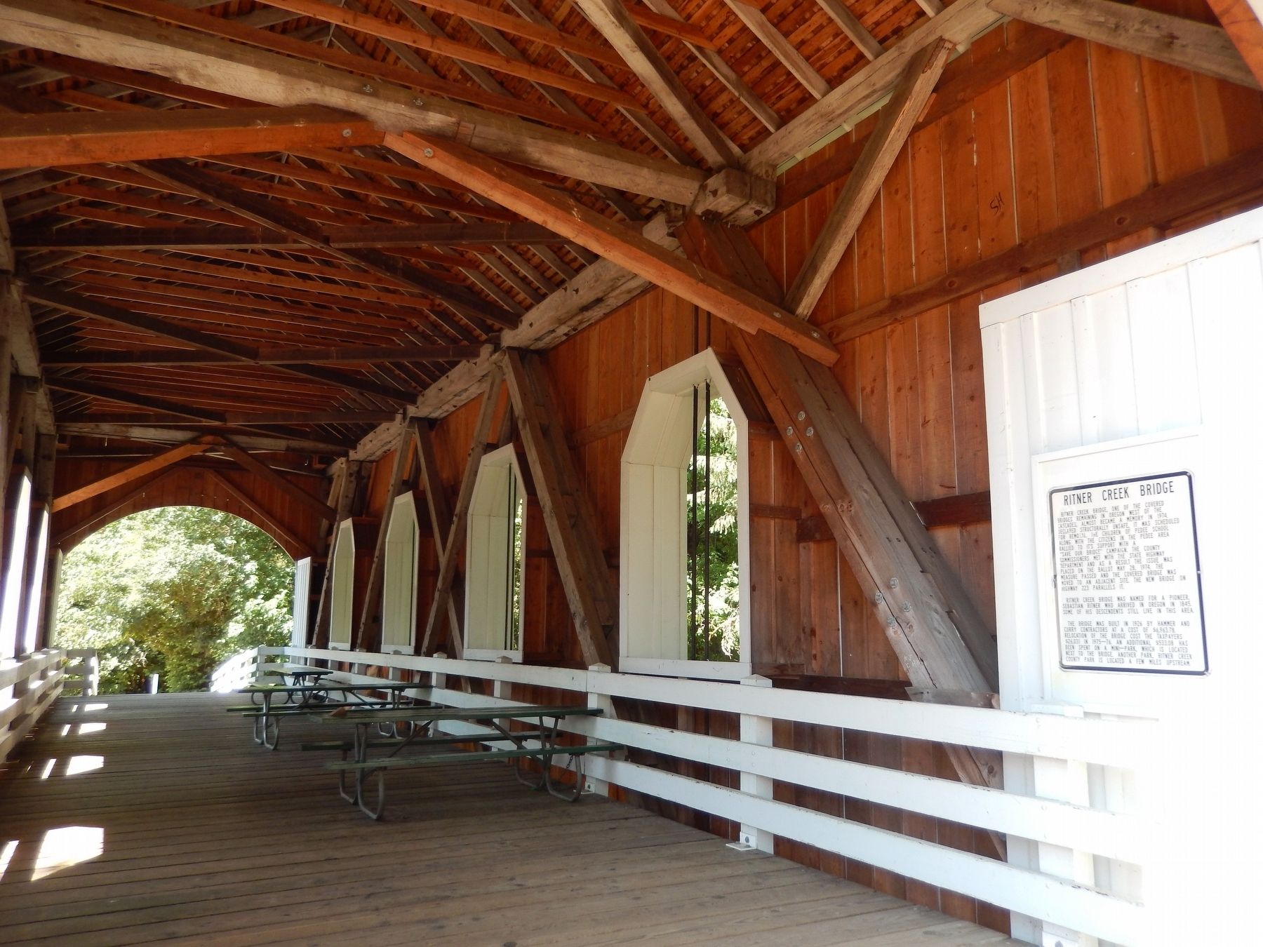
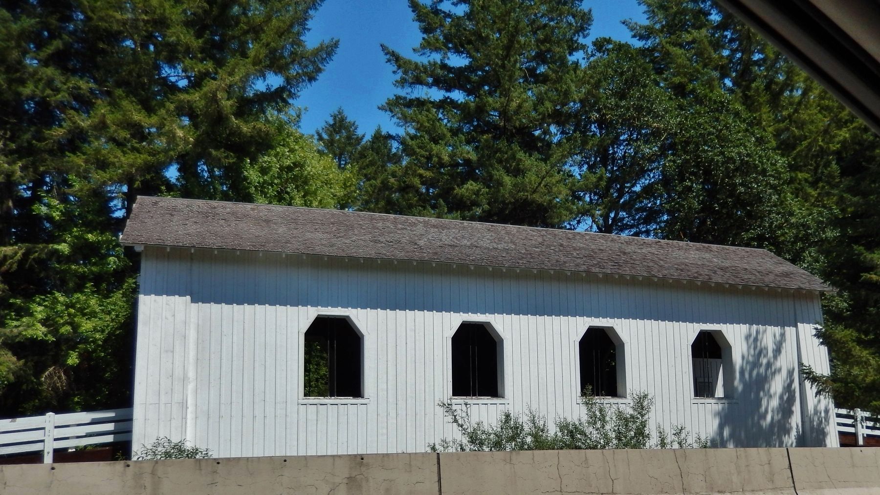
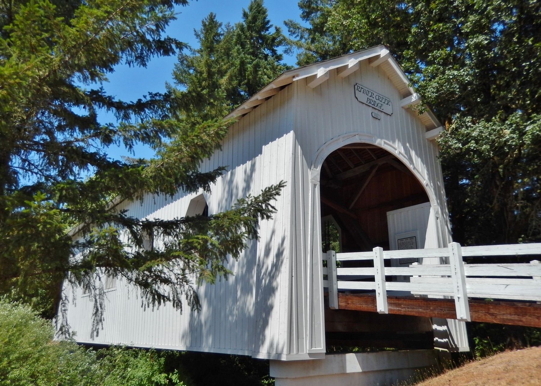
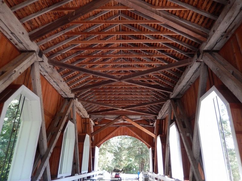
Ritner Creek Bridge, one of the covered bridges remaining in Oregon west of the Cascades, almost became a memory in 1974. Declared structurally unsafe, it was scheduled for removal. The children of Pedee School along with the citizens in the Pedee area rallied to its support with a “Save Our Bridge” campaign. The county commissioners met with the State Highway Department and as a result the issue was placed on the ballot May 28, 1974. The measure passed and the covered bridge was moved to an adjacent site. The new bridge on highway 223 parallels it.
Ritner Creek Bridge was named for a pioneer, Sebastian Ritner who arrived in Oregon in 1845. Some of his descendants still live in this area.
The bridge was built in 1926 by Hammer and Curry Contactors at a cost of $6, 963.78. Relocation of the bridge cost the taxpayers $26,031 in 1975-76. An additional $533.08 has been spent on a mini-park, which is located next to the bridge. Another park, Ritner Creek County Park is located a few miles upstream.
Topics and series. This historical marker is listed in these topic lists: Bridges & Viaducts • Man-Made Features. In addition, it is included in the Covered Bridges series list. A significant historical year for this entry is 1926.
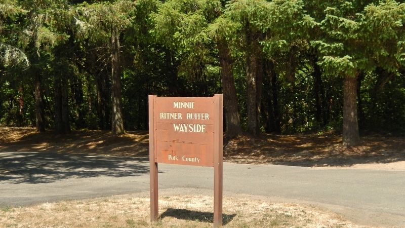
Location. 44° 43.681′ N, 123° 26.511′ W. Marker is in Pedee, Oregon, in Polk County. Marker is on Kings Valley Highway (Oregon Route 223) north of Kerber Road, on the right when traveling north. Marker is mounted directly on the subject bridge, near the south entrance. The bridge is located beside the highway, within the Minnie Ritner Ruiter Wayside. Touch for map. Marker is in this post office area: Monmouth OR 97361, United States of America. Touch for directions.
Other nearby markers. At least 8 other markers are within 14 miles of this marker, measured as the crow flies. Oak Creek’s Watershed (approx. 13.1 miles away); Ecology of the Agricultural Reach (approx. 13.1 miles away); Sustainable Farm Management (approx. 13.1 miles away); Historic Philomath College Building (approx. 13.4 miles away); Peavy Hall War Memorial (approx. 13.7 miles away); Shipley Family Homestead (approx. 13.8 miles away); Alice E. Biddle (approx. 13.8 miles away); Kearney Hall (approx. 13.9 miles away).
Regarding Ritner Creek Bridge. National Register of Historic Places (1979)
Also see . . . Ritner Creek Covered Bridge.
Although many roofed bridges continue to serve on secondary roads in Oregon, this span was the last to serve on a primary state highway. When in service, locals mounted their mailboxes inside to protect them from the weather. Covered bridges, once numbering more than 450, are disappearing from the Oregon landscape. Today there are fewer than 50 left standing, and luckily, the Ritner Creek Covered Bridge is one of them. (Submitted on January 31, 2018, by Cosmos Mariner of Cape Canaveral, Florida.)
Credits. This page was last revised on October 20, 2020. It was originally submitted on January 30, 2018, by Cosmos Mariner of Cape Canaveral, Florida. This page has been viewed 248 times since then and 17 times this year. Photos: 1. submitted on January 30, 2018, by Cosmos Mariner of Cape Canaveral, Florida. 2, 3, 4, 5, 6. submitted on January 31, 2018, by Cosmos Mariner of Cape Canaveral, Florida. • Andrew Ruppenstein was the editor who published this page.
