Reedsport in Douglas County, Oregon — The American West (Northwest)
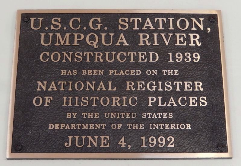
U.S.C.G. Station, Umpqua River, 1939
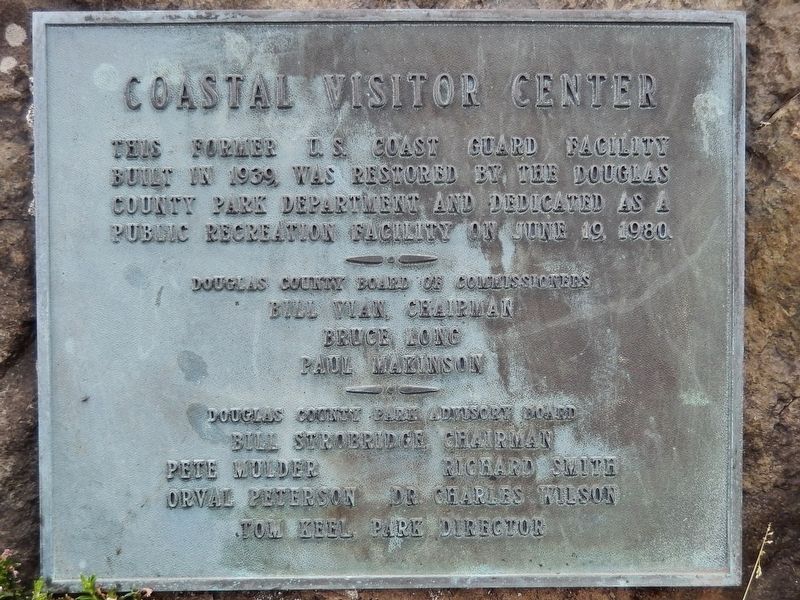
Coastal Visitor Center
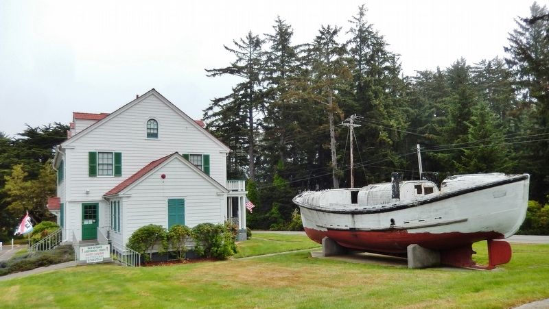
This former U.S. Coast Guard facility built in 1939, was restored by the Douglas County Park Department and dedicated as a public recreation facility on June 19, 1980.
Douglas County Board of Commissioners
Bill Vian, Chairman
Bruce Long
Paul Makinson
Douglas County Park Advisory Board
Bill Strobridge, Chairman
Pete Mulder
Richard Smith
Orval Peterson
Dr. Charles Wilson
Tom Keel, Park Director
Erected 1980 by Douglas County.
Topics. This historical marker is listed in these topic lists: Parks & Recreational Areas • Waterways & Vessels. A significant historical year for this entry is 1939.
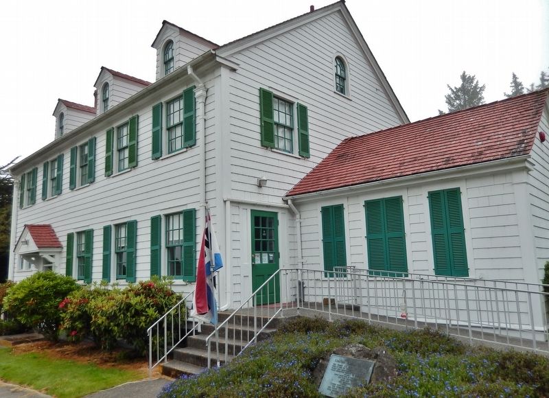
Location. 43° 39.823′ N, 124° 11.892′ W. Marker is in Reedsport, Oregon, in Douglas County. Marker is on Lighthouse Road west of Oregon Coast Highway (U.S. 101), on the right when traveling north. Marker, located within Umpqua Lighthouse State Park, is a metal tablet mounted near ground level on a large stone in front of the subject building. Touch for map. Marker is at or near this postal address: 1020 Lighthouse Road, Reedsport OR 97467, United States of America. Touch for directions.
Other nearby markers. At least 7 other markers are within 17 miles of this marker, measured as the crow flies. Umpqua River Lighthouse (about 500 feet away, measured in a direct line); History of Local Steam Donkey (approx. 5.8 miles away); What is a Steam Donkey? (approx. 5.8 miles away); Jedediah Smith (approx. 6 miles away); Gardiner (approx. 6.2 miles away); Smith, Jackson & Sublette Umpqua Memorial (approx. 6˝ miles away); Jerry Phillips Reserve (approx. 16.8 miles away).
Regarding U.S.C.G. Station, Umpqua River, 1939. National Register of Historic Places (1992)
Related markers. Click here for a list of markers that are related to this marker.
Also see . . .
1. http://www.hp-nw.com/images/Thesis/Chap07%20Umpqua.pdf.
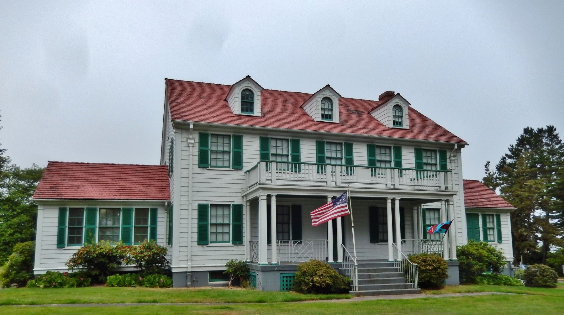
(link includes 1939 photo of the Station House) The second of the four Roosevelt-type stations to be built on the Oregon Coast. These stations followed a standard plan developed by the Coast Guard and were for the most part built during Franklin Roosevelt’s administration. The station house was completely symmetrical across the front. Colonial Revival detailing was represented by multi-pane windows flanked by operable shutters, large classical corner boards, Tuscan columns, eave returns, a water table with cap, and metal railings in classical motifs. 18 men were stationed there in 1956 and many more during WWII. (Submitted on January 30, 2018, by Cosmos Mariner of Cape Canaveral, Florida.)
2. Umpqua lifeboats continue work of generations past.
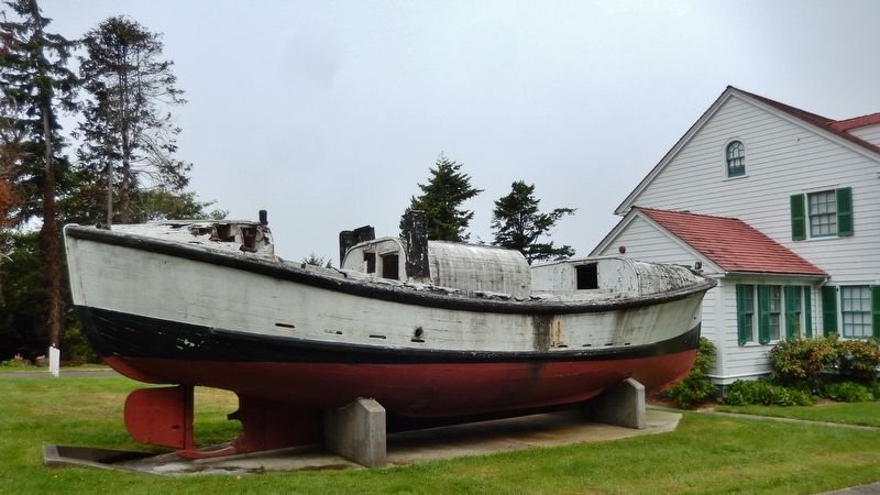
There were a scant eight men attached to the Umpqua River Lifeboat Station located on the North Spit near old Umpqua City when it opened in 1891. The men stationed at the old lifeboat station were part of the U.S. Life-Saving Service and the Revenue Cutter Service -- there was no Coast Guard. Clad in wool sweaters, the men paddled to sea in wooden whaling boats. In 1915, by Executive Order, the Life-Saving and Revenue Cutter services merged to create the U.S. Coast Guard. Using Dobbins self-bailing, self-righting wooden lifeboats, the North Spit station stayed in operation until 1939, when a new station was built near the Umpqua River Lighthouse. (Submitted on January 30, 2018, by Cosmos Mariner of Cape Canaveral, Florida.)
Credits. This page was last revised on October 14, 2020. It was originally submitted on January 30, 2018, by Cosmos Mariner of Cape Canaveral, Florida. This page has been viewed 256 times since then and 29 times this year. Photos: 1, 2, 3, 4, 5, 6. submitted on January 30, 2018, by Cosmos Mariner of Cape Canaveral, Florida. • Andrew Ruppenstein was the editor who published this page.
