Fort Rock in Lake County, Oregon — The American West (Northwest)
The Birth of a Tuff Ring
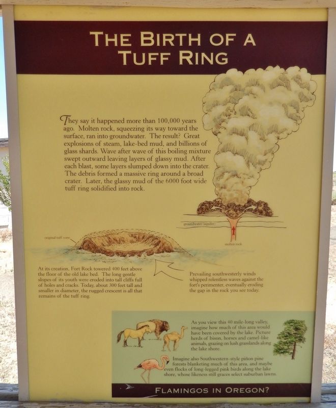
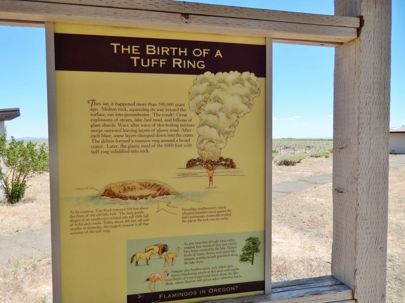
They say it happened more than 100,000 years ago. Molten rock, squeezing its way toward the surface, ran into groundwater. The result? Great explosions of steam, lake-bed mud, and billions of glass shards. Wave after wave of this boiling mixture swept outward leaving layers of glassy mud. After each blast, some layers slumped down into the crater. The debris formed a massive ring around a broad crater. Later, the glassy mud of the 6000 foot wide tuff ring solidified into rock.
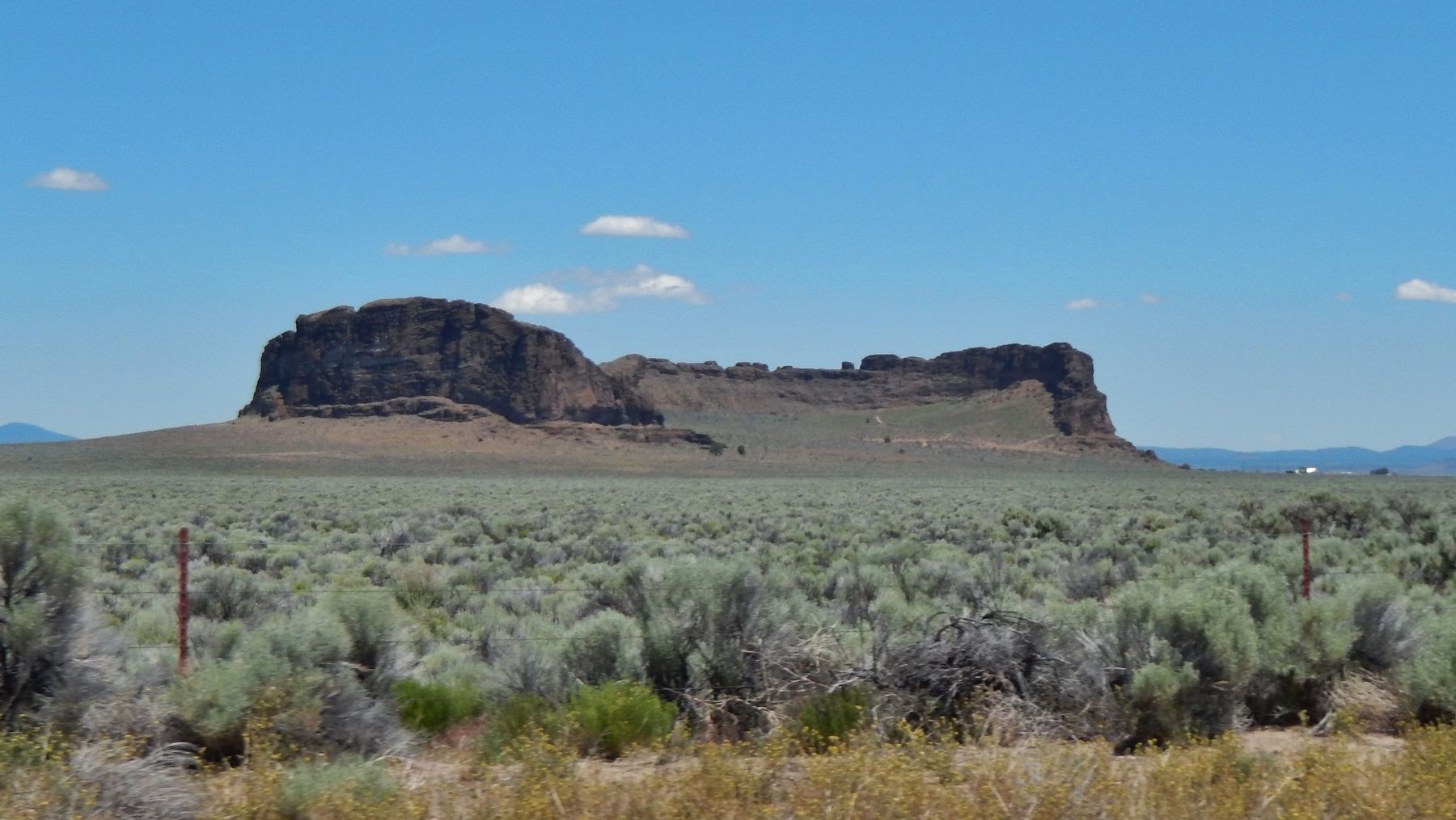
At its creation, Fort Rock towered 400 feet above the floor of the old lake bed. The long gentle slopes of its youth were eroded into tall cliffs full of holes and cracks. Today, about 300 feet tall and smaller in diameter, the rugged crescent is all that remains of the tuff ring.
Prevailing southwesterly winds whipped relentless waves against the fort’s perimeter, eventually eroding the gap in the rock you see today.
Flamingos in Oregon?
As you view this 40 mile-long valley, imagine how much of this area would have been covered by the lake. Picture herds of bison, horses and camel-like animals, grazing on lush grasslands along the lake shore.
Imagine also Southwestern-style pinon pine forests blanketing much of this area, and maybe even flocks of long-legged pink birds along the lake shore, whose likeness still graces select suburban lawns.
Topics. This historical marker is listed in this topic list: Natural Features.
Location. 43° 22.389′ N, 121° 3.966′ W. Marker is in Fort Rock, Oregon, in Lake County. Marker can be reached from County Road 5-11A west of Cabin Lake Road. Touch for map. Marker is in this post office area: Fort Rock OR 97735, United States of America. Touch for directions.
Other nearby markers. At least 8 other markers are within 2 miles of this marker, measured as the crow flies. Cowboy, Horseman, Philosopher (here, next to this marker); The First People of Fort Rock (here, next to this marker); Fort Rock State Park (here, next to this marker); Fort Rock (within shouting distance of this marker); Reuban A. "Reub" Long (within shouting distance of this marker); A Path to the Past (approx. 1.3 miles away); Home Sweet Home (approx. 1.3 miles away); Claiming the Desert (approx. 1.3 miles away). Touch for a list and map of all markers in Fort Rock.
More about this marker. Marker is just north of the parking lot in Fort Rock State Park.
Credits. This page was last revised on February 2, 2018. It was originally submitted on February 1, 2018, by Cosmos Mariner of Cape Canaveral, Florida. This page has been viewed 150 times since then and 9 times this year. Photos: 1, 2, 3. submitted on February 1, 2018, by Cosmos Mariner of Cape Canaveral, Florida. • Andrew Ruppenstein was the editor who published this page.


