Georgetown in Northwest Washington in Washington, District of Columbia — The American Northeast (Mid-Atlantic)
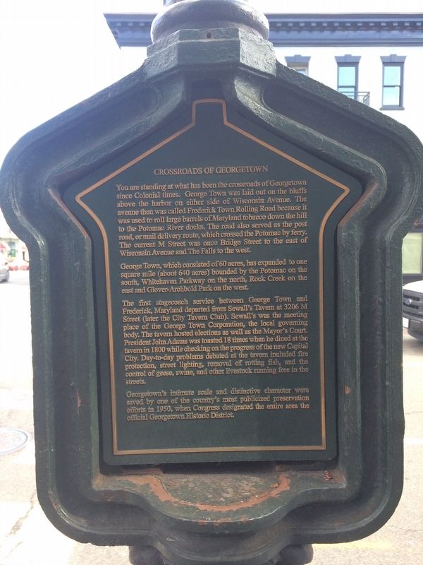
Crossroads of Georgetown
You are standing at what has been the crossroads of Georgetown since Colonial times. George Town was laid out on the bluffs above the harbor on either side of Wisconsin Avenue. The avenue then was called Frederick Town Rolling Road because it was used to roll large barrels of Maryland tobacco down the hill to the Potomac River docks. The road also served as the post road, or mail delivery route, which crossed the Potomac by ferry. The current M Street was once Bridge Street to the east of Wisconsin Avenue and The Falls to the west.
George Town, which consisted of 60 acres, has expanded to one square mile (about 640 acres) bounded by the Potomac on the south, Whitehaven Parkway on the north, Rock Creek on the east and Glover-Archbold Park on the west.
The first stagecoach service between George Town and Frederick, Maryland departed from Sewall's Tavern at 3206 M Street (later the City Tavern Club). Sewall's was the meeting place of the George Town Corporation, the local governing body. The tavern hosted elections as well as the Mayor's Court. President John Adams was toasted 18 times when he dined at the tavern in 1800 while checking on the progress of the new Capital City. Day-to-day problems debated at the tavern included fire protection, street lighting, removal of rotting fish, and the control of geese, swine, and other livestock running free in the streets.
Georgetown's intimate scale and distinctive character were saved by one of the country's most publicized preservation efforts in 1950, when Congress designated the entire area the official Georgetown Historic District.
Erected by Cultural Tourism DC.
Topics and series. This historical marker is listed in these topic lists: Government & Politics • Industry & Commerce • Roads & Vehicles • Settlements & Settlers. In addition, it is included in the DC, Art on Call, and the Former U.S. Presidents: #02 John Adams series lists.
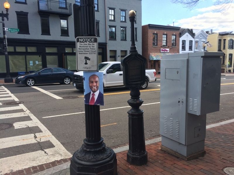
Location. 38° 54.304′ N, 77° 3.771′ W. Marker is in Northwest Washington in Washington, District of Columbia. It is in Georgetown. Marker is at the intersection of Wisconsin Avenue Northwest and M Street Northwest, on the left when traveling north on Wisconsin Avenue Northwest. Touch for map. Marker is at or near this postal address: 3200 M Street Northwest, Washington DC 20007, United States of America. Touch for directions.
Other nearby markers. At least 8 other markers are within walking distance of this marker. The City Tavern (within shouting distance of this marker); Potomac No. 5 (within shouting distance of this marker); Chesapeake & Ohio Canal (within shouting distance of this marker); The history of Canal Square
Credits. This page was last revised on January 30, 2023. It was originally submitted on February 2, 2018, by Devry Becker Jones of Washington, District of Columbia. This page has been viewed 242 times since then and 15 times this year. Photos: 1, 2, 3. submitted on February 2, 2018, by Devry Becker Jones of Washington, District of Columbia. • Bill Pfingsten was the editor who published this page.


