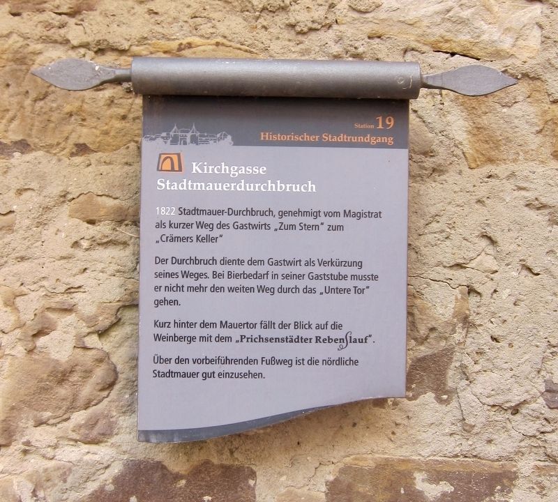
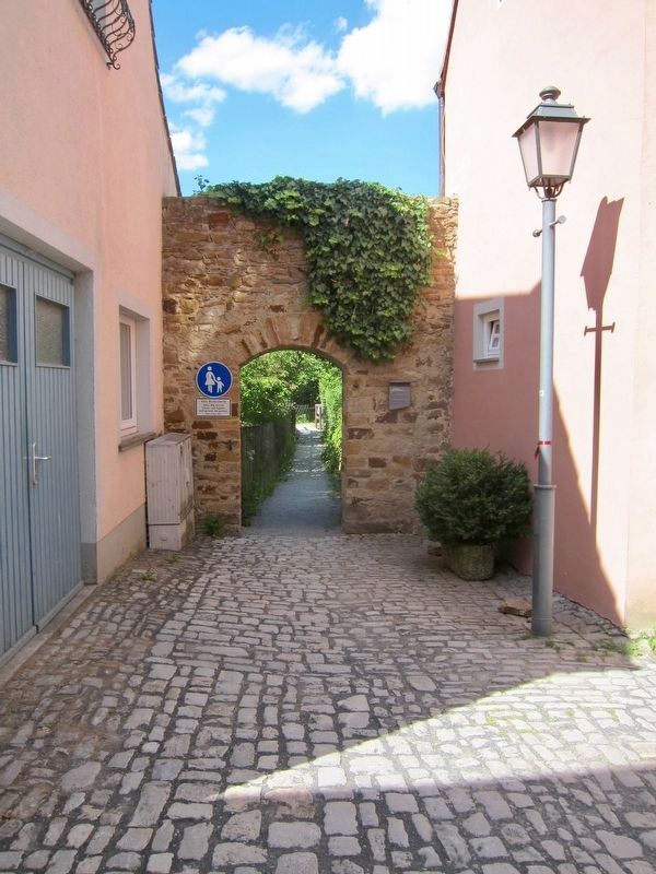
Kirchgasse Stadtmauerdurchbruch / "Church Alley" Town Wall Opening
Historischer Stadtrundgang / Historical Town Walk
Der Durchbruch diente dem Gastwirt als Verkürzung seines Weges. Bei Bierbedarf in seiner Gaststube musste er nicht mehr den weiten Weg durch das „Untere Tor" gehen.
Kurz hinter dem Mauertor fällt der Blick auf die Weinberge mit dem „Prichsenstädter Rebenslauf.
Über den vorbeiführenden Fußweg ist die nördliche Stadtmauer gut einzusehen.
In 1822, an opening in the town wall was approved by the magistrate as a short walk from the "At the Star" Inn to "Cramer's Cellar".
The opening in the wall served as a shortcut for the innkeeper, as when he needed beer for his inn, he no longer had to go the long way through the "Lower Gate".
Just beyond the wall gate, one can see the Prichsenstadt Vineyard Footpath and vineyards.
From that passing footpath, the north section of the town wall is easy to see. (Marker Number 19.)
Topics. This historical marker is listed in these topic lists: Forts and Castles
Location. 49° 49.098′ N, 10° 21.251′ E. Marker is in Prichsenstadt, Bayern (Bavaria), in Kitzingen. Marker is on Kirchgasse just west of Freihofgasse, on the left when traveling east. Touch for map. Marker is in this post office area: Prichsenstadt BY 97357, Germany. Touch for directions.
Other nearby markers. At least 8 other markers are within walking distance of this marker. Synagoge / Synagogue (within shouting distance of this marker); Schulinstrasse 1 (within shouting distance of this marker); Schulinstrasse 7 (within shouting distance of this marker); Karlsplatz 9 (about 90 meters away, measured in a direct line); Karlsplatz 7 (about 90 meters away); Schulinstrasse 14 (about 120 meters away); Stadtturm / City Tower (about 150 meters away); Luitpoldstrasse 5/7 (about 180 meters away). Touch for a list and map of all markers in Prichsenstadt.
More about this marker. When heading north on Kirchgasse ("Church Alley"), the alley turns right (east) just after passing the rear of the church. Just after it turns, after 3 more houses, there is a narrow walkway between houses that leads from the alley to the entryway through the wall. It isn't hard to find, although it would also be easy to miss if one were not looking for it.
Credits. This page was last revised on January 28, 2022. It was originally submitted on February 2, 2018, by Andrew Ruppenstein of Lamorinda, California. This page has been viewed 137 times since then and 5 times this year. Photos: 1, 2. submitted on February 2, 2018, by Andrew Ruppenstein of Lamorinda, California.

