Williamsburg in James City County, Virginia — The American South (Mid-Atlantic)
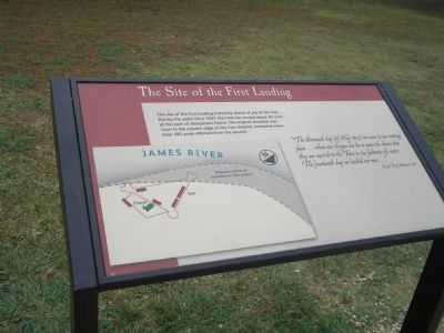
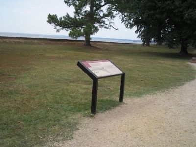
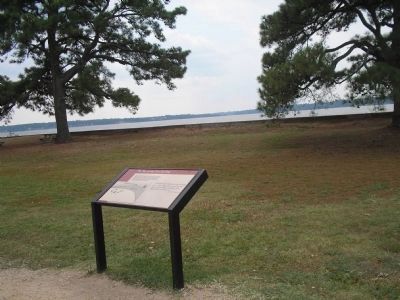
The Site of the First Landing
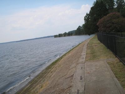
“The thirteenth day {of May 1607} we came to our seating place … where our shippes doe lie so neere the shoare that they are moored to the Trees in six fathom{s of} water. The fourteenth day we landed our men …”
George Percy, Relations, 1608.
Erected by Colonial National Historical Park, National Park Service.
Topics. This historical marker is listed in these topic lists: Colonial Era • Notable Events • Notable Places. A significant historical month for this entry is May 1607.
Location. 37° 12.585′ N, 76° 46.828′ W. Marker is in Williamsburg, Virginia, in James City County. Marker can be reached from Colonial Parkway, on the right when traveling west. Marker is in the "Old Towne" section of the Historic Jamestown unit of Colonial National Historic Park. Touch for map. Marker is in this post office area: Williamsburg VA 23185, United States of America. Touch for directions.
Other nearby markers. At least 8 other markers are within walking distance of this marker. Sealing of the Magna Carta (here, next to this marker); In Memory of Early Settlers (a few steps from this marker); The Archaearium (within shouting distance of this marker); These Foundations (within shouting distance of this marker); The English Inns of Court (about 300 feet away, measured in a direct line); Statehouse Foundations (about 300 feet away); The Statehouse (about 300 feet away); The Hunt Shrine (about 300 feet away). Touch for a list and map of all markers in Williamsburg.
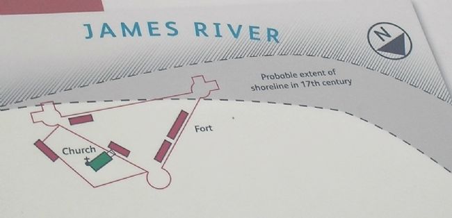
More about this marker. The right of the map features a map of the present day and 1607 shoreline in relation to the James Fort.
Also see . . .
1. Historic Jamestowne. Colonial National Historic Park from National Park Service website. (Submitted on September 11, 2008, by Bill Coughlin of Woodland Park, New Jersey.)
2. Historic Jamestowne. Historic Jamestowne is the site of the first permanent English settlement in America. The site is jointly administered by APVA Preservation Virginia and the National Park Service. (Submitted on September 11, 2008, by Bill Coughlin of Woodland Park, New Jersey.)
Credits. This page was last revised on June 16, 2016. It was originally submitted on September 11, 2008, by Bill Coughlin of Woodland Park, New Jersey. This page has been viewed 992 times since then and 13 times this year. Photos: 1, 2. submitted on September 11, 2008, by Bill Coughlin of Woodland Park, New Jersey. 3. submitted on March 15, 2009, by Bill Coughlin of Woodland Park, New Jersey. 4, 5. submitted on September 11, 2008, by Bill Coughlin of Woodland Park, New Jersey.
