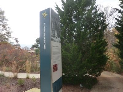
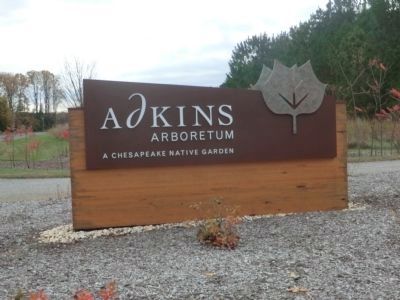
Near Jumptown in Caroline County, Maryland — The American Northeast (Mid-Atlantic)
Adkins Arboretum
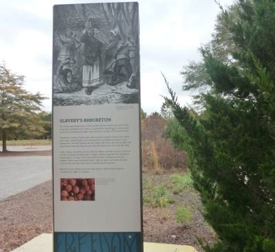
Slavery's Arboretum
— Harriet Tubman Underground Railroad Byway —
The forests and waterways of the Eastern Shore, traditional land of the Choptank and Nanticoke Indians, provided the backup for the austere home life, backbreaking labor, and dramatic escapes of enslaved blacks.
Hundreds of acres of white oak, black walnut, poplar, hickory and sweet gum trees, located near river transportation provided income to local landowners. Harriet Tubman and her father Ben Ross not only graded and harvested timber, but Harriet also learned lessons for living off the land.
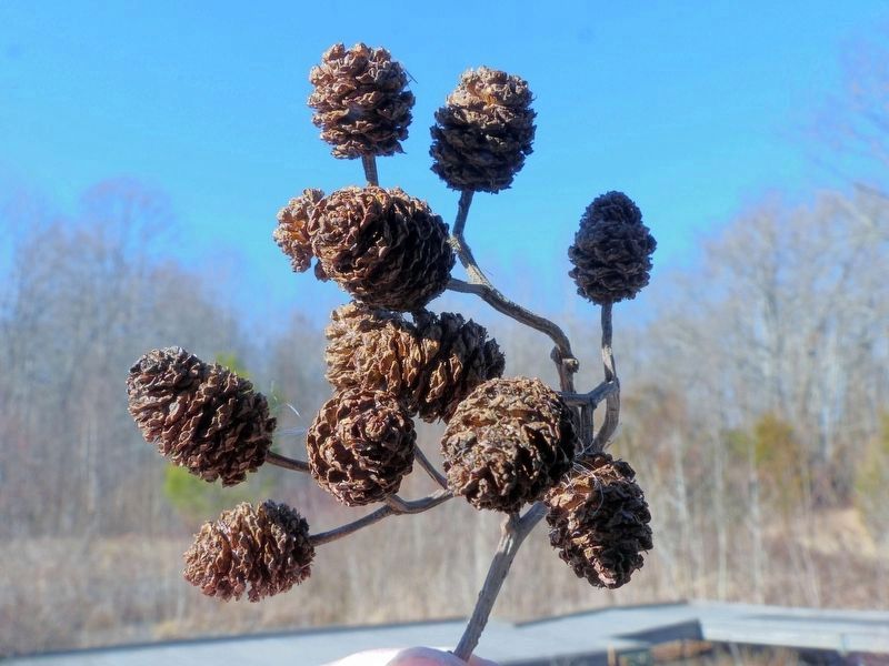
Little things, learned by living close to nature, spelled success or failure on the Underground Railroad. Freedom seekers applied their practical knowledge to survive. Fruit trees offered food. Greenbrier thickets ripped clothes and scratched bodies. Spiked sweet gum balls pierced hurried feet, but the tree’s resin soothed painful wounds.
Walk the trails ahead and enter the natural lifeline that helped or hindered the flight to freedom.
[Caption:]
Left: The spiny fruit of sweet gum tree is easy to recognize. A pioneer tree, sweet gum often sprout in areas that have been logged.
Erected by America's Byways; Maryland Heritage Area Authority. (Marker Number 35.)
Topics and series. This historical marker is listed in these topic lists: Abolition & Underground RR • African Americans. In addition, it is included in the Harriet Tubman Underground Railroad Byway series list.
Location. 38° 57.216′ N, 75° 56.016′ W. Marker is near Jumptown, Maryland, in Caroline County. Marker is on Eveland Road. Touch for map. Marker is at or near this postal address: 12610 Eveland Road, Ridgely MD 21660, United States of America. Touch for directions.
Other nearby markers. At least 8 other markers are within 3 miles of this marker, measured as the crow flies. Wood Ducks (within shouting distance of this marker); Ridgely, MD 1888 - 1917 (approx. 2˝ miles away); Frederick Douglass (approx. 2.6 miles away); Ridgely Railroad Station (approx. 2.6 miles away); Ridgely Memorial Park (approx. 2.6 miles away); St. Paul’s Episcopal Church (approx. 2.7 miles away); The Drinking Fountain (approx. 2.7 miles away); Saulsbury House - Fifer Hospital - Ridgely House (approx. 2.7 miles away).
Photographed By Allen C. Browne, January 19, 2018
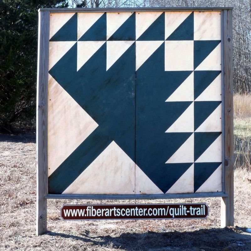
6. Pine Tree Quilt
at Adkin's Arboretum
at Adkin's Arboretum
“In the 19th century, the timbering industry dominated the economic wealth of the Eastern Shore. Slaves like Harriet Tubman and her family worked in the various aspects of the trade. Mills in the area became a source of employment for both slaves and freemen of color. Timber was then transported around the area to support the shipbuilding industry.” - Quilt Trail Pamphlet.
Credits. This page was last revised on September 5, 2022. It was originally submitted on December 3, 2014, by Don Morfe of Baltimore, Maryland. This page has been viewed 499 times since then and 22 times this year. Last updated on February 7, 2018, by Allen C. Browne of Silver Spring, Maryland. Photos: 1. submitted on December 3, 2014, by Don Morfe of Baltimore, Maryland. 2. submitted on September 5, 2022, by Devry Becker Jones of Washington, District of Columbia. 3, 4. submitted on December 3, 2014, by Don Morfe of Baltimore, Maryland. 5, 6. submitted on February 7, 2018, by Allen C. Browne of Silver Spring, Maryland. • Bill Pfingsten was the editor who published this page.
![Adkins Arboretum Marker [Reverse]. Click for full size. Adkins Arboretum Marker [Reverse] image. Click for full size.](Photos6/676/Photo676744.jpg?95202230500PM)
