Mineral de Pozos in San Luis de la Paz, Guanajuato, Mexico — The Central Highlands (North America)
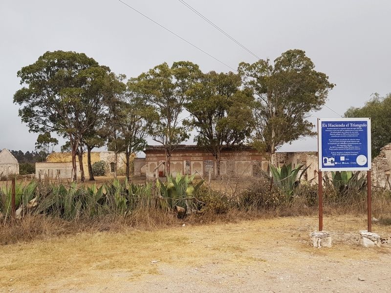
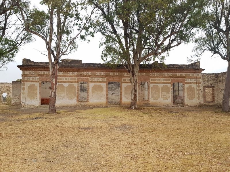
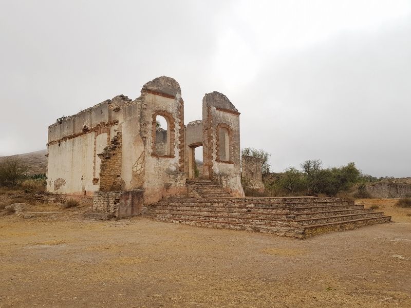
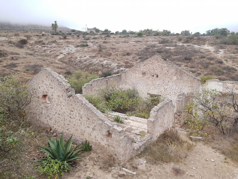
Ex-Hacienda El Triángulo
fue inevitable la inundación de todas las minas. esta es la única hacienda donde dejaron toda la maquinaria que utilizaban y posteriormente esta fue saqueada y robada. En 1997 la compañía TriStar Pictures viene a Pozos y graba escenas de la película la mascara
Anthony Hopkins y Catherine Zeta Jones, frente al tiro principal de la hacienda
…the flooding of all the mines was inevitable. This is the only hacienda where all of its machinery and equipment was left and later looted and stolen. In 1997 TriStar Pictures came to Pozos and filmed scenes for the movie The Mask of Zorro.
Anthony Hopkins and Catherine Zeta Jones can be seen in front of the hacienda in one of the movie’s scenes.
Topics. This historical marker is listed in these topic lists: Entertainment • Industry & Commerce • Man-Made Features. A significant historical year for this entry is 1923.
Location. 21° 13.337′ N, 100° 30.751′ W. Marker is in Mineral de Pozos, Guanajuato, in San Luis de la Paz. Marker is on Unnamed road, on the left when traveling east. The marker is on the road that comes into Mineral de Pozos towards the east from Highway 57. The road contains other notable former mines and haciendas. Touch for map. Marker is in this post office area: Mineral de Pozos GTO 37600, Mexico. Touch for directions.
Other nearby markers. At least 8 other markers are within 3 kilometers of this marker, measured as the crow flies. Angustias Mine (approx. 0.3 kilometers away); Mine and Former Hacienda of Los Cinco Señores (approx. 0.7 kilometers away); Hacienda Baldomero (approx. 0.7 kilometers away); The Model School (approx. 1.2 kilometers away); Aqueduct (approx. 1.2 kilometers away); J. Encarnación Olguín and Juana Lucio (approx. 1.8 kilometers away); Old City Hall (approx. 1.8 kilometers away); City Cemetery (approx. 2.3 kilometers away). Touch for a list and map of all markers in Mineral de Pozos.
Credits. This page was last revised on February 7, 2018. It was originally submitted on February 7, 2018, by J. Makali Bruton of Accra, Ghana. This page has been viewed 988 times since then and 108 times this year. Photos: 1, 2, 3, 4, 5, 6. submitted on February 7, 2018, by J. Makali Bruton of Accra, Ghana.


