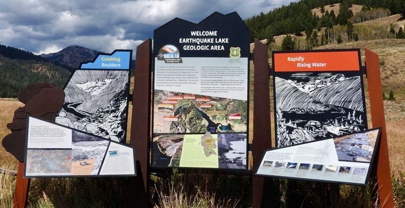
Earthquake Lake Geologic Area
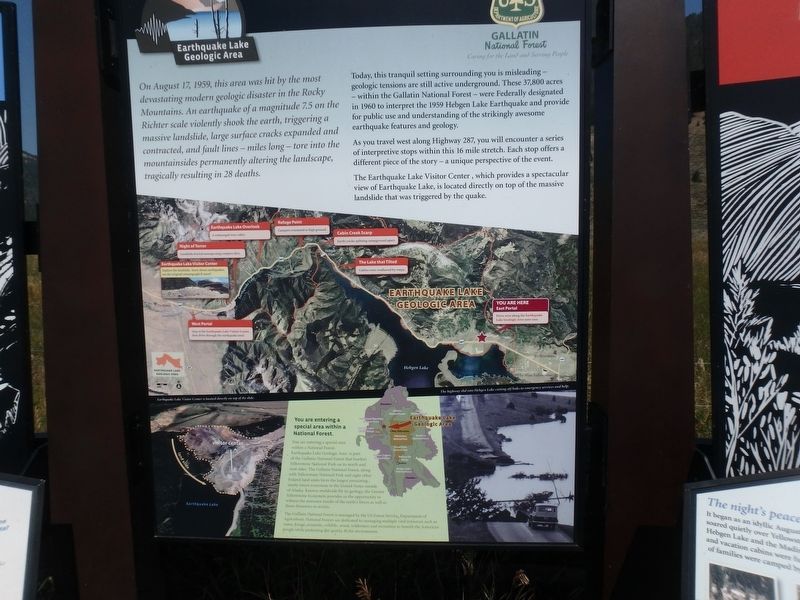
Today, this tranquil setting surrounding you is misleading – geologic tensions are still active underground. These 37,800 acres – within the Gallatin National Forest – were federally designated in 1960 to interpret the 1959 Hebgen Lake Earthquake and provide for public use and understanding of the strikingly awesome earthquake features and geology.
As you travel west along highway 287, you will encounter a series of stops within this 16 mile stretch. Each stop offers a different piece of the story – a unique perspective of the event.
The Earthquake Lake Visitor Center , which provides a spectacular view of Earthquake Lake, is located directly on top of the massive landslide that was triggered by the quake.
(Caption above right picture)
The highway slid into Hebgen Lake cutting off links to emergency services and help.
Erected by Gallatin National Forest
Topics. This historical marker is listed in these topic lists: Disasters • Environment • Roads & Vehicles. A significant historical year for this entry is 1959.
Location. 44° 48.238′ N, 111° 11.287′ W. Marker is in West Yellowstone, Montana, in Gallatin County. Marker is on U.S. 287, 4 miles west of U.S. 191, on the right when traveling west. Touch for map. Marker is in this post office area: West Yellowstone MT 59758, United States of America. Touch for directions.
Other nearby markers. At least 8 other markers are within 9 miles of this marker, measured as the crow flies. The Night’s Peace Was Shattered (here, next to this marker); Geologists' Dream (here, next to this marker); Hebgen Lake and Quake Lake (approx. one mile away); Sleep Interrupted (approx. 7.4 miles away); The Lake that Tilted (approx. 7.6 miles away); Something is terribly wrong (approx. 7.6 miles away); A Leap Just in Time (approx. 7.7 miles away); The Night the Earth Cracked (approx. 8.9 miles away). Touch for a list and map of all markers in West Yellowstone.
Credits. This page was last revised on May 29, 2018. It was originally submitted on February 7, 2018, by Martin Schrattenholzer of Renton, Washington. This page has been viewed 378 times since then and 27 times this year. Photos: 1. submitted on February 7, 2018, by Martin Schrattenholzer of Renton, Washington. 2. submitted on May 29, 2018, by Craig Baker of Sylmar, California. • Andrew Ruppenstein was the editor who published this page.

