Oroville in Butte County, California — The American West (Pacific Coastal)
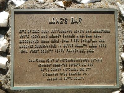
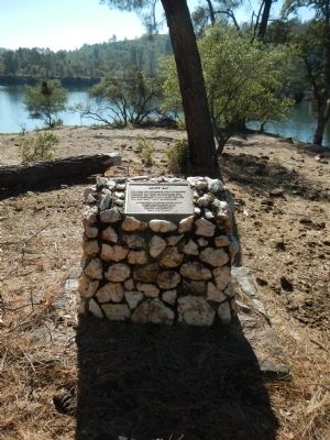
Long's Bar
Erected 1982 by Butte County Historical Society, Pair-O-Dice E Clampus Vitus Chapter 7 – 11 & Masons of Butte County. (Marker Number BUT-012.)
Topics and series. This historical marker is listed in this topic list: Settlements & Settlers. In addition, it is included in the E Clampus Vitus series list. A significant historical year for this entry is 1848.
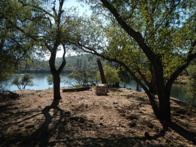
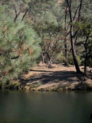
Location. 39° 32.483′ N, 121° 31.486′ W. Marker is in Oroville, California, in Butte County. Marker can be reached from Cherokee Road. This marker is located on the north side of the Thermalito Diversion Pool. To access this marker take Cherokee Road north and exit right to the Thermalito Diversion Pool Recreation Area. Drive to the end of the road, park and take the trail approximately 1 1/2 miles to the marker. Touch for map. Marker is in this post office area: Oroville CA 95965, United States of America. Touch for directions.
Other nearby markers. At least 8 other markers are within 3 miles of this marker, measured as the crow flies. Morris Ravine School (approx. 0.4 miles away); Pioneer Miners Of Thompson Flat District (approx. 1.3 miles away); Pioneer Cemetery (approx. 1.3 miles away); Oroville Dam (approx. 1.8 miles away); The Last Yahi Indian (approx. 2 miles away); Site of the First Flour Mill (approx. 2.3 miles away); Site of 1st Sawmill (approx. 2.3 miles away); Northern California's Oldest Citrus Tree (approx. 2.4 miles away). Touch for a list and map of all markers in Oroville.
Credits. This page was last revised on February 9, 2018. It was originally submitted on October 28, 2013, by Barry Swackhamer of Brentwood, California. This page has been viewed 1,012 times since then and 62 times this year. Last updated on February 9, 2018, by Douglass Halvorsen of Klamath Falls, Oregon. Photos: 1, 2, 3, 4. submitted on October 28, 2013, by Barry Swackhamer of Brentwood, California.


