Midtown - Downtown in Columbia in Richland County, South Carolina — The American South (South Atlantic)
Burning Of Columbia
(side 1)
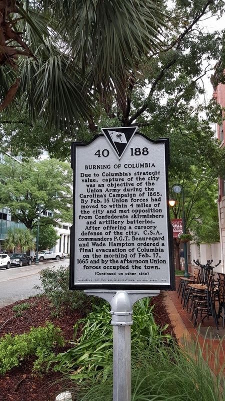
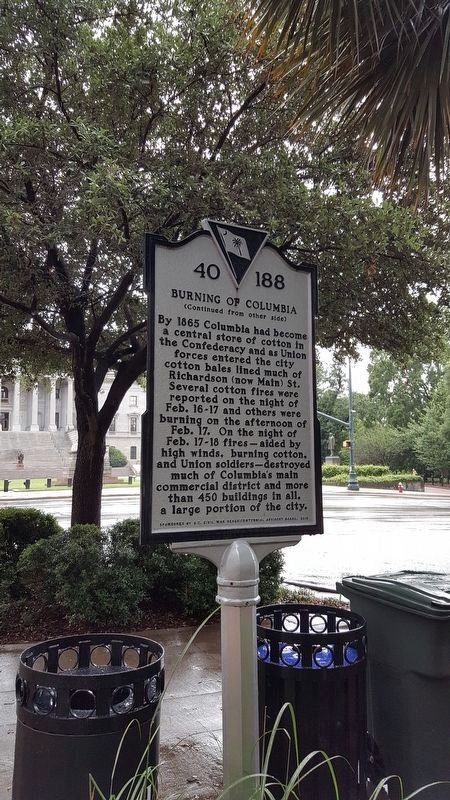
Due to Columbia's strategic value, capture of the city was an objective of the Union Army during the Carolina's Campaign of 1865. By Feb. 15 Union forces had moved to within 4 miles of the city and met opposition from Confederate skirmishes and artillery batteries. After offering a cursory defense of the city, C.S.A. commanders P.G.T. Beauregard and Wade Hampton ordered a final evacuation of Columbia on the morning of Feb. 17, 1865 and by the afternoon Union forces occupied the town.
Erected 2015 by S.C. Civil War Sesquicentennial Advisory Board. (Marker Number 40-188.)
Topics. This historical marker is listed in this topic list: War, US Civil. A significant historical date for this entry is February 15, 1865.
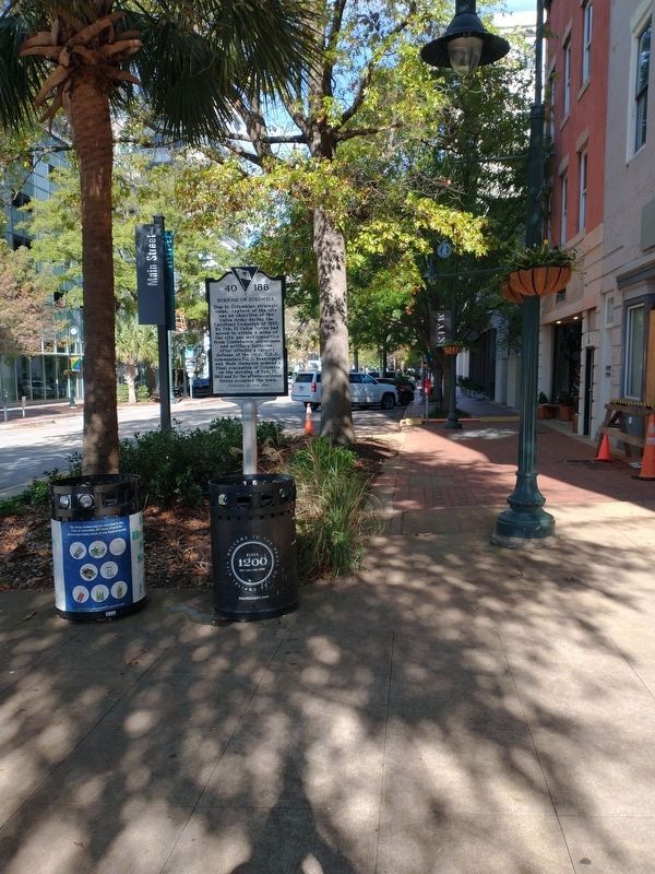
Location. 34° 0.09′ N, 81° 2.012′ W. Marker is in Columbia, South Carolina, in Richland County. It is in Midtown - Downtown. Marker is at the intersection of Main Street and Gervais Street, on the right when traveling north on Main Street. Touch for map. Marker is at or near this postal address: 1204 Main Street, Columbia SC 29201, United States of America. Touch for directions.
Other nearby markers. At least 8 other markers are within walking distance of this marker. Edwards v. S.C. (a few steps from this marker); Columbia SC 63 (within shouting distance of this marker); Columbia In The 1960's (within shouting distance of this marker); The North-South Streets in The City Of Columbia / Richardson Street (within shouting distance of this marker); South Carolina Confederate Monument (within shouting distance of this marker); The East-West Streets In The City Of Columbia - Gervais Street (within shouting distance of this marker); The Architecture of Strength (within shouting distance of this marker); Spanish-American War Veterans Monument (within shouting distance of this marker). Touch for a list and map of all markers in Columbia.
Credits. This page was last revised on February 16, 2023. It was originally submitted on February 11, 2018, by Pat Filippone of Stockton, California. This page has been viewed 494 times since then and 29 times this year. Photos: 1, 2. submitted on February 11, 2018, by Pat Filippone of Stockton, California. 3. submitted on November 15, 2022, by Craig Doda of Napoleon, Ohio. • Bernard Fisher was the editor who published this page.


