Lakota Hills in Golden in Jefferson County, Colorado — The American Mountains (Southwest)
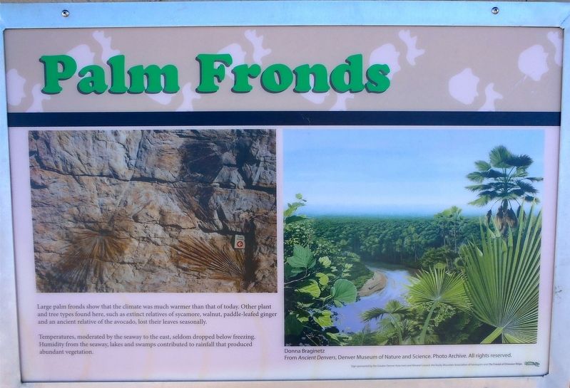
Palm Fronds
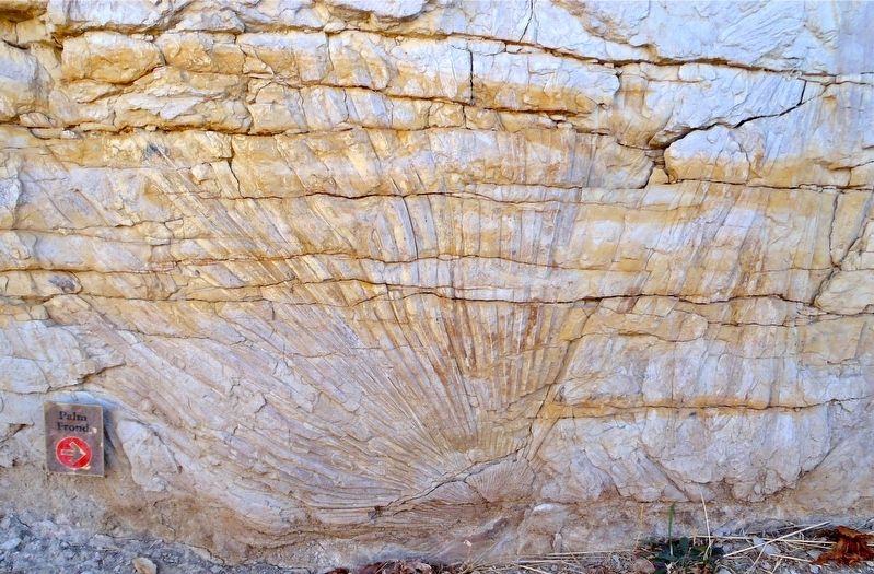
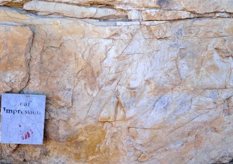
Large palm fronds show that the climate was much warmer than that of today. Other plant and tree types found here, such as extinct relatives of sycamore, walnut, paddle-leafed ginger and an ancient relative of the avocado, lost their leaves seasonally.
Temperatures, moderated by the seaway to the east, seldom dropped below freezing. Humidity from the seaway, lakes and swamps contributed to rainfall that produced abundant vegetation.
Erected by Erected by The Greater Denver Area Gem and Mineral Council, the Rocky Mountain Association of Geologists, and the Friends of Dinosaur Ridge.
Topics. This historical marker is listed in these topic lists: Environment • Paleontology.
Location. 39° 44.598′ N, 105° 13.167′ W. Marker is in Golden, Colorado, in Jefferson County. It is in Lakota Hills. The marker is found on the 1.5 mile Triceratops Trail which starts at the Triceratops Trail marker on the Bike Path south of Jones Road and Prospect Park. Park east of the junction of 6th Ave (US 6) and 19th Street. Touch for map. Marker is in this post office area: Golden CO 80401, United States of America. Touch for directions.
Other nearby markers. At least 8 other markers are within walking distance of this marker. Triceratops Tracks (here, next to this marker); Bird Track (a few steps from this marker); Triceratops Trail (about 500 feet away, measured in a direct line); Colorado School Of Mines (approx. 0.7 miles away); Stop 7: Laramie Formation (68 mya) Clay Pits Fault, Fire Clay Mining, Reclamation (approx. 0.7 miles away); Stop 7a: White Ash Mine (approx. ¾ mile away); White Ash Mine Disaster (approx. ¾ mile away); The Astor House (approx. 0.8 miles away). Touch for a list and map of all markers in Golden.
Also see . . .
1. Triceratops Trail. City of Golden website entry (Submitted on February 13, 2018, by Alan M. Perrie of Unionville, Connecticut.)
2. Triceratops Trail. Go Hike Colorado website entry (Submitted on February 13, 2018, by Alan M. Perrie of Unionville, Connecticut.)
3. What Are Palm Tree Fronds?. Hunker website entry (Submitted on February 13, 2018, by Alan M. Perrie of Unionville, Connecticut.)
4. 11 Best Backpacking Trails Colorado- Every Backpacker’s Heaven. Explore Traveler website entry:
Colorado is one of the States with the greatest variety of dream places, with activities for tourism and recreation, where you can experience the best of vacations. (Submitted on September 17, 2020, by John Gentry of Albuquerque, New Mexico.)
Credits. This page was last revised on April 15, 2023. It was originally submitted on February 13, 2018, by Alan M. Perrie of Unionville, Connecticut. This page has been viewed 231 times since then and 10 times this year. Photos: 1, 2, 3. submitted on February 13, 2018, by Alan M. Perrie of Unionville, Connecticut. • Andrew Ruppenstein was the editor who published this page.


