Oregon City in Clackamas County, Oregon — The American West (Northwest)
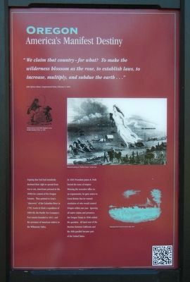
Oregon
America's Manifest Destiny

Photographed By Barry Swackhamer, September 25, 2017
1. Oregon Marker
Captions: (upper left) British cartoon of John Bull (England) versus Brother Jonathan (USA), ca. 1845.; (upper right) Allegorical painting of "Manifest Destiny: by John Cast.; (lower right) Engraving of Fort Astoria by James Agate 1841.
Arguing that God had manifestly destined their right to spread from sea to sea, Americans pressed in the 1840s for control of the Oregon Country. They pointed to Gray's "discovery" of the Columbia River in 1792, Lewis and Clark's expedition of 1804-06, the Pacific Fur Company's Fort Astoria founded in 1811, and the presence of American settlers in the Willamette Valley.
In 1845 President James K. Polk forced the issue of empire. Winning the executive office as an expansionist, he gave notice to Great Britain that he wanted resolution of who would control Oregon within one year. Ignoring all native claims and presence, the Oregon Treaty of 1846 settled the question. All lands west of the Rockies between California and the 49th parallel became part of the United States.
Erected by End of the Oregon Trail Interpretive Center.
Topics and series. This historical marker is listed in these topic lists: Government & Politics • Notable Events • Settlements & Settlers . In addition, it is included in the Former U.S. Presidents: #06 John Quincy Adams series list.
Location. 45° 21.862′ N, 122° 35.699′ W. Marker is in Oregon City, Oregon, in Clackamas County. Marker can be reached from Washington Street near Abernethy Road, on the right when traveling north. Touch for map. Marker is at or near this postal address: 1726 Washington Street, Oregon City OR 97045, United States of America. Touch for directions.
Other nearby markers. At least 8 other markers are within walking distance of this marker. Dr. John McLoughlin (here, next to this marker); The Confederate Tribes of Grande Ronde Today (here, next to this marker); To The Banks Of The Willamette (here, next to this marker); Coyote Creates Willamette Falls (a few steps from this marker); The Trail of Tears (a few steps from this marker); a different marker also named Coyote Creates Willamette Falls (a few steps from this marker); Wagons (a few steps from this marker); Clackamas Chinook (a few steps from this marker). Touch for a list and map of all markers in Oregon City.
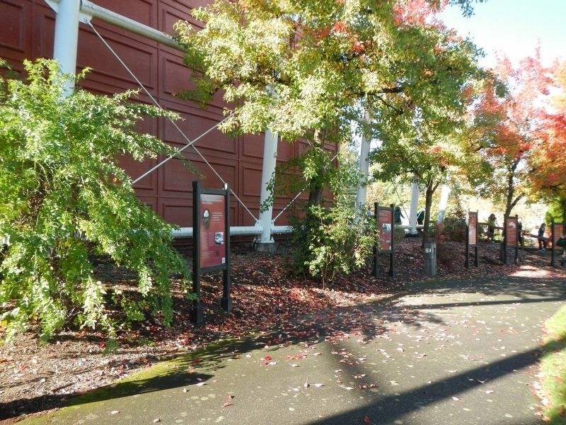
More about this marker. This marker is located next to the End Of Oregon Trail Interpretive Center facing outward towards Abernethy Green.
Credits. This page was last revised on February 13, 2018. It was originally submitted on February 13, 2018, by Barry Swackhamer of Brentwood, California. This page has been viewed 230 times since then and 19 times this year. Photos: 1, 2. submitted on February 13, 2018, by Barry Swackhamer of Brentwood, California.
