Near Corbett in Multnomah County, Oregon — The American West (Northwest)
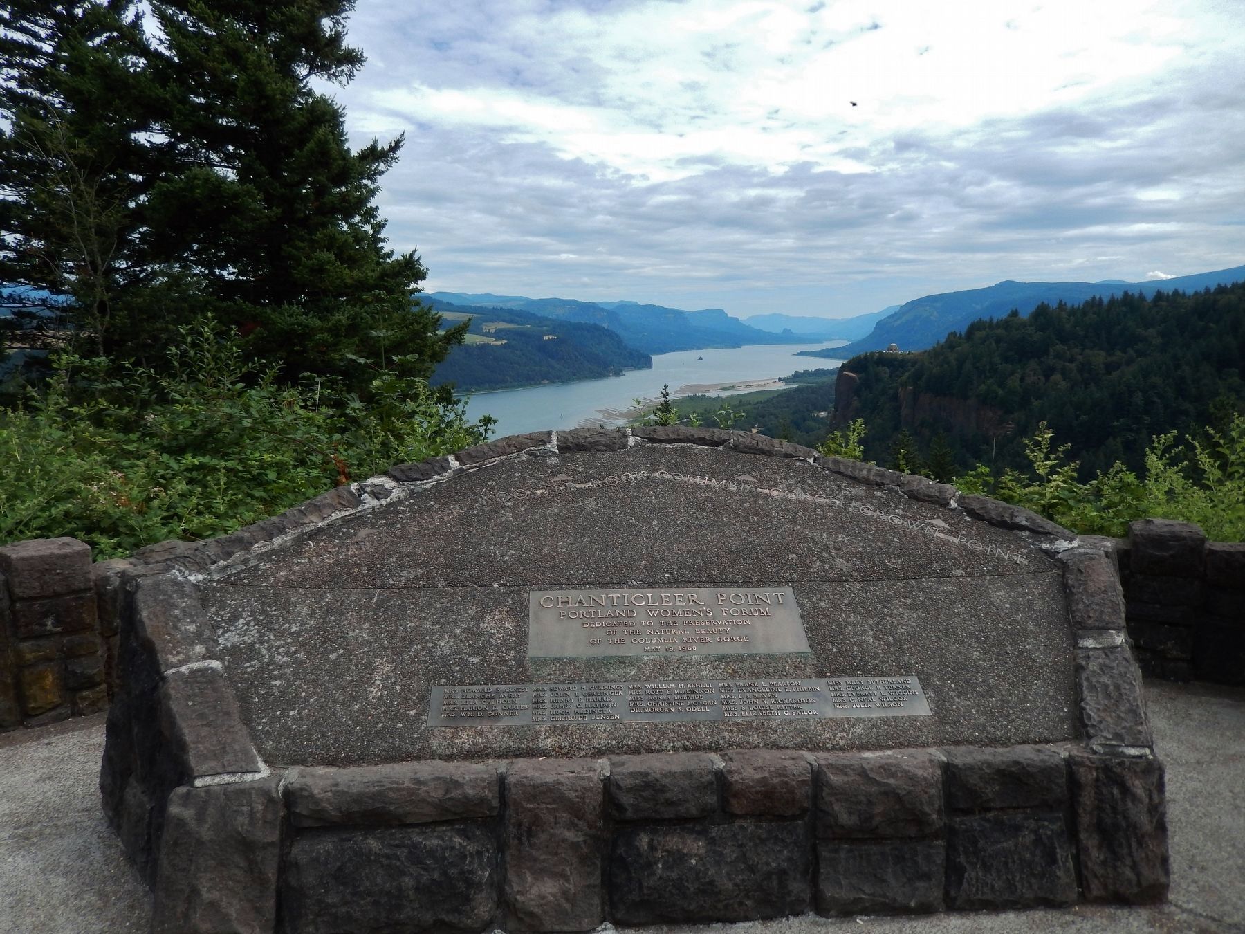
Chanticleer Point
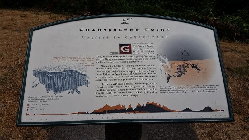
Crafted by Cataclysms
There is much of legend and tradition associated with the Columbia River and its gorge. The geologic story is neither fable, myth nor tradition, but one of fact, facts that independently stand out in every rock and waterfall, as if begging for recognition.
Ira A. Williams
Geologist, 1916
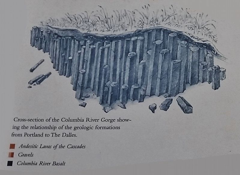
Geologists tell us the Cascade Range formed 35 million years ago as plates of the Earth's crust collided. Then, 20 million years ago, molten basalt gushing from cracks near the Idaho border covered 80,000 square miles and shifted the Columbia River north to its present location.
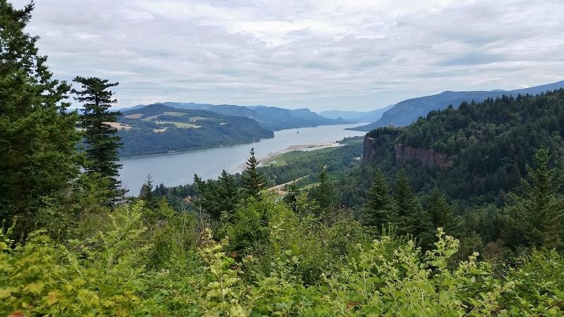
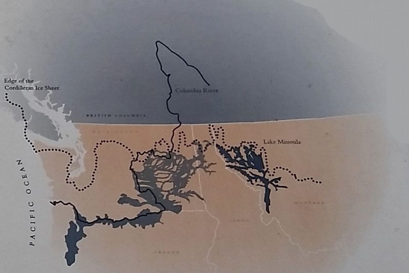
During the last Ice Age, melting ice dams in Montana released massive floods that scoured this canyon perhaps 100 times – waters so high, they surged over the top of Crown Point. Helped by these floods, the Columbia cut through layers of stone faster than her smaller tributaries, creating the greatest concentration of high waterfalls in North America. Lava no longer flows to laminate this landscape, and the Ice Age is long past, but the Gorge remains dynamic. Landslides continue to move mountains, and tiny crystalline droplets caught by winter's freeze, crack the cliffs etching another season into the Columbia's Gorge.
Topics. This historical marker is listed in these topic lists: Environment • Waterways & Vessels.
Location. 45° 32.077′ N, 122° 15.63′ W. Marker is near Corbett, Oregon, in Multnomah County. Marker can be reached from Historic Columbia River Highway west of East Knieriem Road, on the right when traveling west. Marker is located at the north end of the Portland Women's Forum Scenic State Viewpoint parking lot. Touch for map. Marker is at or near this postal address: 39210 Historic Columbia River Highway, Corbett OR 97019, United States of America. Touch for directions.
Other nearby markers. At least 8 other markers are within 2 miles of this marker, measured as the crow flies. A different marker also named Chanticleer Point (about 300 feet away, measured in a direct line); Samuel Hill – “Road Builder” (about 500 feet away); Vista House (approx. 0.8 miles away); Marshall N. Dana (approx. 0.8 miles away); Samuel C. Lancaster (approx. 0.9 miles away); Broughton’s Expedition (approx. 0.9 miles away); Camping Among the Giants (approx. 1˝ miles away); Rooster Rock State Park (approx. 1˝ miles away). Touch for a list and map of all markers in Corbett.
Related markers. Click here for a list of markers that are related to this marker.
Photographed By Cosmos Mariner, July 12, 2015
3. Marker detail: Ice Age Floods
The first Ice Age floods were the largest and dirtiest.
Carrying rock-laden icebergs and vast amounts of debris, these floods scoured the landscape of vegetation and removed up to 150 feet of topsoil. Floodwaters surged nearly 1,000 feet deep through the Gorge, and farther west they spread out to cover the Portland Basin with 400 feet of water.
Credits. This page was last revised on October 20, 2020. It was originally submitted on February 13, 2018, by Cosmos Mariner of Cape Canaveral, Florida. This page has been viewed 359 times since then and 35 times this year. Last updated on March 2, 2018, by T. Patton of Jefferson, Georgia. Photos: 1, 2, 3, 4, 5. submitted on February 13, 2018, by Cosmos Mariner of Cape Canaveral, Florida. • Syd Whittle was the editor who published this page.
