Centreville in Fairfax County, Virginia — The American South (Mid-Atlantic)
Minnie Minter Carter Saunders
Minnie Minter Carter Saunders
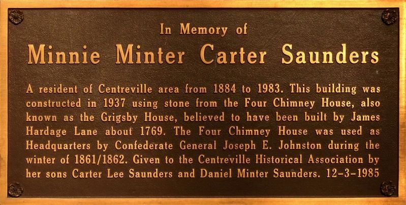
A resident of Centreville area from 1884 to 1983. This building was constructed in 1937 using stone from Four Chimney House, also know as Grigsby House, believed to have been built by James Hardage Lane about 1769. The Four Chimney House was used as Headquarters by Confederate General Joseph E. Johnston during the winter of 1861/1862. Given to the Centreville Historical Association by her sons Carter Lee Saunders and Daniel Minter Saunders, 12-3-1985
Topics. This historical marker is listed in these topic lists: War, US Civil • Women. A significant historical year for this entry is 1884.
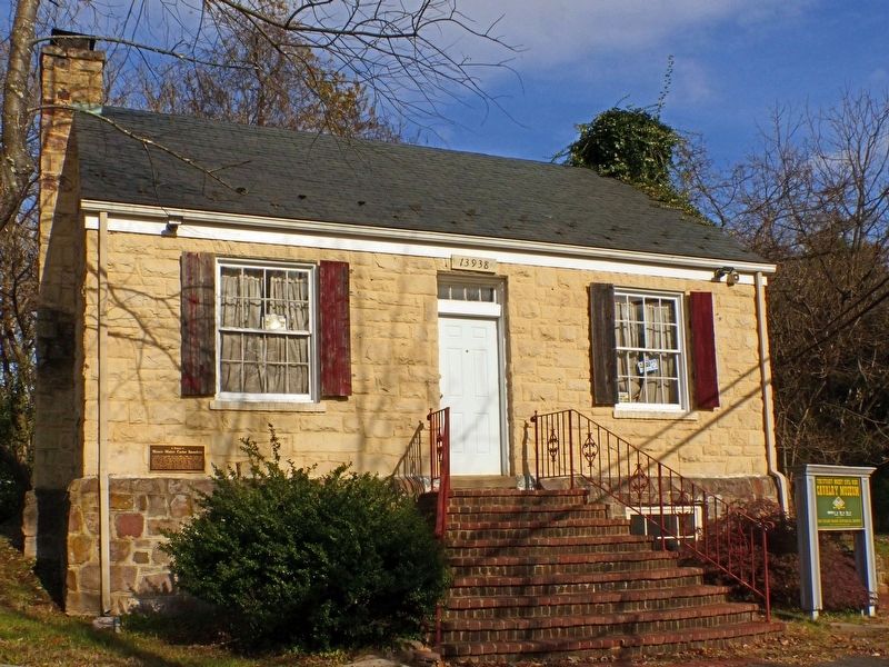
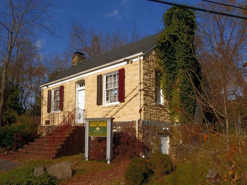
Location. 38° 50.493′ N, 77° 25.757′ W. Marker is in Centreville, Virginia, in Fairfax County. Marker can be reached from Braddock Road (Virginia Route 620) north of Mt Gilead Road, on the right when traveling north. This marker is on the front wall of the Stuart-Mosby Historical Society building. Touch for map. Marker is at or near this postal address: 13938 Braddock Road, Centreville VA 20120, United States of America. Touch for directions.
Other nearby markers. At least 8 other markers are within walking distance of this marker. Old Stone Church (within shouting distance of this marker); Centreville Methodist Church (within shouting distance of this marker); a different marker also named Centreville Methodist Church (within shouting distance of this marker); Mount Gilead Historic Site (about 500 feet away, measured in a direct line); Mount Gilead (about 500 feet away); Historic Centreville Park (about 500 feet away); Harrison House (about 500 feet away); Archaeology at Newgate Tavern (about 500 feet away). Touch for a list and map of all markers in Centreville.
Also see . . . Stuart-Mosby Civil War Cavalry Museum. (Submitted on February 14, 2018, by Allen C. Browne of Silver Spring, Maryland.)
Credits. This page was last revised on January 2, 2021. It was originally submitted on February 14, 2018, by Allen C. Browne of Silver Spring, Maryland. This page has been viewed 452 times since then and 18 times this year. Photos: 1, 2, 3, 4. submitted on February 14, 2018, by Allen C. Browne of Silver Spring, Maryland. • Bernard Fisher was the editor who published this page.


