Umatilla in Umatilla County, Oregon — The American West (Northwest)
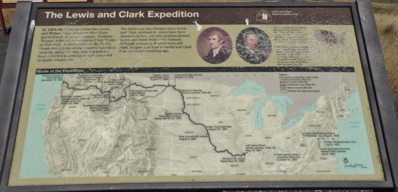
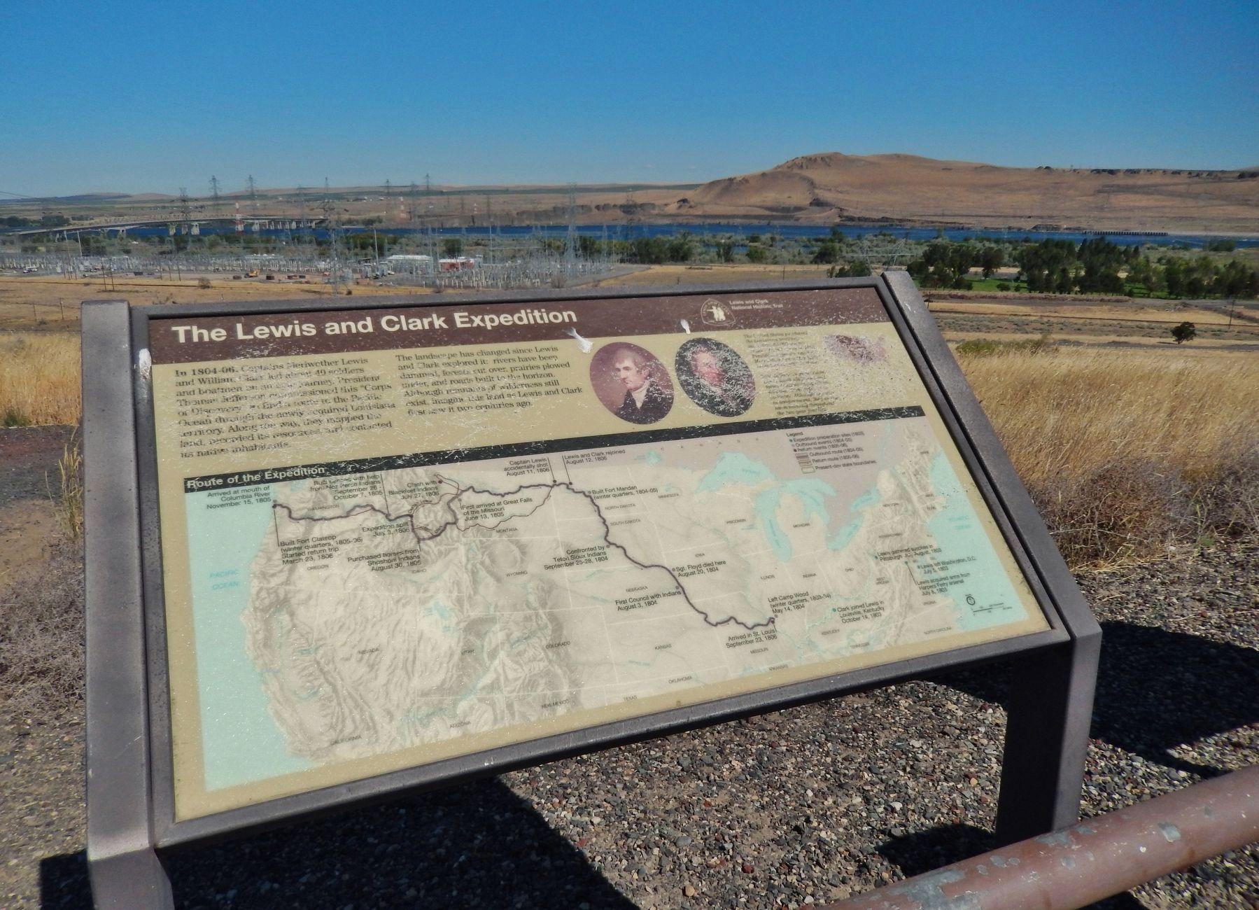
The Lewis and Clark Expedition
In 1804-06, Captains Meriwether Lewis and William Clark led about 40 soldiers and boatmen on an epic journey. President Thomas Jefferson commissioned this "Corps of Discovery" to find a route to the Pacific Ocean through the newly acquired Louisiana territory. Along the way, they mapped the land, recorded its resources, and contacted its native inhabitants.
The landscape has changed since Lewis and Clark explored it: rivers have been dammed, forests cut over, prairies plowed under, and roads built to the horizon. Although remnants of wilderness still exist, imagine this land as Lewis and Clark first saw it two centuries ago.
Erected by National Park Service, U.S. Department of the Interior.
Topics and series. This historical marker is listed in these topic lists: Exploration • Native Americans • Waterways & Vessels. In addition, it is included in the Former U.S. Presidents: #03 Thomas Jefferson, and the Lewis & Clark Expedition series lists. A significant historical year for this entry is 1805.
Location. 45° 55.205′ N, 119° 18.292′ W. Marker is in Umatilla, Oregon, in Umatilla County. Marker is on Devore Road north of 6th Street (U.S. 730), on the left when traveling north. Marker is located in a pull-out and interpretive plaza on the north side of the road, overlooking the Columbia River, McNary Dam, and Lake Wallula. Touch for map. Marker is in this post office area: Umatilla OR 97882, United States of America. Touch for directions.
Other nearby markers. At least 8 other markers are within 7 miles of this marker, measured as the crow flies. The Umatilla Rapids (here, next to this marker); Cayuse, Umatilla and Walla Walla Homeland (a few steps from this marker); Patímaša Tiičámna (a few steps from this marker); Strangers "from the clouds" (approx. 2.4 miles away in Washington); How Do You Make a Hat? (approx. 6½ miles away); Naamí Tiičám Ku Waqíšwit (approx. 6.6 miles away); A Team of Discovery (approx. 6.6 miles away); It's All Downhill From Here (approx. 6.6 miles away). Touch for a list and map of all markers in Umatilla.
Related markers. Click here for a list of markers that are related to this marker.
Also see . . .
1. Lewis & Clark near the Umatilla River.
As the expedition continued down the Columbia and neared the mouth of the Umatilla River, Indian reactions began to change dramatically - first by fear and then by ill-concealed hostility. That fear became evident during the afternoon of October 19 as the explorers left Walula territory and entered that occupied by Umatillas. Throughout the afternoon, the men saw hastily abandoned villages and frightened Indians. "At our approach," said Clark, "they hid themselves in their Lodges and not one was to be seen until we passed." (Submitted on February 14, 2018, by Cosmos Mariner of Cape Canaveral, Florida.)
2. Clark, October 19, 1805.
The islands and rapids in this area between Spring Gulch and the Umatilla Rapids are now under the waters of Lake Wallula, the reservoir behind the McNary Dam. Today's locations passed by Lewis and Clark include Sand Station, Warehouse Beach, and McNary Beach, all U.S. Army Corps of Engineers Recreation Areas. This area today is the location of Umatilla, Oregon, and Plymouth, Washington, and is spanned not only by McNary Dam but also my the Interstate 82/395 Bridge. The Umatilla Rapids are below the waters of Lake Wallula, the waters behind McNary Dam. (Submitted on February 14, 2018, by Cosmos Mariner of Cape Canaveral, Florida.)
Credits. This page was last revised on August 5, 2020. It was originally submitted on February 14, 2018, by Cosmos Mariner of Cape Canaveral, Florida. This page has been viewed 348 times since then and 50 times this year. Photos: 1, 2, 3, 4. submitted on February 14, 2018, by Cosmos Mariner of Cape Canaveral, Florida. • Andrew Ruppenstein was the editor who published this page.


