Near Mitchell in Wheeler County, Oregon — The American West (Northwest)
Who was John Day?
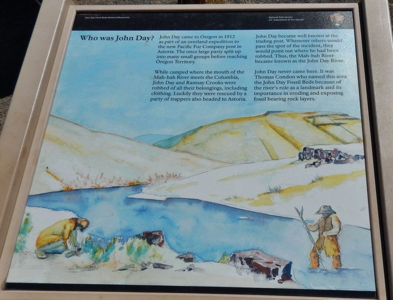
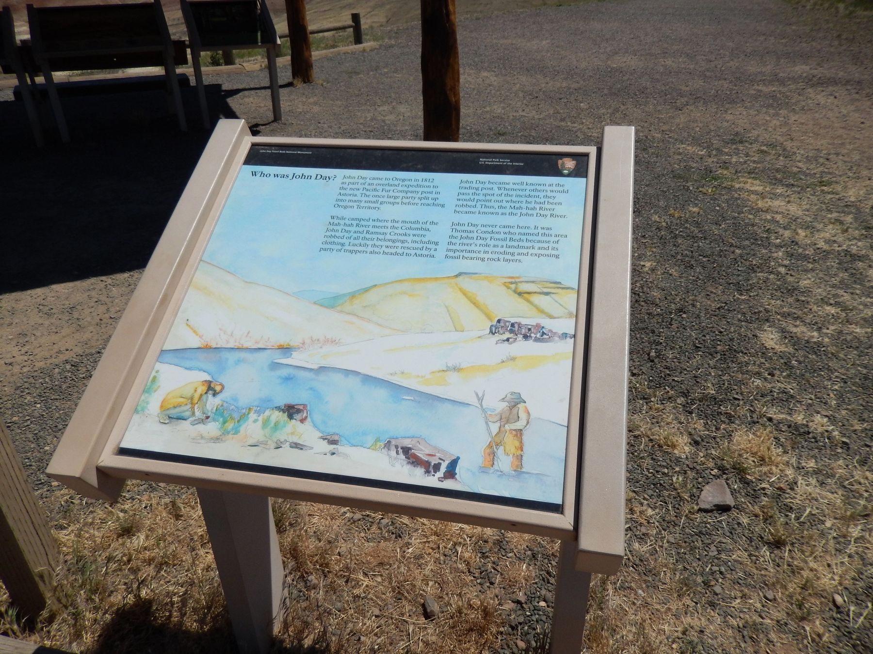
John Day came to Oregon in 1812 as part of an overland expedition to the new Pacific Fur Company post in Astoria. The once large party split up into many small groups before reaching Oregon Territory.
While camped where the mouth of the Mah-hah River meets the Columbia, John Day and Ramsay Crooks were robbed of all their belongings, including clothing. Luckily they were rescued by a party of trappers also headed to Astoria.
John Day became well known at the trading post. Whenever others would pass the spot of the incident, they would point out where he had been robbed. Thus, the Mah-hah River became known as the John Day River.
John Day never came here. It was Thomas Condon who named this area the John Day Fossil Beds because of the river's role as a landmark and its importance in eroding and exposing fossil bearing rock layers.
Erected by National Park Service, US Department of the Interior.
Topics. This historical marker is listed in these topic lists: Exploration • Industry & Commerce • Settlements & Settlers. A significant historical year for this entry is 1812.
Location. 44° 38.991′ N, 120° 16.006′ W. Marker is near Mitchell, Oregon, in Wheeler County. Marker can be reached from Bear Creek Road, 1.2 miles west of Bridge Creek - Burnt Ranch Road when traveling west. Marker is located in the Painted Hills Unit of John Day Fossil Beds National Monument, beside the kiosk at the end of the road to the Painted Hills Overlook parking lot and trailhead; the above directions are to the intersection of Bear Creek Road and the Painted Hills Overlook road. Touch for map. Marker is in this post office area: Mitchell OR 97750, United States of America. Touch for directions.
Other nearby markers. At least 8 other markers are within 11 miles of this marker, measured as the crow flies. Painted by the Past (here, next to this marker); Painted Hills Overlook (here, next to this marker); Pieces of the Puzzle (here, next to this marker); Deciphering the Forest (here, next to this marker); A Matter of Survival (here, next to this marker); Fossils on the Frontier (approx. 0.8 miles away); Look Below the Surface (approx. 0.8 miles away); H.H. Wheeler (approx. 10.3 miles away). Touch for a list and map of all markers in Mitchell.
Also see . . . John Day.
One member of Astor's overland expedition was John Day (1771-1819/20), a backwoods Virginian and experienced hunter, trader, and miner. On the banks of the Snake River in Idaho, Day fell ill, and was left behind with his associate Ramsay Crooks. The two men reached the mouth of the river, which subsequently bore his name. Near this stream, the men were robbed by Indians and stripped of their clothing. Day and Crooks were soon rescued and taken on to the newly established post at Astoria, arriving in May of 1912. Day later reportedly suffered either a mental breakdown or disability from extreme depression. With scant historic documentation to explain it, trapper John Day became legend in the region. His name was forever imprinted on the land through the John Day River and its basin, the community of John Day, and John Day Dam on the Columbia. (Submitted on February 15, 2018, by Cosmos Mariner of Cape Canaveral, Florida.)
Credits. This page was last revised on December 3, 2019. It was originally submitted on February 15, 2018, by Cosmos Mariner of Cape Canaveral, Florida. This page has been viewed 368 times since then and 21 times this year. Photos: 1, 2. submitted on February 15, 2018, by Cosmos Mariner of Cape Canaveral, Florida. • Bill Pfingsten was the editor who published this page.

