Near Oregon City in Clackamas County, Oregon — The American West (Northwest)
Area Commerce

Photographed By Barry Swackhamer, September 25, 2017
1. Area Commerce Marker
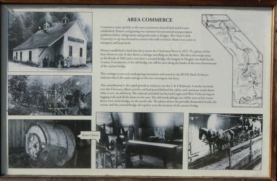
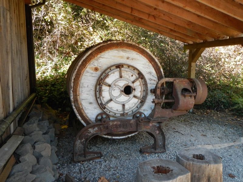
Photos: (top left) Clear Creek Creamery; (center left) C & E Railroad trestle and covered bridge; (bottom left and bottom center) Butter churn machinery; (bottom right) Carriage on Baker's ferry; (upper right) Map of the Clackamas & Eastern Railroad.
Horace established a slack-line ferry across the Clackamas River in 1872. The photo of the ferry shows its size. It also shows a carriage traveling on the ferry. The ferry was swept away in the floods of 1882 and a year later a covered bridge, the longest in Oregon, was built by the County. Foundations of the old bridge can still be seen along the banks of the river downstream of the current bridge.
This carriage is currently undergoing restoration and stored in the BCHS Shed. Evidence indicates this is the same carriage as the one crossing on the ferry.
Also contributing to the rapid growth in industry was the C & E Railroad. A trestle was built over the Clackamas River and the rail bed passed behind the cabin, and continues south down what is now the driveway. The railroad extended beyond Logan and West Viola serving six logging mills and all the farms in the area. The old trestle pilings can still be seen at low water: down river of the bridge on the north side. The photo shows the partially dismantled trestle, the tavern and the covered bridge all together near the location of the current bridge.
Erected by The Old Timers' Association of Carver, Oregon.
Topics. This historical marker is listed in these topic lists: Industry & Commerce • Railroads & Streetcars • Settlements & Settlers.
Location. 45° 23.414′ N, 122° 29.805′ W. Marker is near Oregon City, Oregon, in Clackamas County. Marker can be reached from South Gronlund Road near Carver Road, on the right when traveling west. Touch for map. Marker is at or near this postal address: 1800 South Gronlund Road, Oregon City OR 97045, United States of America. Touch for directions.
Other nearby markers. At least 8 other markers are within 5 miles of this marker, measured as the crow flies. Grinding Rock (a few steps from this marker); The Baker Family (a few steps from this marker); The Baker Cabin Overview (a few steps from this marker); The Baker Cabin (within shouting distance of this marker); Baker Site (about 300 feet away, measured in a direct line); Baker Cabin Pioneer Church (about 400 feet away); Baker Cabin Historical Society (about 500 feet away); Willamette Falls, circa 1880 (approx. 5 miles away). Touch for a list and map of all markers in Oregon City.
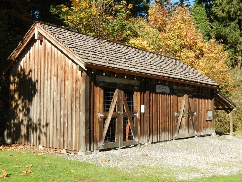
More about this marker. This marker is mounted on the shed located on the grounds of
Baker Cabin Historical Site.
Also see . . . Clackamas and Eastern Railroad - Abandoned Railroads of the North West. The Clackamas and Eastern railroad was built in 1913 to the city of Carver, but over the next few decades the railroad would be met with financial failure after financial failure. Hardly used, the railroad was finally completed another 20 miles into the woods south of Carver and almost to the town of Colton, Oregon. During it's short lifespan it served several mills, but today almost no trace of it exists. (Submitted on February 19, 2018, by Barry Swackhamer of Brentwood, California.)
Credits. This page was last revised on February 19, 2018. It was originally submitted on February 19, 2018, by Barry Swackhamer of Brentwood, California. This page has been viewed 227 times since then and 9 times this year. Photos: 1, 2, 3. submitted on February 19, 2018, by Barry Swackhamer of Brentwood, California.

